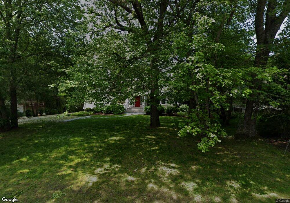
61 Wagner Rd Westerly, RI 02891
Estimated Value: $1,438,000 - $1,690,268
3
Beds
3
Baths
2,343
Sq Ft
$671/Sq Ft
Est. Value
About This Home
This home is located at 61 Wagner Rd, Westerly, RI 02891 and is currently estimated at $1,572,317, approximately $671 per square foot. 61 Wagner Rd is a home located in Washington County with nearby schools including Westerly High School.
Ownership History
Date
Name
Owned For
Owner Type
Purchase Details
Closed on
Nov 3, 2025
Sold by
Scaggs Clifton and Scaggs Mary A
Bought by
Clifton G Scaggs Ret and Scaggs
Current Estimated Value
Purchase Details
Closed on
Jun 5, 1987
Bought by
Scaggs Clifton
Create a Home Valuation Report for This Property
The Home Valuation Report is an in-depth analysis detailing your home's value as well as a comparison with similar homes in the area
Home Values in the Area
Average Home Value in this Area
Purchase History
| Date | Buyer | Sale Price | Title Company |
|---|---|---|---|
| Clifton G Scaggs Ret | -- | -- | |
| Scaggs Clifton | -- | -- |
Source: Public Records
Mortgage History
| Date | Status | Borrower | Loan Amount |
|---|---|---|---|
| Previous Owner | Scaggs Clifton | $402,000 | |
| Previous Owner | Scaggs Clifton | $405,000 | |
| Previous Owner | Scaggs Clifton | $417,000 |
Source: Public Records
Tax History
| Year | Tax Paid | Tax Assessment Tax Assessment Total Assessment is a certain percentage of the fair market value that is determined by local assessors to be the total taxable value of land and additions on the property. | Land | Improvement |
|---|---|---|---|---|
| 2025 | $8,827 | $1,241,500 | $648,600 | $592,900 |
| 2024 | $9,333 | $951,400 | $463,200 | $488,200 |
| 2023 | $9,152 | $951,400 | $463,200 | $488,200 |
| 2022 | $9,095 | $951,400 | $463,200 | $488,200 |
| 2021 | $8,266 | $717,500 | $332,400 | $385,100 |
| 2020 | $8,115 | $717,500 | $332,400 | $385,100 |
| 2019 | $8,036 | $717,500 | $332,400 | $385,100 |
| 2018 | $7,728 | $650,500 | $302,200 | $348,300 |
| 2017 | $7,539 | $650,500 | $302,200 | $348,300 |
| 2016 | $7,598 | $650,500 | $302,200 | $348,300 |
| 2015 | $7,308 | $675,400 | $308,400 | $367,000 |
| 2014 | $7,186 | $675,400 | $308,400 | $367,000 |
Source: Public Records
Map
Nearby Homes
- 6 Verdi Rd
- 346 Post Rd
- 342 Post Rd
- 35 Robin Hollow Ln
- 853 W Beach Rd
- 43 Noyes Neck Rd
- 5 Robin Hollow Ln
- 25 W End Rd
- 5259 Old Post Rd
- 135 Ross Hill Rd
- 143 Ross Hill Rd
- 15 Breach Dr
- 22 Breach Dr
- 5717 Post Rd
- 30 Clifford Dr
- 194 Ross Hill Rd
- 20 Snowberry Ln
- 26 Charlene Ave
- 13 Plateau Rd
- 470 Atlantic Ave
Your Personal Tour Guide
Ask me questions while you tour the home.