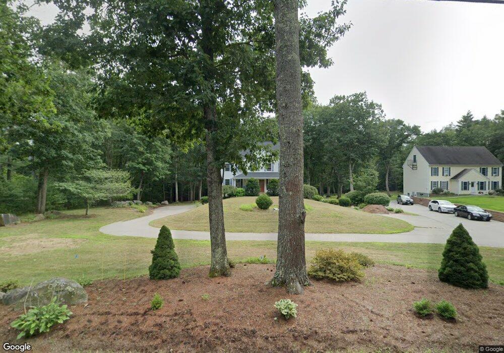
61 Whitehouse Rd Unit A Rochester, NH 03867
Estimated Value: $342,000 - $401,511
3
Beds
2
Baths
1,575
Sq Ft
$238/Sq Ft
Est. Value
About This Home
This home is located at 61 Whitehouse Rd Unit A, Rochester, NH 03867 and is currently estimated at $374,378, approximately $237 per square foot. 61 Whitehouse Rd Unit A is a home located in Strafford County with nearby schools including William Allen School, Rochester Middle School, and Spaulding High School.
Ownership History
Date
Name
Owned For
Owner Type
Purchase Details
Closed on
Nov 21, 2005
Sold by
Whitehouse Rd Llc
Bought by
Meske Barbara A
Current Estimated Value
Home Financials for this Owner
Home Financials are based on the most recent Mortgage that was taken out on this home.
Original Mortgage
$150,000
Interest Rate
6.07%
Create a Home Valuation Report for This Property
The Home Valuation Report is an in-depth analysis detailing your home's value as well as a comparison with similar homes in the area
Home Values in the Area
Average Home Value in this Area
Purchase History
| Date | Buyer | Sale Price | Title Company |
|---|---|---|---|
| Meske Barbara A | $209,900 | -- | |
| Meske Barbara A | $209,900 | -- |
Source: Public Records
Mortgage History
| Date | Status | Borrower | Loan Amount |
|---|---|---|---|
| Open | Meske Barbara A | $137,300 | |
| Closed | Meske Barbara A | $150,000 |
Source: Public Records
Tax History Compared to Growth
Tax History
| Year | Tax Paid | Tax Assessment Tax Assessment Total Assessment is a certain percentage of the fair market value that is determined by local assessors to be the total taxable value of land and additions on the property. | Land | Improvement |
|---|---|---|---|---|
| 2024 | $5,304 | $357,200 | $0 | $357,200 |
| 2023 | $5,889 | $228,800 | $0 | $228,800 |
| 2022 | $5,784 | $228,800 | $0 | $228,800 |
| 2021 | $5,640 | $228,800 | $0 | $228,800 |
| 2020 | $5,631 | $228,800 | $0 | $228,800 |
| 2019 | $5,697 | $228,800 | $0 | $228,800 |
| 2018 | $5,014 | $182,200 | $0 | $182,200 |
| 2017 | $4,797 | $182,200 | $0 | $182,200 |
| 2016 | $4,584 | $162,200 | $0 | $162,200 |
| 2015 | $4,566 | $162,200 | $0 | $162,200 |
| 2014 | $4,456 | $162,200 | $0 | $162,200 |
| 2013 | $4,961 | $188,200 | $0 | $188,200 |
| 2012 | $4,833 | $188,200 | $0 | $188,200 |
Source: Public Records
Map
Nearby Homes
- 10 Ashleigh Way
- 59 Constitution Way
- 13 Dockside Ln
- 265 Lowell St
- 10 Tumbleweed Dr
- 4 Lilac Dr
- 22 S Blueberry Ln
- 4 S Dewberry Ln
- 395 Route 108
- 10 Roseberry Ln
- 22 S Dewberry Ln
- 6 S Dewberry Ln
- 9 S Blueberry Ln
- 17 S Fuchsia Dr
- 2 Alex Ct
- 5 N Fuchsia Dr
- Lot 12 Rochester Hill Rd
- Lot 12-2 Rochester Hill Rd
- 34 Coles Pond Rd
- 0 Pickering Rd Unit 5026038
- 61 Whitehouse Rd Unit B
- 59 Whitehouse Rd
- 62 Whitehouse Rd
- 53 Whitehouse Rd
- 65 Whitehouse Rd
- 13 Whitehouse Rd
- 58 Whitehouse Rd
- 56 Whitehouse Rd Unit 10
- 56 Whitehouse Rd
- 52 Whitehouse Rd
- 51 Whitehouse Rd
- 70 Whitehouse Rd
- 50 Whitehouse Rd
- 47 Whitehouse Rd
- 71 Whitehouse Rd
- 76 Whitehouse Rd
- 1 Country Ridge Mhp
- 10 Country Ridge Mhp Park
- 10 Country Ridge Mhp Park
- 45 Whitehouse Rd