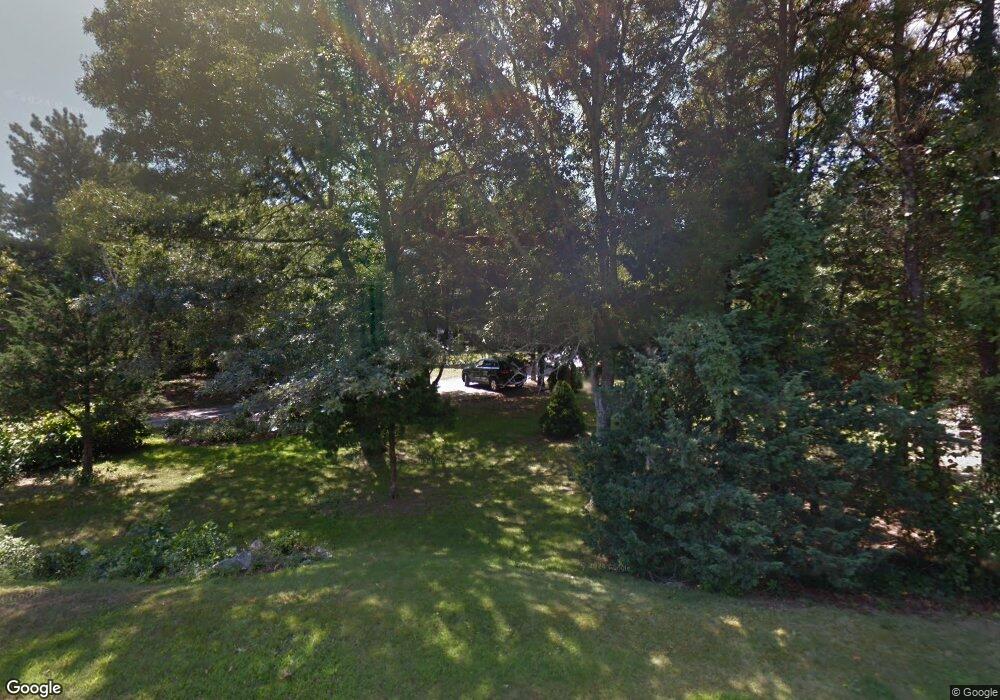
61 Williams Path West Barnstable, MA 02668
West Barnstable NeighborhoodEstimated Value: $1,149,000 - $1,237,000
4
Beds
4
Baths
3,267
Sq Ft
$370/Sq Ft
Est. Value
About This Home
This home is located at 61 Williams Path, West Barnstable, MA 02668 and is currently estimated at $1,210,276, approximately $370 per square foot. 61 Williams Path is a home located in Barnstable County with nearby schools including West Barnstable Elementary School, Barnstable United Elementary School, and Barnstable Intermediate School.
Create a Home Valuation Report for This Property
The Home Valuation Report is an in-depth analysis detailing your home's value as well as a comparison with similar homes in the area
Home Values in the Area
Average Home Value in this Area
Tax History Compared to Growth
Tax History
| Year | Tax Paid | Tax Assessment Tax Assessment Total Assessment is a certain percentage of the fair market value that is determined by local assessors to be the total taxable value of land and additions on the property. | Land | Improvement |
|---|---|---|---|---|
| 2025 | $9,800 | $1,049,200 | $244,600 | $804,600 |
| 2024 | $8,626 | $1,005,400 | $244,600 | $760,800 |
| 2023 | $8,114 | $890,700 | $222,400 | $668,300 |
| 2022 | $7,910 | $712,000 | $152,900 | $559,100 |
| 2021 | $7,449 | $635,600 | $155,300 | $480,300 |
| 2020 | $7,234 | $596,900 | $155,300 | $441,600 |
| 2019 | $1,820 | $555,700 | $164,700 | $391,000 |
| 2018 | $1,738 | $531,100 | $191,900 | $339,200 |
| 2017 | $6,290 | $513,900 | $191,900 | $322,000 |
| 2016 | $6,138 | $511,900 | $189,900 | $322,000 |
| 2015 | $6,246 | $522,200 | $190,300 | $331,900 |
Source: Public Records
Map
Nearby Homes
- 50 Wayside Ln
- 3 Mulberry Cir
- 510 Cedar St
- 75 Old Toll Rd
- 515 Cedar St
- 6 Harpers Hollow
- 566 Route 6a
- 0 Captain Kidd Rd
- 29 Fish House Rd
- 159 Great Hill Rd
- 282 Parker Rd
- 50 Currycomb Cir
- 174 N Shore Blvd Unit 1
- 168 N Shore Blvd
- 6 George Gallant Rd
- 74 Saddler Ln
- 20 Crestview Dr
- 168 North Shore Unit 12
- 2 Marie Ln
- 32 Willington Ave
