61 Windsor Ln North Andover, MA 01845
Estimated Value: $920,483 - $1,322,000
4
Beds
3
Baths
2,464
Sq Ft
$434/Sq Ft
Est. Value
About This Home
This home is located at 61 Windsor Ln, North Andover, MA 01845 and is currently estimated at $1,069,371, approximately $433 per square foot. 61 Windsor Ln is a home located in Essex County with nearby schools including Annie L Sargent Elementary School, North Andover Middle School, and North Andover High School.
Ownership History
Date
Name
Owned For
Owner Type
Purchase Details
Closed on
Oct 9, 2024
Sold by
Glover Richard J and Glover Maryann
Bought by
Glover Richard J and Glover Maryann
Current Estimated Value
Purchase Details
Closed on
Sep 25, 1992
Sold by
Acuna Daniel P
Bought by
Glover Richard J
Purchase Details
Closed on
Apr 17, 1987
Sold by
Jennifer Rlty Trust
Bought by
Perone Ronald J
Create a Home Valuation Report for This Property
The Home Valuation Report is an in-depth analysis detailing your home's value as well as a comparison with similar homes in the area
Home Values in the Area
Average Home Value in this Area
Purchase History
| Date | Buyer | Sale Price | Title Company |
|---|---|---|---|
| Glover Richard J | -- | None Available | |
| Glover Richard J | -- | None Available | |
| Glover Richard J | $250,000 | -- | |
| Glover Richard J | $250,000 | -- | |
| Perone Ronald J | $275,500 | -- |
Source: Public Records
Mortgage History
| Date | Status | Borrower | Loan Amount |
|---|---|---|---|
| Previous Owner | Perone Ronald J | $50,000 | |
| Previous Owner | Perone Ronald J | $290,000 | |
| Previous Owner | Perone Ronald J | $230,300 |
Source: Public Records
Tax History Compared to Growth
Tax History
| Year | Tax Paid | Tax Assessment Tax Assessment Total Assessment is a certain percentage of the fair market value that is determined by local assessors to be the total taxable value of land and additions on the property. | Land | Improvement |
|---|---|---|---|---|
| 2025 | $9,566 | $849,600 | $413,900 | $435,700 |
| 2024 | $9,090 | $819,700 | $392,100 | $427,600 |
| 2023 | $8,655 | $707,100 | $331,200 | $375,900 |
| 2022 | $8,413 | $621,800 | $300,700 | $321,100 |
| 2021 | $8,056 | $568,500 | $272,400 | $296,100 |
| 2020 | $7,811 | $568,500 | $272,400 | $296,100 |
| 2019 | $7,624 | $568,500 | $272,400 | $296,100 |
| 2018 | $8,260 | $568,500 | $272,400 | $296,100 |
| 2017 | $7,000 | $490,200 | $213,500 | $276,700 |
| 2016 | $6,646 | $465,700 | $212,200 | $253,500 |
| 2015 | $6,686 | $464,600 | $208,700 | $255,900 |
Source: Public Records
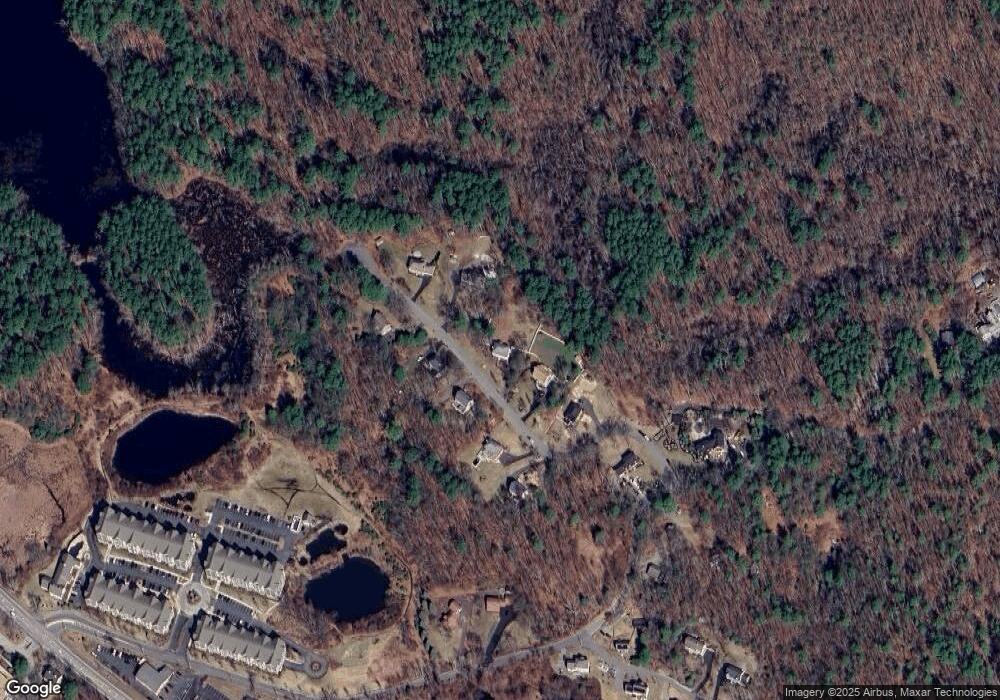
Map
Nearby Homes
- 80 Compass Point Unit 80
- 66 Compass Point Unit 66
- 53 Old Cart Way
- 120 Gray St
- 42 Olympic Ln
- 194 Olympic Ln
- 3 Harvest Dr Unit 210
- 1 Harvest Dr Unit 205
- 4 Harvest Dr Unit 214
- 453 Forest St
- 54 Sterling Ln
- 82 Raleigh Tavern Ln
- 851 Forest St
- 480 Sharpners Pond Rd
- 3 Wallen Way
- 127 Tucker Farm Rd
- 12 Farnum St
- 6 Gray Rd
- 30 Sherwood Dr
- 40 Flagship Dr