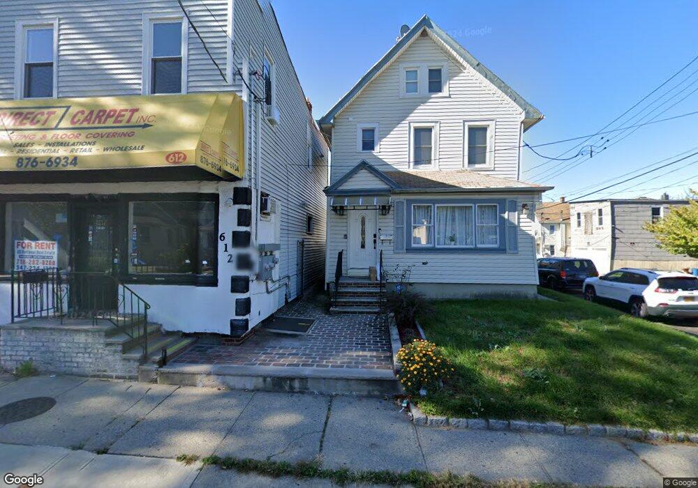
610-612 Manor Rd Staten Island, NY 10314
Westerleigh NeighborhoodEstimated Value: $737,949
--
Bed
--
Bath
3,110
Sq Ft
$237/Sq Ft
Est. Value
About This Home
This home is located at 610-612 Manor Rd, Staten Island, NY 10314 and is currently estimated at $737,949, approximately $237 per square foot. 610-612 Manor Rd is a home located in Richmond County with nearby schools including P.S. 29 Bardwell, Intermediate School 27, and Susan E Wagner High School.
Ownership History
Date
Name
Owned For
Owner Type
Purchase Details
Closed on
Dec 9, 2020
Sold by
Mmt Enterprise Inc
Bought by
610-612 Manor Road Llc
Current Estimated Value
Purchase Details
Closed on
Oct 24, 2005
Sold by
Gordon E Pettersen Enterprises Inc
Bought by
Mmt Enterprise Inc
Home Financials for this Owner
Home Financials are based on the most recent Mortgage that was taken out on this home.
Original Mortgage
$420,000
Interest Rate
6.39%
Mortgage Type
Commercial
Create a Home Valuation Report for This Property
The Home Valuation Report is an in-depth analysis detailing your home's value as well as a comparison with similar homes in the area
Home Values in the Area
Average Home Value in this Area
Purchase History
| Date | Buyer | Sale Price | Title Company |
|---|---|---|---|
| 610-612 Manor Road Llc | $600,000 | First American Title | |
| Mmt Enterprise Inc | $590,000 | Lawyers Title Ins Corp |
Source: Public Records
Mortgage History
| Date | Status | Borrower | Loan Amount |
|---|---|---|---|
| Previous Owner | Mmt Enterprise Inc | $420,000 |
Source: Public Records
Tax History Compared to Growth
Tax History
| Year | Tax Paid | Tax Assessment Tax Assessment Total Assessment is a certain percentage of the fair market value that is determined by local assessors to be the total taxable value of land and additions on the property. | Land | Improvement |
|---|---|---|---|---|
| 2025 | $6,299 | $63,960 | $7,235 | $56,725 |
| 2024 | $6,299 | $59,760 | $7,305 | $52,455 |
| 2023 | $6,370 | $31,363 | $7,134 | $24,229 |
| 2022 | $6,214 | $50,760 | $13,920 | $36,840 |
| 2021 | $6,180 | $45,000 | $13,920 | $31,080 |
| 2020 | $5,864 | $39,120 | $13,920 | $25,200 |
| 2019 | $5,467 | $34,020 | $13,920 | $20,100 |
| 2018 | $5,328 | $26,136 | $9,091 | $17,045 |
| 2017 | $5,288 | $25,939 | $9,582 | $16,357 |
| 2016 | $4,892 | $24,471 | $10,855 | $13,616 |
| 2015 | -- | $23,086 | $12,284 | $10,802 |
| 2014 | -- | $21,780 | $13,920 | $7,860 |
Source: Public Records
Map
Nearby Homes
- 33 Gower St
- 27 Sommers Ln
- 25 Winthrop Place
- 21 Winthrop Place
- 80 Beechwood Place
- 25 Coale Ave
- 80 Kemball Ave
- 77 Todt Hill Rd
- 148 Sturges St
- 136 Sturges St
- 83 N Gannon Ave Unit A
- 125 N Gannon Ave
- 1625 Victory Blvd
- 301 Slosson Ave
- 100 Knox Place
- 135 Todt Hill Rd
- 86 Clermont Place
- 254 Rice Ave
- 426 Slosson Ave
- 160 Todt Hill Rd