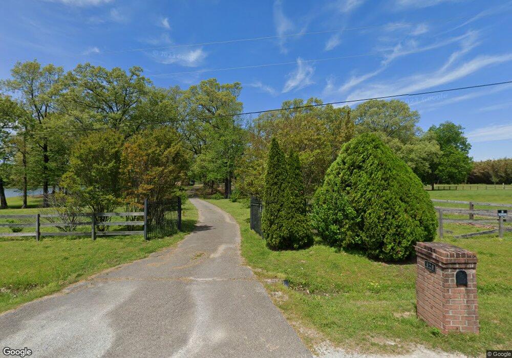
610 Bonnie Rd Oakland, TN 38060
Estimated Value: $423,000 - $513,034
--
Bed
4
Baths
3,173
Sq Ft
$148/Sq Ft
Est. Value
About This Home
This home is located at 610 Bonnie Rd, Oakland, TN 38060 and is currently estimated at $471,009, approximately $148 per square foot. 610 Bonnie Rd is a home located in Fayette County with nearby schools including Southwest Elementary School, West Junior High School, and Fayette Ware Comprehensive High School.
Ownership History
Date
Name
Owned For
Owner Type
Purchase Details
Closed on
Aug 17, 2021
Sold by
Huddleston Delphime R
Bought by
Huddleston Delphime Rice and Huddleston Livin Deiphime Rice
Current Estimated Value
Purchase Details
Closed on
Nov 8, 2001
Sold by
Marner Orlando K
Bought by
Huddleston Jeffrey L
Purchase Details
Closed on
Aug 14, 1996
Bought by
Marner Orlando K and Marner Patsy A
Purchase Details
Closed on
Sep 19, 1994
Bought by
Denson Lowell
Purchase Details
Closed on
Jan 2, 1987
Bought by
Denson Lowell and Jo Ann
Purchase Details
Closed on
Jan 1, 1986
Create a Home Valuation Report for This Property
The Home Valuation Report is an in-depth analysis detailing your home's value as well as a comparison with similar homes in the area
Home Values in the Area
Average Home Value in this Area
Purchase History
| Date | Buyer | Sale Price | Title Company |
|---|---|---|---|
| Huddleston Delphime Rice | -- | None Available | |
| Huddleston Jeffrey L | $77,000 | -- | |
| Marner Orlando K | $280,000 | -- | |
| Denson Lowell | -- | -- | |
| Denson Lowell | $25,000 | -- | |
| -- | $25,000 | -- |
Source: Public Records
Tax History Compared to Growth
Tax History
| Year | Tax Paid | Tax Assessment Tax Assessment Total Assessment is a certain percentage of the fair market value that is determined by local assessors to be the total taxable value of land and additions on the property. | Land | Improvement |
|---|---|---|---|---|
| 2025 | $1,176 | $143,225 | $33,425 | $109,800 |
| 2024 | $1,176 | $91,050 | $15,075 | $75,975 |
| 2023 | $1,176 | $91,050 | $0 | $0 |
| 2022 | $1,176 | $91,050 | $15,075 | $75,975 |
| 2021 | $1,176 | $91,050 | $15,075 | $75,975 |
| 2020 | $1,210 | $91,050 | $15,075 | $75,975 |
| 2019 | $1,210 | $80,300 | $15,075 | $65,225 |
| 2018 | $1,210 | $80,300 | $15,075 | $65,225 |
| 2017 | $1,210 | $80,300 | $15,075 | $65,225 |
| 2016 | $1,251 | $77,950 | $18,425 | $59,525 |
| 2015 | $1,251 | $77,950 | $18,425 | $59,525 |
| 2014 | $1,251 | $77,950 | $18,425 | $59,525 |
Source: Public Records
Map
Nearby Homes
- 395 Charlotte Dr
- 0 Sellers Dr Unit 10195078
- 0 Sellers Dr Unit LotWP001 19135269
- 290 Sellers Dr
- 75 Briarfield Cove
- 65 Briarfield Cove
- 230 Crooked Creek Dr
- 55 Cypress Point Rd
- 275 Misty Fields Cove
- 40 Chesnut Spring Cove
- 270 Whispering Ridge Dr
- 25 Whispering Ridge Cove
- 150 Misty Meadows Dr
- 2005 Clay Pond Dr
- 90 Hillside Dr
- 80 Misty Meadows Dr
- 330 Chestnut Ridge Cove
- 350 Chestnut Ridge Cove
- 355 Chestnut Ridge Cove
- 3845 Mebane Rd