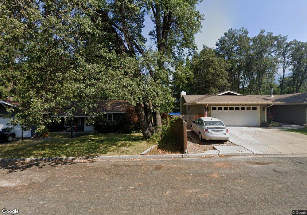
610 Hercules Dr Mount Shasta, CA 96067
Estimated Value: $359,000 - $548,000
4
Beds
2
Baths
2,004
Sq Ft
$212/Sq Ft
Est. Value
About This Home
This home is located at 610 Hercules Dr, Mount Shasta, CA 96067 and is currently estimated at $424,176, approximately $211 per square foot. 610 Hercules Dr is a home with nearby schools including Mt. Shasta Elementary School, Mt. Shasta High School, and Golden Eagle Charter School.
Ownership History
Date
Name
Owned For
Owner Type
Purchase Details
Closed on
Sep 23, 2013
Sold by
Birkett Marilyn Fay
Bought by
Birkett Marilyn Fay and The Marilyn Fay Birkett Family
Current Estimated Value
Purchase Details
Closed on
Aug 2, 2013
Sold by
Cansino Catherine M and Mcgowan Catherine M
Bought by
Birkett Marilyn Fay
Purchase Details
Closed on
Jul 31, 2013
Sold by
Mcgowan Edward C and Cansino Catherine M
Bought by
Cansino Catherine M
Purchase Details
Closed on
May 13, 2013
Sold by
Mcgowan Catherine M and Cansino Carisa A
Bought by
Birkett Marilyn
Purchase Details
Closed on
Oct 28, 2011
Sold by
Cansino Cristi C and The Cristi C Cansino Survivors
Bought by
Mcgowen Catherine M and Cansino Carisa A
Purchase Details
Closed on
Aug 29, 2011
Sold by
Cansino Catherine M
Bought by
Mcgowan Edward C and Cansino Catherine M
Create a Home Valuation Report for This Property
The Home Valuation Report is an in-depth analysis detailing your home's value as well as a comparison with similar homes in the area
Home Values in the Area
Average Home Value in this Area
Purchase History
| Date | Buyer | Sale Price | Title Company |
|---|---|---|---|
| Birkett Marilyn Fay | -- | None Available | |
| Birkett Marilyn Fay | -- | None Available | |
| Cansino Catherine M | -- | None Available | |
| Birkett Marilyn | -- | None Available | |
| Mcgowen Catherine M | -- | None Available | |
| Cansino Cristi C | -- | None Available | |
| Mcgowan Edward C | -- | None Available |
Source: Public Records
Tax History
| Year | Tax Paid | Tax Assessment Tax Assessment Total Assessment is a certain percentage of the fair market value that is determined by local assessors to be the total taxable value of land and additions on the property. | Land | Improvement |
|---|---|---|---|---|
| 2025 | $1,030 | $90,748 | $17,318 | $73,430 |
| 2023 | $1,030 | $87,227 | $16,647 | $70,580 |
| 2022 | $919 | $85,518 | $16,321 | $69,197 |
| 2021 | $904 | $83,842 | $16,001 | $67,841 |
| 2020 | $903 | $82,983 | $15,837 | $67,146 |
| 2019 | $886 | $81,357 | $15,527 | $65,830 |
| 2018 | $869 | $79,763 | $15,223 | $64,540 |
| 2017 | $860 | $78,200 | $14,925 | $63,275 |
| 2016 | $843 | $76,668 | $14,633 | $62,035 |
| 2015 | -- | $75,518 | $14,414 | $61,104 |
| 2014 | -- | $74,040 | $14,132 | $59,908 |
Source: Public Records
Map
Nearby Homes
- 0 Everitt Memorial Hwy
- 307 N Adams Dr
- 201 Terry Lynn Ave
- 200 Shasta Ave
- 509 Mccloud Ave
- 704 Marjorie St
- 322 E Jessie St
- lot 7 Ream Ave
- 300 E Jessie St
- 0 Lot 8 Gateway Park
- 0 Alma St Apn #057-203-040
- 102 S A St
- 00 Kenneth Marjorie
- 612 N Mount Shasta Blvd
- Lot 15 Quail Hill Dr
- Lot 16 Quail Hill Dr
- Lot 3 Quail Hill Subdivision
- 531 Cedar St
- 332 Alpine Dr
- 415 Old McCloud Rd
- 612 Hercules Dr
- 701 Rockfellow Dr
- 614 Hercules Dr
- 518 Hercules Dr Unit 606 Hercules
- 518 Hercules Dr
- 705 Rockfellow Dr
- 616 Hercules Dr
- 709 Rockfellow Dr
- 602 Hercules Dr
- 603 Rockfellow Dr
- 611 Hercules Dr
- 600 Hercules Dr
- 537 N Adams Dr
- 615 Hercules Dr
- 513 Rockfellow Dr
- 711 Rockfellow Dr
- 621 Hercules Dr
- 605 Hercules Dr
- Lot 33 Rockfellow Ave
- Lot 53 Rockfellow Dr
Your Personal Tour Guide
Ask me questions while you tour the home.