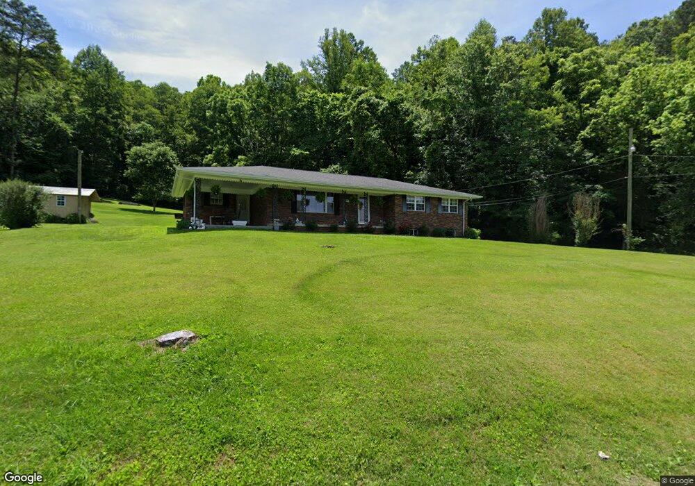
610 High Cliff Rd Jellico, TN 37762
Estimated Value: $97,000 - $202,000
--
Bed
1
Bath
1,651
Sq Ft
$105/Sq Ft
Est. Value
About This Home
This home is located at 610 High Cliff Rd, Jellico, TN 37762 and is currently estimated at $173,958, approximately $105 per square foot. 610 High Cliff Rd is a home located in Campbell County.
Ownership History
Date
Name
Owned For
Owner Type
Purchase Details
Closed on
Mar 16, 2023
Sold by
Reynolds John B
Bought by
Reynolds John B and Reynolds Betty H
Current Estimated Value
Purchase Details
Closed on
Jun 23, 2012
Bought by
Windle Houston E
Purchase Details
Closed on
Feb 3, 2004
Bought by
Hatmaker Paul
Purchase Details
Closed on
May 21, 2003
Bought by
Windle Houston E and Windle Lana
Purchase Details
Closed on
Jun 25, 2002
Bought by
Cumberland Timber Co Llc
Purchase Details
Closed on
Jun 21, 1990
Bought by
Beazer East Inc
Purchase Details
Closed on
Jan 1, 1954
Bought by
Reynolds John
Create a Home Valuation Report for This Property
The Home Valuation Report is an in-depth analysis detailing your home's value as well as a comparison with similar homes in the area
Home Values in the Area
Average Home Value in this Area
Purchase History
| Date | Buyer | Sale Price | Title Company |
|---|---|---|---|
| Reynolds John B | -- | -- | |
| Reynolds John B | -- | None Listed On Document | |
| Windle Houston E | -- | -- | |
| Hatmaker Paul | $200,000 | -- | |
| Windle Houston E | $1,000 | -- | |
| Cumberland Timber Co Llc | $500,000 | -- | |
| Beazer East Inc | -- | -- | |
| Reynolds John | -- | -- |
Source: Public Records
Tax History Compared to Growth
Tax History
| Year | Tax Paid | Tax Assessment Tax Assessment Total Assessment is a certain percentage of the fair market value that is determined by local assessors to be the total taxable value of land and additions on the property. | Land | Improvement |
|---|---|---|---|---|
| 2024 | $652 | $53,650 | $10,100 | $43,550 |
| 2023 | $428 | $20,725 | $2,500 | $18,225 |
| 2022 | $428 | $20,725 | $2,500 | $18,225 |
| 2021 | $428 | $20,725 | $2,500 | $18,225 |
| 2020 | $419 | $20,725 | $2,500 | $18,225 |
| 2019 | $428 | $20,725 | $2,500 | $18,225 |
| 2018 | $473 | $21,000 | $2,550 | $18,450 |
| 2017 | $473 | $21,000 | $2,550 | $18,450 |
| 2016 | $473 | $21,000 | $2,550 | $18,450 |
| 2015 | $418 | $21,000 | $2,550 | $18,450 |
| 2014 | -- | $21,000 | $2,550 | $18,450 |
| 2013 | -- | $21,000 | $2,550 | $18,450 |
Source: Public Records
Map
Nearby Homes
- 225 High Cliff Rd
- 985 Skaggs Branch Rd
- 215 High Cliff Ln
- 193 High Cliff Ln
- 425 High Cliff Rd
- 200 High Cliff Ln
- 453 High Cliff Rd
- 120 High Cliff Ln
- 120 High Cliff Ln
- 135 Doc Siler Rd
- 975 Skaggs Branch Rd
- 110 High Cliff Ln
- 208 Store Ln
- 371 High Cliff Rd
- 434 High Cliff Ln
- 941 Skaggs Branch Rd
- 140 Eve Ln
- 106 Store Ln
- 184 Eve Ln
- 795 Skaggs Branch Rd