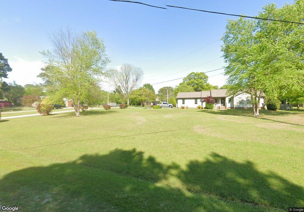
610 Junny Rd Angier, NC 27501
Estimated Value: $149,000 - $202,000
2
Beds
2
Baths
1,137
Sq Ft
$165/Sq Ft
Est. Value
About This Home
This home is located at 610 Junny Rd, Angier, NC 27501 and is currently estimated at $187,273, approximately $164 per square foot. 610 Junny Rd is a home located in Harnett County with nearby schools including Angier Elementary School, North Harnett Primary School, and Orland Colony Elementary School.
Ownership History
Date
Name
Owned For
Owner Type
Purchase Details
Closed on
Feb 21, 2011
Sold by
Podhany John D and Langley Carolyn R
Bought by
Montague Development Llc and Fannie Mae
Current Estimated Value
Purchase Details
Closed on
May 14, 2008
Sold by
Parsons Bonita O
Bought by
Podhany John and Langley Carolyn
Home Financials for this Owner
Home Financials are based on the most recent Mortgage that was taken out on this home.
Original Mortgage
$106,700
Interest Rate
5.86%
Mortgage Type
Purchase Money Mortgage
Purchase Details
Closed on
Sep 27, 2007
Sold by
Pope Randel A and Pope Kristen N
Bought by
Parsons Bonnie and Parsons Bonita Owen
Create a Home Valuation Report for This Property
The Home Valuation Report is an in-depth analysis detailing your home's value as well as a comparison with similar homes in the area
Home Values in the Area
Average Home Value in this Area
Purchase History
| Date | Buyer | Sale Price | Title Company |
|---|---|---|---|
| Montague Development Llc | $99,480 | None Available | |
| Podhany John | $110,000 | -- | |
| Parsons Bonnie | -- | None Available |
Source: Public Records
Mortgage History
| Date | Status | Borrower | Loan Amount |
|---|---|---|---|
| Previous Owner | Podhany John | $106,700 |
Source: Public Records
Tax History Compared to Growth
Tax History
| Year | Tax Paid | Tax Assessment Tax Assessment Total Assessment is a certain percentage of the fair market value that is determined by local assessors to be the total taxable value of land and additions on the property. | Land | Improvement |
|---|---|---|---|---|
| 2025 | $947 | $127,533 | $0 | $0 |
| 2024 | $947 | $127,533 | $0 | $0 |
| 2023 | $934 | $127,533 | $0 | $0 |
| 2022 | $625 | $127,533 | $0 | $0 |
| 2021 | $625 | $65,860 | $0 | $0 |
| 2020 | $625 | $65,860 | $0 | $0 |
| 2019 | $610 | $65,860 | $0 | $0 |
| 2018 | $610 | $65,860 | $0 | $0 |
| 2017 | $610 | $65,860 | $0 | $0 |
| 2016 | $515 | $54,270 | $0 | $0 |
| 2015 | -- | $54,270 | $0 | $0 |
| 2014 | -- | $54,270 | $0 | $0 |
Source: Public Records
Map
Nearby Homes
- 44 Charlie Cir
- 38 Charlie Cir
- 34 Charlie Cir
- 161 Whetstone Dr
- 42 Charlie Cir
- 46 Charlie Cir
- Stella Plan at Camden Place
- Sage Plan at Camden Place - Camden Townes
- Harper Plan at Camden Place
- Magnolia Plan at Camden Place - Camden Townes
- Quincy Plan at Camden Place
- 95 Arbor Loop
- 215 Blue Butterfly Dr
- 88 Arbor Loop
- 258 Blue Butterfly Dr
- 207 Blue Butterfly Dr
- 242 Blue Butterfly Dr
- 199 Blue Butterfly Dr
- 228 Hank Way
- 250 Blue Butterfly Dr