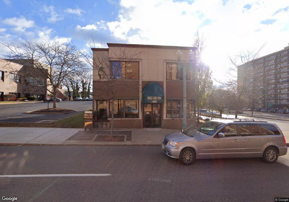
610 Market Ave N Canton, OH 44702
Downtown Canton NeighborhoodEstimated Value: $274,725
--
Bed
--
Bath
3,408
Sq Ft
$81/Sq Ft
Est. Value
About This Home
This home is located at 610 Market Ave N, Canton, OH 44702 and is currently estimated at $274,725, approximately $80 per square foot. 610 Market Ave N is a home located in Stark County with nearby schools including Early Learning Center @ Schreiber, Gibbs Elementary School, and Youtz Intermediate School.
Ownership History
Date
Name
Owned For
Owner Type
Purchase Details
Closed on
Feb 24, 2022
Sold by
Hall Family Trust
Bought by
Investart Ltd
Current Estimated Value
Purchase Details
Closed on
May 15, 2001
Sold by
Hall Charles D and Hall Rosemarie A
Bought by
Hall Rosemarie A and Hall Family Trust
Purchase Details
Closed on
Mar 31, 1998
Sold by
Mason Jonathan P
Bought by
Hall Charles D Rosemarie A
Home Financials for this Owner
Home Financials are based on the most recent Mortgage that was taken out on this home.
Original Mortgage
$130,000
Interest Rate
7.15%
Mortgage Type
Commercial
Create a Home Valuation Report for This Property
The Home Valuation Report is an in-depth analysis detailing your home's value as well as a comparison with similar homes in the area
Home Values in the Area
Average Home Value in this Area
Purchase History
| Date | Buyer | Sale Price | Title Company |
|---|---|---|---|
| Investart Ltd | -- | None Listed On Document | |
| Hall Rosemarie A | -- | -- | |
| Hall Charles D Rosemarie A | $140,000 | -- |
Source: Public Records
Mortgage History
| Date | Status | Borrower | Loan Amount |
|---|---|---|---|
| Previous Owner | Hall Charles D Rosemarie A | $130,000 |
Source: Public Records
Tax History Compared to Growth
Tax History
| Year | Tax Paid | Tax Assessment Tax Assessment Total Assessment is a certain percentage of the fair market value that is determined by local assessors to be the total taxable value of land and additions on the property. | Land | Improvement |
|---|---|---|---|---|
| 2025 | -- | $74,450 | $5,250 | $69,200 |
| 2024 | -- | $74,450 | $5,250 | $69,200 |
| 2023 | $5,174 | $62,620 | $14,210 | $48,410 |
| 2022 | $2,376 | $62,620 | $14,210 | $48,410 |
| 2021 | $3,903 | $48,380 | $13,550 | $34,830 |
| 2020 | $3,428 | $46,100 | $12,920 | $33,180 |
| 2018 | $3,617 | $46,100 | $12,920 | $33,180 |
| 2017 | $2,868 | $30,560 | $7,840 | $22,720 |
| 2016 | $2,892 | $30,560 | $7,840 | $22,720 |
Source: Public Records
Map
Nearby Homes
- 722 High Ave NW
- 905 High Ave NW
- 1005 Dewalt Ave NW
- 1007 Dewalt Ave NW
- 916 6th St NW
- 806 Troy Place NW
- 1120 6th St NE
- 1015 4th St NW
- 1226 Logan Ave NW
- 1024 3rd St NW
- 1224 Cleveland Ave NW
- 413 Newton Ave NW
- 0 3rd St SE Unit 5132035
- 1227 Worley Ave NW
- 1328 Logan Ave NW
- 1231 Worley Ave NW
- 1332 Spring Ave NE
- 1427 4th St NE
- 1376 Cherry Ave NE
- 1221 9th St NW
- 624 Market Ave N
- 137 6th St NE
- 575 Market Ave N
- 529 Market Ave N
- 205 6th St NW
- 238 6th St NE
- 439 Market Ave N
- 430 Market Ave N
- 616 Walnut Ave NE
- 702 Walnut Ave NE
- 0 Walnut Ave NE Unit 1507493
- 606 Walnut Ave NE
- 415 Market Ave N
- 622 Walnut Ave NE
- 401 4th St NW
- 324 6th St NE
- 701 Rex Ave NE
- 403 6th St NE
- 730 Walnut Ave NE
- 318 6th St NW