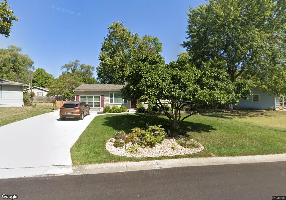
610 NW Carroll Dr Lees Summit, MO 64063
Estimated Value: $256,589 - $268,000
3
Beds
2
Baths
1,152
Sq Ft
$228/Sq Ft
Est. Value
About This Home
This home is located at 610 NW Carroll Dr, Lees Summit, MO 64063 and is currently estimated at $262,397, approximately $227 per square foot. 610 NW Carroll Dr is a home located in Jackson County with nearby schools including Bernard C. Campbell Middle School, Westview Elementary School, and Lee's Summit North High School.
Ownership History
Date
Name
Owned For
Owner Type
Purchase Details
Closed on
Nov 13, 2018
Sold by
Maxon Richard W
Bought by
Maxon Greg S and Maxon Gregory S
Current Estimated Value
Home Financials for this Owner
Home Financials are based on the most recent Mortgage that was taken out on this home.
Original Mortgage
$108,650
Interest Rate
4.1%
Mortgage Type
New Conventional
Purchase Details
Closed on
Jul 15, 2009
Sold by
Maxon Ronald E and Maxon Elizabeth L
Bought by
Maxon Ronald E and Maxon Elizabeth L
Create a Home Valuation Report for This Property
The Home Valuation Report is an in-depth analysis detailing your home's value as well as a comparison with similar homes in the area
Home Values in the Area
Average Home Value in this Area
Purchase History
| Date | Buyer | Sale Price | Title Company |
|---|---|---|---|
| Maxon Greg S | -- | Continental Title | |
| Maxon Ronald E | -- | None Available |
Source: Public Records
Mortgage History
| Date | Status | Borrower | Loan Amount |
|---|---|---|---|
| Closed | Maxon Greg S | $108,650 |
Source: Public Records
Tax History Compared to Growth
Tax History
| Year | Tax Paid | Tax Assessment Tax Assessment Total Assessment is a certain percentage of the fair market value that is determined by local assessors to be the total taxable value of land and additions on the property. | Land | Improvement |
|---|---|---|---|---|
| 2025 | $2,806 | $32,163 | $8,240 | $23,923 |
| 2024 | $2,785 | $38,855 | $6,688 | $32,167 |
| 2023 | $2,785 | $38,855 | $4,625 | $34,230 |
| 2022 | $1,963 | $24,320 | $4,750 | $19,570 |
| 2021 | $2,004 | $24,320 | $4,750 | $19,570 |
| 2020 | $1,924 | $23,123 | $4,750 | $18,373 |
| 2019 | $1,871 | $23,123 | $4,750 | $18,373 |
| 2018 | $1,911 | $21,917 | $4,359 | $17,558 |
| 2017 | $1,911 | $21,917 | $4,359 | $17,558 |
| 2016 | $1,920 | $21,793 | $3,762 | $18,031 |
| 2014 | $1,866 | $20,756 | $3,513 | $17,243 |
Source: Public Records
Map
Nearby Homes
- 624 NW Village Dr
- 614 NW Fair Ln
- 505 NW Watson Rd
- 407 NW Lincolnwood Dr
- 1410 SW Highway Ln
- 1003 NW Maple St
- 106 SW Donovan Rd
- 205-207 NW Orchard Ct
- 207 NW Orchard St
- 205 NW Orchard St
- 27002 NW Olive St
- 27001 NW Olive St
- 128 SW Hillcrest Ln
- 109 SW Pinnell Dr
- 134 SW Robin Rd
- 1416 SW 3rd St
- 2055 NW O'Brien Rd
- 514 NW Main St
- 508 NW Main St
- The Wydnham II Plan at Reserve at Woodside Ridge - Reserve
- 612 NW Carroll Dr
- 609 NW Carroll Dr
- 611 NW Carroll Dr
- 607 NW Carroll Dr
- 611 NW Village Dr
- 602 NW Kay Dr
- 608 NW Village Dr
- 606 NW Village Dr
- 605 NW Carroll Dr
- 604 NW Carroll Dr
- 603 NW Village Dr
- 604 NW Kay Dr
- 604 NW Village Dr
- 612 NW Village Dr
- 603 NW Fair Ln
- 613 NW Village Dr
- 603 NW Kay Dr
- 603 NW Carroll Dr
- 606 NW Kay Dr
- 614 NW Village Dr