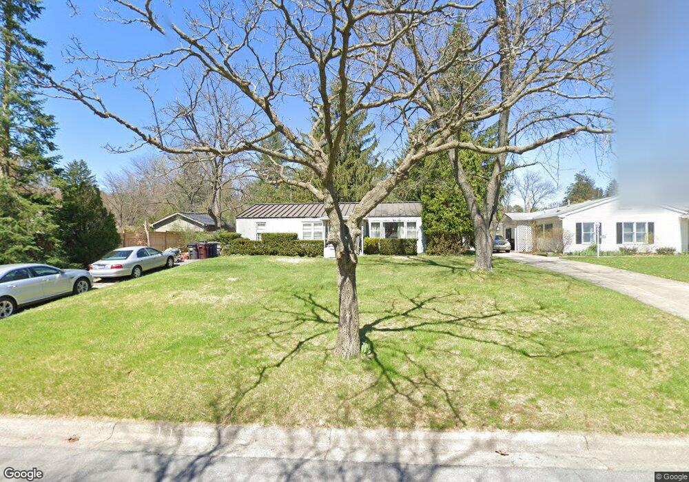
610 Robin Rd Ann Arbor, MI 48103
Water Hill NeighborhoodEstimated Value: $386,971 - $515,000
3
Beds
1
Bath
1,376
Sq Ft
$331/Sq Ft
Est. Value
About This Home
This home is located at 610 Robin Rd, Ann Arbor, MI 48103 and is currently estimated at $455,493, approximately $331 per square foot. 610 Robin Rd is a home located in Washtenaw County with nearby schools including Wines Elementary School, Forsythe Middle School, and Skyline High School.
Ownership History
Date
Name
Owned For
Owner Type
Purchase Details
Closed on
Oct 15, 2015
Sold by
Macmillan Susan K
Bought by
Mckay Kevin J
Current Estimated Value
Purchase Details
Closed on
Oct 14, 2015
Sold by
Mckay Betty J
Bought by
Mckay Kevin J
Purchase Details
Closed on
Apr 25, 1997
Sold by
Klausner Leopold H
Bought by
Mckay Kevin J and Macmillan Susan
Home Financials for this Owner
Home Financials are based on the most recent Mortgage that was taken out on this home.
Original Mortgage
$83,000
Interest Rate
7.92%
Mortgage Type
New Conventional
Create a Home Valuation Report for This Property
The Home Valuation Report is an in-depth analysis detailing your home's value as well as a comparison with similar homes in the area
Home Values in the Area
Average Home Value in this Area
Purchase History
| Date | Buyer | Sale Price | Title Company |
|---|---|---|---|
| Mckay Kevin J | -- | None Available | |
| Mckay Kevin J | -- | None Available | |
| Mckay Kevin J | $104,300 | -- |
Source: Public Records
Mortgage History
| Date | Status | Borrower | Loan Amount |
|---|---|---|---|
| Previous Owner | Mckay Kevin J | $83,000 |
Source: Public Records
Tax History
| Year | Tax Paid | Tax Assessment Tax Assessment Total Assessment is a certain percentage of the fair market value that is determined by local assessors to be the total taxable value of land and additions on the property. | Land | Improvement |
|---|---|---|---|---|
| 2025 | $4,668 | $176,100 | $0 | $0 |
| 2024 | $4,552 | $150,900 | $0 | $0 |
| 2023 | $4,198 | $148,400 | $0 | $0 |
| 2022 | $4,574 | $161,200 | $0 | $0 |
| 2021 | $4,466 | $156,800 | $0 | $0 |
| 2020 | $4,376 | $154,300 | $0 | $0 |
| 2019 | $4,165 | $138,900 | $138,900 | $0 |
| 2018 | $4,106 | $130,200 | $0 | $0 |
| 2017 | $3,994 | $128,400 | $0 | $0 |
| 2016 | $3,402 | $79,876 | $0 | $0 |
| 2015 | $3,670 | $79,638 | $0 | $0 |
| 2014 | $3,670 | $77,150 | $0 | $0 |
| 2013 | -- | $77,150 | $0 | $0 |
Source: Public Records
Map
Nearby Homes
- 601 Cressfield Ln
- 510 Hiscock St
- 215 W Summit St
- 209 Sunset Rd
- 207 Sunset Rd
- 1132 Longshore Dr Unit 2
- 201 W Summit St
- 118 W Summit St
- 408 Felch St
- 1322 Miller Ave
- 1106 Paul St
- 1043 Pine Tree Dr
- 210 W Kingsley St
- 651 N 5th Ave
- 510 Miller Ave
- 663 N 5th Ave Unit 8
- 410 N 1st St Unit 302
- 1212 Wines Dr
- 2176 Overlook Ct
- 2174 Overlook Ct Unit 326
Your Personal Tour Guide
Ask me questions while you tour the home.