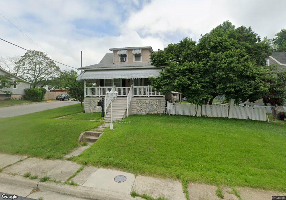
6100 Bertram Ave Baltimore, MD 21214
Westfield NeighborhoodEstimated Value: $265,771 - $271,000
Studio
1
Bath
1,152
Sq Ft
$233/Sq Ft
Est. Value
About This Home
This home is located at 6100 Bertram Ave, Baltimore, MD 21214 and is currently estimated at $268,386, approximately $232 per square foot. 6100 Bertram Ave is a home located in Baltimore City with nearby schools including Glenmount Elementary/Middle School, Booker T. Washington Middle School, and Paul Laurence Dunbar High School.
Ownership History
Date
Name
Owned For
Owner Type
Purchase Details
Closed on
Feb 26, 2007
Sold by
Thompson R & All
Bought by
Thompson Randall and Thompson Sandra
Current Estimated Value
Purchase Details
Closed on
Mar 15, 2006
Sold by
Thompson R & All
Bought by
Thompson Randall
Home Financials for this Owner
Home Financials are based on the most recent Mortgage that was taken out on this home.
Original Mortgage
$171,000
Interest Rate
8.42%
Mortgage Type
New Conventional
Purchase Details
Closed on
Jan 27, 2005
Sold by
Phillips Sherrie D
Bought by
Thompson Randall and Thompson Shirley
Purchase Details
Closed on
Sep 24, 1998
Sold by
Myron D Westfall Wf
Bought by
Phillips Sherrie D
Create a Home Valuation Report for This Property
The Home Valuation Report is an in-depth analysis detailing your home's value as well as a comparison with similar homes in the area
Home Values in the Area
Average Home Value in this Area
Purchase History
| Date | Buyer | Sale Price | Title Company |
|---|---|---|---|
| Thompson Randall | $110,250 | -- | |
| Thompson Randall | $67,572 | -- | |
| Thompson Randall | $137,000 | -- | |
| Phillips Sherrie D | $79,999 | -- |
Source: Public Records
Mortgage History
| Date | Status | Borrower | Loan Amount |
|---|---|---|---|
| Previous Owner | Thompson Randall | $171,000 |
Source: Public Records
Tax History
| Year | Tax Paid | Tax Assessment Tax Assessment Total Assessment is a certain percentage of the fair market value that is determined by local assessors to be the total taxable value of land and additions on the property. | Land | Improvement |
|---|---|---|---|---|
| 2025 | $3,297 | $158,167 | -- | -- |
| 2024 | $3,297 | $151,300 | $52,000 | $99,300 |
| 2023 | $3,205 | $147,733 | $0 | $0 |
| 2022 | $3,127 | $144,167 | $0 | $0 |
| 2021 | $3,318 | $140,600 | $52,000 | $88,600 |
| 2020 | $2,986 | $137,167 | $0 | $0 |
| 2019 | $2,891 | $133,733 | $0 | $0 |
| 2018 | $2,879 | $130,300 | $52,000 | $78,300 |
| 2017 | $2,904 | $130,300 | $0 | $0 |
| 2016 | $3,281 | $130,300 | $0 | $0 |
| 2015 | $3,281 | $132,600 | $0 | $0 |
| 2014 | $3,281 | $132,600 | $0 | $0 |
Source: Public Records
Map
Nearby Homes
- 6103 Glenoak Ave
- 6201 Carter Ave
- 6113 Sefton Ave
- 6015 Sefton Ave
- 3300 Westfield Ave
- 0 Royston Ave
- 5932 Bertram Ave
- 6303 Moyer Ave
- 5921 Burgess Ave
- 3043 Pinewood Ave
- 5900 Winthrope Ave
- 6008 Alta Ave
- 3018 Mary Ave
- 3714 Mayberry Ave Unit F
- 3714 Mayberry Ave Unit D
- 3302 E Northern Pkwy
- 6431 Walther Ave Unit A
- 6429 Walther Ave Unit F
- 3712 Mayberry Ave Unit A
- 3712 Mayberry Ave Unit C
- 6102 Bertram Ave
- 6014 Bertram Ave
- 6104 Bertram Ave
- 6101 Glenoak Ave
- 6105 Glenoak Ave
- 3400 Royston Ave
- 6012 Bertram Ave
- 6106 Bertram Ave
- 6107 Glenoak Ave
- 3401 Royston Ave
- 6015 Glenoak Ave
- 6109 Glenoak Ave
- 3402 Royston Ave
- 6108 Bertram Ave
- 3403 Royston Ave
- 6010 Bertram Ave
- 6210 Carter Ave
- 6013 Glenoak Ave
- 6111 Glenoak Ave
- 3404 Royston Ave
Your Personal Tour Guide
Ask me questions while you tour the home.