6100 Burnside Rd Sebastopol, CA 95472
Estimated Value: $1,795,000 - $2,173,000
3
Beds
2
Baths
3,014
Sq Ft
$659/Sq Ft
Est. Value
About This Home
This home is located at 6100 Burnside Rd, Sebastopol, CA 95472 and is currently estimated at $1,985,419, approximately $658 per square foot. 6100 Burnside Rd is a home located in Sonoma County with nearby schools including Apple Blossom School, Analy High School, and Twin Hills Charter Middle School.
Ownership History
Date
Name
Owned For
Owner Type
Purchase Details
Closed on
Sep 28, 2009
Sold by
Taylor Robert B and Wathen Valerie A
Bought by
Taylor Robert B
Current Estimated Value
Purchase Details
Closed on
Mar 21, 2008
Sold by
Conklin Posie Joyce
Bought by
Conklin Posie Joyce
Purchase Details
Closed on
May 28, 1996
Sold by
Kruse William A
Bought by
The William A Kruse Living Trust
Purchase Details
Closed on
Dec 28, 1989
Sold by
Kruse Denise
Bought by
Kruse William and Kruse William A
Create a Home Valuation Report for This Property
The Home Valuation Report is an in-depth analysis detailing your home's value as well as a comparison with similar homes in the area
Purchase History
| Date | Buyer | Sale Price | Title Company |
|---|---|---|---|
| Taylor Robert B | -- | Fidelity National Title Co | |
| Taylor Robert B | $980,000 | Fidelity National Title Co | |
| Conklin Posie Joyce | -- | None Available | |
| The William A Kruse Living Trust | -- | -- | |
| The William A Kruse Living Trust | -- | -- | |
| Kruse William | -- | -- |
Source: Public Records
Tax History
| Year | Tax Paid | Tax Assessment Tax Assessment Total Assessment is a certain percentage of the fair market value that is determined by local assessors to be the total taxable value of land and additions on the property. | Land | Improvement |
|---|---|---|---|---|
| 2025 | $15,256 | $1,338,994 | $578,283 | $760,711 |
| 2024 | $15,256 | $1,312,741 | $566,945 | $745,796 |
| 2023 | $15,256 | $1,287,002 | $555,829 | $731,173 |
| 2022 | $14,477 | $1,261,768 | $544,931 | $716,837 |
| 2021 | $14,167 | $1,237,029 | $534,247 | $702,782 |
| 2020 | $14,183 | $1,224,345 | $528,769 | $695,576 |
| 2019 | $13,718 | $1,200,339 | $518,401 | $681,938 |
| 2018 | $13,489 | $1,176,804 | $508,237 | $668,567 |
| 2017 | $12,885 | $1,153,730 | $498,272 | $655,458 |
| 2016 | $12,680 | $1,131,108 | $488,502 | $642,606 |
| 2015 | $12,252 | $1,114,119 | $481,165 | $632,954 |
| 2014 | $11,999 | $1,092,296 | $471,740 | $620,556 |
Source: Public Records
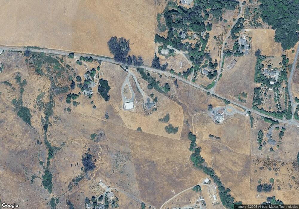
Map
Nearby Homes
- 3370 Pharoahs Ln
- 3545 Bloomfield Rd
- 2485 Sanders Rd
- 10966 Barnett Valley Rd
- 3590 Burnside Rd
- 6363 Pond Hollow Rd
- 8061 Elphick Rd
- 1430 Santa Maria Way
- 447 Sparkes Rd
- 1417 Deer Ln
- 1120 W Sexton Rd
- 870 Gold Ridge Rd
- 5563 Mcfarlane Rd
- 41 Sparkes Rd Unit 8
- 459 Gold Ridge Rd
- 789 Pleasant Hill Rd
- 5070 Blank Rd
- 1171 Gravenstein Hwy S
- 6820 Redwood Ave Unit 63
- 1853 Cooper Rd
- 6103 Burnside Rd
- 6000 Burnside Rd
- 6255 Burnside Rd
- 6107 Burnside Rd
- 3600 Pharoahs Ln
- 4700 Bloomfield Rd
- 3377 Pharoahs Ln
- 6323 Burnside Rd
- 6320 Burnside Rd
- 3500 Pharoahs Ln
- 5700 Burnside Rd
- 3350 Pharoahs Ln
- 3435 Pharoahs Ln
- 3360 Pharoahs Ln
- 6425 Lovmark Way
- 3311 Pharoahs Ln
- 6500 Burnside Rd
- 107 Lovmark Way
- 6370 Bloomfield Rd
- 3230 Pharoahs Ln
Your Personal Tour Guide
Ask me questions while you tour the home.