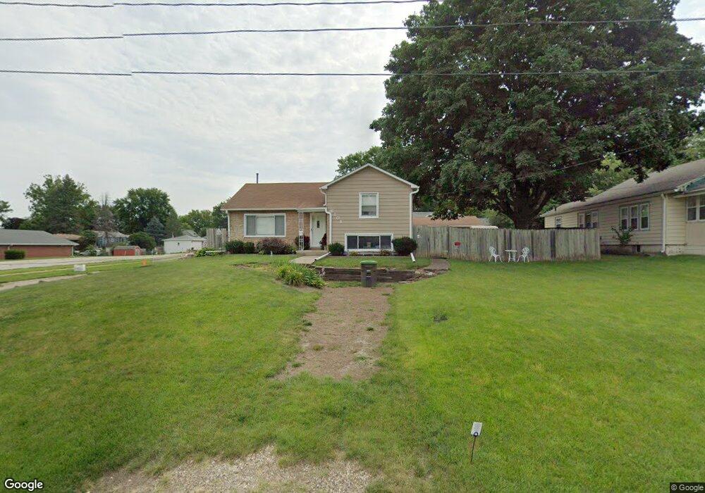
6101 SW 12th St Des Moines, IA 50315
Watrous South NeighborhoodEstimated Value: $198,000 - $221,000
3
Beds
1
Bath
1,030
Sq Ft
$204/Sq Ft
Est. Value
About This Home
This home is located at 6101 SW 12th St, Des Moines, IA 50315 and is currently estimated at $210,330, approximately $204 per square foot. 6101 SW 12th St is a home located in Polk County with nearby schools including Morris Elementary School, Mccombs Middle School, and Lincoln High School.
Ownership History
Date
Name
Owned For
Owner Type
Purchase Details
Closed on
Aug 24, 1998
Sold by
Jones Dennis K and Jones Mary Ann
Bought by
Chapman Lisa M
Current Estimated Value
Home Financials for this Owner
Home Financials are based on the most recent Mortgage that was taken out on this home.
Original Mortgage
$65,000
Outstanding Balance
$13,690
Interest Rate
7.03%
Estimated Equity
$196,640
Create a Home Valuation Report for This Property
The Home Valuation Report is an in-depth analysis detailing your home's value as well as a comparison with similar homes in the area
Home Values in the Area
Average Home Value in this Area
Purchase History
| Date | Buyer | Sale Price | Title Company |
|---|---|---|---|
| Chapman Lisa M | $88,000 | -- |
Source: Public Records
Mortgage History
| Date | Status | Borrower | Loan Amount |
|---|---|---|---|
| Open | Chapman Lisa M | $65,000 |
Source: Public Records
Tax History Compared to Growth
Tax History
| Year | Tax Paid | Tax Assessment Tax Assessment Total Assessment is a certain percentage of the fair market value that is determined by local assessors to be the total taxable value of land and additions on the property. | Land | Improvement |
|---|---|---|---|---|
| 2025 | $3,392 | $204,800 | $38,400 | $166,400 |
| 2024 | $3,392 | $182,900 | $33,700 | $149,200 |
| 2023 | $3,344 | $182,900 | $33,700 | $149,200 |
| 2022 | $3,318 | $150,800 | $28,800 | $122,000 |
| 2021 | $3,196 | $150,800 | $28,800 | $122,000 |
| 2020 | $3,316 | $136,700 | $26,000 | $110,700 |
| 2019 | $3,088 | $136,700 | $26,000 | $110,700 |
| 2018 | $3,050 | $123,400 | $22,900 | $100,500 |
| 2017 | $2,858 | $123,400 | $22,900 | $100,500 |
| 2016 | $2,780 | $114,200 | $20,800 | $93,400 |
| 2015 | $2,780 | $114,200 | $20,800 | $93,400 |
| 2014 | $2,488 | $106,100 | $19,100 | $87,000 |
Source: Public Records
Map
Nearby Homes
- 6205 SW 12th St
- 1214 Leland Ave
- 1210 Highview Dr
- 1010 Frederick Ave
- 1310 Leland Ave
- 6001 SW 13th Place
- 6107 SW 14th St
- 1225 West St
- 1304 Wall Ave
- 1419 Payton Ave
- 1161 Bundy St
- 1500 Leland Ave
- 1029 Bundy St
- 1313 Burnham Ave
- 1207 Kenyon Ave
- 1115 Rittenhouse St
- 5407 SW 9th St
- 1401 Cutler Ave
- 1616 Southlawn Dr
- 5812 SW 5th St
- 6103 SW 12th St
- 1100 Randolph St
- 1110 Randolph St
- 1107 Leland Ave
- 1111 Leland Ave
- 6104 SW 12th St
- 6110 SW 12th St
- 6016 SW 12th St
- 1201 Leland Ave
- 1101 Randolph St
- 1015 Leland Ave
- 1050 Randolph St
- 1025 Randolph St
- 1203 Leland Ave
- 6006 SW 12th St
- 1205 Randolph St
- 1013 Leland Ave
- 1210 Randolph St
- 1100 Payton Ave
- 1020 Randolph St