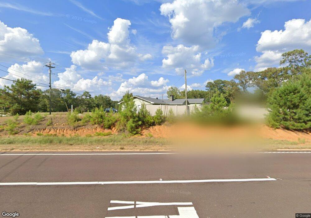
6102 Enterprise Rd McComb, MS 39648
Estimated Value: $183,000 - $209,000
--
Bed
--
Bath
2,057
Sq Ft
$95/Sq Ft
Est. Value
About This Home
This home is located at 6102 Enterprise Rd, McComb, MS 39648 and is currently estimated at $194,910, approximately $94 per square foot. 6102 Enterprise Rd is a home with nearby schools including Otken Elementary School, Higgins Middle School, and Denman Junior High School.
Ownership History
Date
Name
Owned For
Owner Type
Purchase Details
Closed on
Jul 26, 2011
Sold by
White Danny A
Bought by
Fernandez Willie J and Fernandez Althais V
Current Estimated Value
Purchase Details
Closed on
May 5, 2006
Sold by
Fisher Bobby Allen and Fisher Barbara J
Bought by
Patterson Johnnie B
Home Financials for this Owner
Home Financials are based on the most recent Mortgage that was taken out on this home.
Original Mortgage
$109,352
Interest Rate
6.28%
Mortgage Type
Purchase Money Mortgage
Create a Home Valuation Report for This Property
The Home Valuation Report is an in-depth analysis detailing your home's value as well as a comparison with similar homes in the area
Home Values in the Area
Average Home Value in this Area
Purchase History
| Date | Buyer | Sale Price | Title Company |
|---|---|---|---|
| Fernandez Willie J | -- | None Available | |
| Patterson Johnnie B | -- | None Available |
Source: Public Records
Mortgage History
| Date | Status | Borrower | Loan Amount |
|---|---|---|---|
| Previous Owner | Patterson Johnnie B | $109,352 |
Source: Public Records
Tax History Compared to Growth
Tax History
| Year | Tax Paid | Tax Assessment Tax Assessment Total Assessment is a certain percentage of the fair market value that is determined by local assessors to be the total taxable value of land and additions on the property. | Land | Improvement |
|---|---|---|---|---|
| 2025 | $1,808 | $14,110 | $0 | $0 |
| 2024 | $1,808 | $11,804 | $0 | $0 |
| 2023 | $1,784 | $11,804 | $0 | $0 |
| 2022 | $1,688 | $11,422 | $0 | $0 |
| 2021 | $1,682 | $11,422 | $0 | $0 |
| 2020 | $1,704 | $11,541 | $0 | $0 |
| 2019 | $1,616 | $11,541 | $0 | $0 |
| 2018 | $1,538 | $11,404 | $0 | $0 |
| 2017 | $1,549 | $11,404 | $0 | $0 |
| 2016 | $1,535 | $11,404 | $0 | $0 |
| 2015 | -- | $11,076 | $0 | $0 |
| 2014 | -- | $11,051 | $0 | $0 |
| 2013 | -- | $11,051 | $0 | $0 |
Source: Public Records
Map
Nearby Homes
- 0 Paige Dr
- 3000 Delaware Ave
- 2700 Seminole Dr
- 0 Delaware
- 306 Cherokee Dr
- TBD Mississippi 570
- 2194 Mississippi 570
- No Caston Rd
- TBD Natchez Dr
- 501A Commanche Dr
- 138 Woodland Ridge Dr
- 000 Pike Point Place
- 0000 Mississippi 570
- 4164 Magnolia Pisgah Rd
- 1623 Christine Dr
- 1020 Perry Ln
- 1600 Christine Dr
- TDB Delaware Ave
- 912 Laird St
- 000 Rawls & White St
- 6112 Enterprise Rd
- 6110 Enterprise Rd
- 6102 Enterprise Rd
- 1070 Howell Dr
- 6113 Enterprise Rd
- 2282 Veterans Blvd
- 6121 Enterprise Rd
- 1024 Howell Dr
- 1062 Ho
- 1060 Howell Dr
- 2278 Veterans Blvd
- 1020 Howell Dr
- 6053 Enterprise Rd
- 2272 Veterans Blvd
- 1014 Howell Dr
- 0 Howell Dr
- 0 Cor Paige & Howell Dr Unit 105044
- xxxx Hwy 570 We St
- 1027 Howell Dr
- 1051 Howell Dr