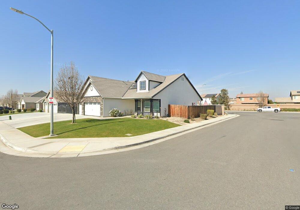
6102 Maine Ave Bakersfield, CA 93313
Panama NeighborhoodEstimated Value: $438,000 - $494,000
3
Beds
2
Baths
2,154
Sq Ft
$213/Sq Ft
Est. Value
About This Home
This home is located at 6102 Maine Ave, Bakersfield, CA 93313 and is currently estimated at $459,311, approximately $213 per square foot. 6102 Maine Ave is a home with nearby schools including Bill L. Williams Elementary School, Stonecreek Junior High School, and Ridgeview High School.
Ownership History
Date
Name
Owned For
Owner Type
Purchase Details
Closed on
Apr 9, 2015
Sold by
Lennar Fresno Inc
Bought by
Browning Jean P
Current Estimated Value
Home Financials for this Owner
Home Financials are based on the most recent Mortgage that was taken out on this home.
Original Mortgage
$315,261
Interest Rate
3.64%
Mortgage Type
New Conventional
Create a Home Valuation Report for This Property
The Home Valuation Report is an in-depth analysis detailing your home's value as well as a comparison with similar homes in the area
Home Values in the Area
Average Home Value in this Area
Purchase History
| Date | Buyer | Sale Price | Title Company |
|---|---|---|---|
| Browning Jean P | $305,500 | North American Title Company |
Source: Public Records
Mortgage History
| Date | Status | Borrower | Loan Amount |
|---|---|---|---|
| Previous Owner | Browning Jean P | $315,261 |
Source: Public Records
Tax History Compared to Growth
Tax History
| Year | Tax Paid | Tax Assessment Tax Assessment Total Assessment is a certain percentage of the fair market value that is determined by local assessors to be the total taxable value of land and additions on the property. | Land | Improvement |
|---|---|---|---|---|
| 2025 | $5,007 | $366,555 | $60,089 | $306,466 |
| 2024 | $4,921 | $359,368 | $58,911 | $300,457 |
| 2023 | $4,921 | $352,322 | $57,756 | $294,566 |
| 2022 | $4,723 | $345,415 | $56,624 | $288,791 |
| 2021 | $4,588 | $338,643 | $55,514 | $283,129 |
| 2020 | $4,527 | $335,171 | $54,945 | $280,226 |
| 2019 | $4,468 | $335,171 | $54,945 | $280,226 |
| 2018 | $4,273 | $322,158 | $52,812 | $269,346 |
| 2017 | $4,195 | $315,842 | $51,777 | $264,065 |
| 2016 | $4,009 | $309,650 | $50,762 | $258,888 |
Source: Public Records
Map
Nearby Homes
- 6009 Moonstone Peak Dr
- 6040 Samuelson St
- 5815 Pearl Ridge Dr
- 6310 Thorton Ave
- 6225 Thorton Ave
- 6115 Cape Cod Ave
- 8505 Marble Ridge Way
- 6201 Cape Cod Ave
- 9301 Cobble Mountain Rd
- 5407 Red Wheat Ave
- 9003 Great Harvest Dr
- 9402 Cobble Mountain Rd
- 9623 Kanosh Cobble Dr
- 5518 Coburn Ridge Ct
- 5400 Saddleback Ridge Ct
- 6230 Taft Hwy
- 6028 Bogart Dr
- 6021 Bogart Dr
- 5808 Esmerelda Ave
- 6003 Vespucci Ave
- 6108 Maine Ave
- 6006 Maine Ave
- 6114 Maine Ave
- 6101 Maine Ave
- 6107 Maine Ave
- 6009 Maine Ave
- 6000 Maine Ave
- 6015 Pearl Ridge Dr
- 6120 Maine Ave
- 6113 Maine Ave
- 6011 Pearl Ridge Dr
- 6019 Pearl Ridge Dr
- 6007 Pearl Ridge Dr
- 6003 Maine Ave
- 6023 Pearl Ridge Dr
- 6003 Pearl Ridge Dr
- 6119 Maine Ave
- 5910 Maine Ave
- 6124 Maine Ave
- 6027 Pearl Ridge Dr