Estimated Value: $570,000
Studio
--
Bath
13,300
Sq Ft
$43/Sq Ft
Est. Value
About This Home
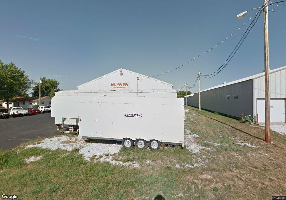
This home is located at 6103 N 23rd St, Ozark, MO 65721 and is currently estimated at $570,000, approximately $42 per square foot. 6103 N 23rd St is a home located in Christian County with nearby schools including West Elementary School, Ozark Middle School, and Ozark Junior High School.
Ownership History
Date
Name
Owned For
Owner Type
Purchase Details
Closed on
Jan 27, 2020
Sold by
Willard Charles L
Bought by
Willard Charles L and Charles L Willard Revocable Trust
Current Estimated Value
Purchase Details
Closed on
Mar 29, 2018
Sold by
Tipton Lester A
Bought by
Willard Charles L
Purchase Details
Closed on
Aug 1, 2016
Sold by
Tipton Melody Ann Chastain
Bought by
Tipton Lester Alan
Purchase Details
Closed on
Jan 14, 2013
Sold by
Mid State Land & Development Company Llc
Bought by
Jb Leasing Company Llc
Create a Home Valuation Report for This Property
The Home Valuation Report is an in-depth analysis detailing your home's value as well as a comparison with similar homes in the area
Home Values in the Area
Average Home Value in this Area
Purchase History
| Date | Buyer | Sale Price | Title Company |
|---|---|---|---|
| Willard Charles L | -- | None Available | |
| Willard Charles L | -- | Titan Title & Closing Llc | |
| Willard Charles L | -- | Titan Title & Closing Llc | |
| Tipton Lester Alan | -- | None Available | |
| Jb Leasing Company Llc | -- | Choice Escrow And Land Title |
Source: Public Records
Tax History
| Year | Tax Paid | Tax Assessment Tax Assessment Total Assessment is a certain percentage of the fair market value that is determined by local assessors to be the total taxable value of land and additions on the property. | Land | Improvement |
|---|---|---|---|---|
| 2025 | $7,182 | $113,500 | -- | -- |
| 2024 | $7,173 | $113,500 | -- | -- |
| 2023 | $7,173 | $113,500 | $0 | $0 |
| 2022 | $6,532 | $103,200 | $0 | $0 |
| 2021 | $6,326 | $103,200 | $0 | $0 |
| 2020 | $6,243 | $103,200 | $0 | $0 |
| 2019 | $6,243 | $103,200 | $0 | $0 |
| 2018 | $6,211 | $103,360 | $0 | $0 |
| 2017 | $6,211 | $103,360 | $0 | $0 |
| 2016 | $6,112 | $103,360 | $0 | $0 |
| 2015 | -- | $103,360 | $103,360 | $0 |
| 2014 | $6,040 | $103,360 | $0 | $0 |
| 2013 | $36 | $103,360 | $0 | $0 |
| 2011 | $36 | $129,600 | $0 | $0 |
Source: Public Records
Map
Nearby Homes
- 1099 N Farmer Branch Rd
- 2488 W State Highway Cc
- 5350 N 22nd St
- 4725 Florence Ave
- 6016 Copper Ridge St
- 4608 Venice Ave
- 3102 Winged Foot Dr
- 4483 Siena Ave
- 4334 Rome Ave
- 3318 Winged Foot Dr
- 4419 Madrid Ave
- 4501 N 16th St
- 4105 N Thistle Dr
- 4269 Madrid Ave
- 2504 W Chris Ct
- 4401 N 16th St
- 2497 E Farm Road 194
- 936 W Turnberry Blvd
- 4107 N 30th St
- 2701 W Garton Rd
- 6101 N 23rd St
- 6003 N 23rd St
- 0 Deerbrook Industrial Unit 10920507
- 0 Deerbrook Industrial Unit 10822046
- 0 Deerbrook Industrial Unit 10822045
- 0 Deerbrook Industrial Unit 10908645
- 0 Deerbrook Industrial Unit 10908644
- 0 Deerbrook Industrial Unit 11012819
- 0 Deerbrook Industrial Unit 11012816
- 0 Deerbrook Industrial Unit 11012813
- 0 Deerbrook Industrial Unit 11012809
- 2298 Walk On Dr
- Tbd Walk On Dr
- 2500 Walk On Dr
- 000 Walk On Dr
- 6004 N 23rd St
- 6102 N 23rd St
- 0 25th Unit 10820734
- 0 25th Unit 10820733
- 0 25th Unit 10907967
Your Personal Tour Guide
Ask me questions while you tour the home.