Estimated Value: $1,057,000 - $1,318,000
3
Beds
3
Baths
2,472
Sq Ft
$484/Sq Ft
Est. Value
About This Home
This home is located at 61030 Ropp Ln, Bend, OR 97702 and is currently estimated at $1,196,798, approximately $484 per square foot. 61030 Ropp Ln is a home located in Deschutes County with nearby schools including Silver Rail Elementary School, High Desert Middle School, and Bend Senior High School.
Ownership History
Date
Name
Owned For
Owner Type
Purchase Details
Closed on
Apr 10, 2015
Sold by
Macleod Mark S and Macleod Tamara E
Bought by
Macleod Mark and Macleod Tamara
Current Estimated Value
Home Financials for this Owner
Home Financials are based on the most recent Mortgage that was taken out on this home.
Original Mortgage
$401,000
Interest Rate
3.7%
Mortgage Type
New Conventional
Create a Home Valuation Report for This Property
The Home Valuation Report is an in-depth analysis detailing your home's value as well as a comparison with similar homes in the area
Purchase History
| Date | Buyer | Sale Price | Title Company |
|---|---|---|---|
| Macleod Mark | -- | Deschutes County Title Co |
Source: Public Records
Mortgage History
| Date | Status | Borrower | Loan Amount |
|---|---|---|---|
| Closed | Macleod Mark | $401,000 |
Source: Public Records
Tax History
| Year | Tax Paid | Tax Assessment Tax Assessment Total Assessment is a certain percentage of the fair market value that is determined by local assessors to be the total taxable value of land and additions on the property. | Land | Improvement |
|---|---|---|---|---|
| 2025 | $7,868 | $525,280 | -- | -- |
| 2024 | $7,528 | $509,990 | -- | -- |
| 2023 | $7,084 | $495,140 | $0 | $0 |
| 2022 | $6,532 | $466,720 | $0 | $0 |
| 2021 | $6,572 | $453,130 | $0 | $0 |
| 2020 | $6,205 | $453,130 | $0 | $0 |
| 2019 | $6,030 | $439,940 | $0 | $0 |
| 2018 | $5,854 | $427,130 | $0 | $0 |
| 2017 | $5,700 | $414,690 | $0 | $0 |
| 2016 | $5,415 | $402,620 | $0 | $0 |
| 2015 | $5,263 | $390,900 | $0 | $0 |
| 2014 | -- | $379,520 | $0 | $0 |
Source: Public Records
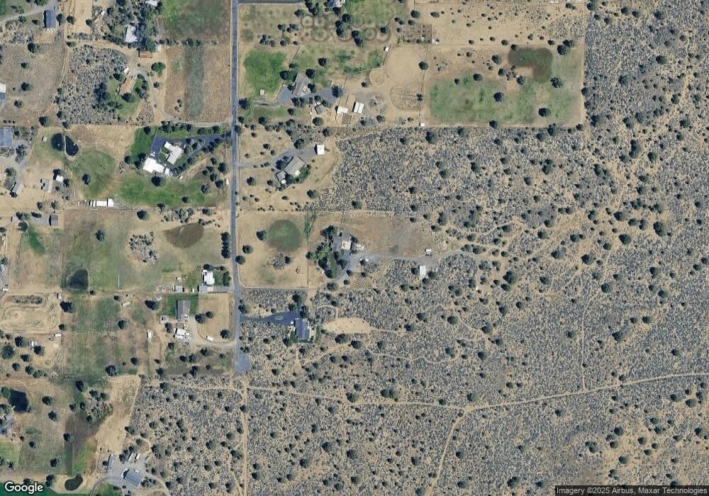
Map
Nearby Homes
- 22311 Mcardle Rd
- 61275 Lane Knolls Ct
- 21710 Mcgilvray Rd
- 61445 Gosney Rd
- 60360 Horse Butte Rd
- 60990 Jennings Rd
- 61747 Somerset Dr
- 60359 Arnold Market Rd
- 60780 Ward Rd
- 0 Highway 20 Unit 296721434
- 21309 SE Wilderness Way
- 21319 SE Wilderness Way
- 21311 SE Wilderness Way
- 21313 SE Wilderness Way
- 21315 SE Wilderness Way
- 60148 Stirling Dr
- 21653 SE Fuji Dr
- 21925 Bear Creek Rd
- 21824 SE Stromboli Ct Unit Lot 132
- 21848 SE Stromboli Ct Unit Lot 112
Your Personal Tour Guide
Ask me questions while you tour the home.