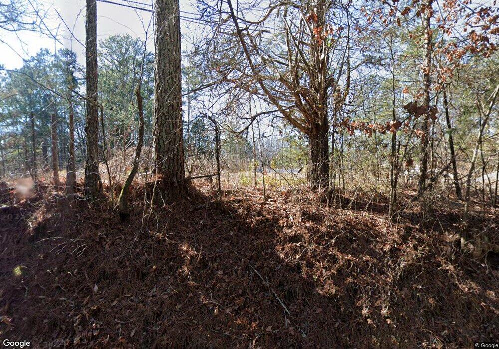
6104 Tallant Rd Mc Donald, TN 37353
Estimated Value: $462,000 - $537,414
--
Bed
--
Bath
1,791
Sq Ft
$274/Sq Ft
Est. Value
About This Home
This home is located at 6104 Tallant Rd, Mc Donald, TN 37353 and is currently estimated at $490,138, approximately $273 per square foot. 6104 Tallant Rd is a home located in Hamilton County with nearby schools including Ooltewah Elementary School, Ooltewah Middle School, and Ooltewah High School.
Ownership History
Date
Name
Owned For
Owner Type
Purchase Details
Closed on
Jul 21, 2016
Sold by
Fortner William T
Bought by
James Christopher W and James Alicia Elizabeth
Current Estimated Value
Home Financials for this Owner
Home Financials are based on the most recent Mortgage that was taken out on this home.
Original Mortgage
$180,000
Interest Rate
3.46%
Mortgage Type
New Conventional
Purchase Details
Closed on
Oct 23, 2002
Sold by
Fortner Patricia Ann
Bought by
Fortner William T
Create a Home Valuation Report for This Property
The Home Valuation Report is an in-depth analysis detailing your home's value as well as a comparison with similar homes in the area
Home Values in the Area
Average Home Value in this Area
Purchase History
| Date | Buyer | Sale Price | Title Company |
|---|---|---|---|
| James Christopher W | -- | Warranty Title Ins Co Inc | |
| Fortner William T | -- | -- |
Source: Public Records
Mortgage History
| Date | Status | Borrower | Loan Amount |
|---|---|---|---|
| Previous Owner | James Christopher W | $180,000 |
Source: Public Records
Tax History Compared to Growth
Tax History
| Year | Tax Paid | Tax Assessment Tax Assessment Total Assessment is a certain percentage of the fair market value that is determined by local assessors to be the total taxable value of land and additions on the property. | Land | Improvement |
|---|---|---|---|---|
| 2024 | $2,081 | $93,025 | $0 | $0 |
| 2023 | $2,081 | $93,025 | $0 | $0 |
| 2022 | $2,081 | $93,025 | $0 | $0 |
| 2021 | $2,081 | $93,025 | $0 | $0 |
| 2020 | $1,602 | $57,925 | $0 | $0 |
| 2019 | $1,602 | $57,925 | $0 | $0 |
| 2018 | $1,602 | $57,925 | $0 | $0 |
| 2017 | $1,602 | $57,925 | $0 | $0 |
| 2016 | $1,584 | $0 | $0 | $0 |
| 2015 | $1,584 | $57,275 | $0 | $0 |
| 2014 | $1,584 | $0 | $0 | $0 |
Source: Public Records
Map
Nearby Homes
- 6207 Tallant Rd
- 6052 Ridgeline Trail
- 0 Johnston Rd Unit 1522726
- 5305 McDonald Rd
- 0 SW Hidden Ridges Dr Unit 1515860
- Lot 7 McDonald Rd
- 274 Pine Hill Dr SW
- 0 Pine Hill Rd Unit 1507036
- 1792 Old Alabama Rd SW
- 1 Blair Rd
- 8676 Bluegrass Ln
- 8806 Grey Wolf Dr
- 10688 Pine Hill Rd
- 5634 Barrington Country Cir
- Tract 1 Blair Rd
- 5512 Barrington Country Cir
- 1600 Old Alabama Rd SW
- 5710 Edgmon Rd
- 5720 Edgmon Rd
- 5027 Jackson Rd
- 0 Tallent Rd Unit 20141160
- 1 Tallent Rd
- 0 Tallent Rd Unit 1187823
- 0 Tallent Rd Unit 1174640
- 6120 Tallant Rd
- 6101 Tallant Rd
- 6140 Tallant Rd
- 6035 Tallant Rd
- 6035 Tallent Rd
- 6031 Tallant Rd
- 6141 Tallant Rd
- 6127 Tallant Rd
- 6023 Crook Crest Dr
- 6022 Tallant Rd
- 6022 Tallant Rd
- 6150 Tallant Rd
- 5534 Crestview Dr
- 6025 Crook Crest Dr
- 6004 Tallant Rd
- 6009 Tallant Rd
