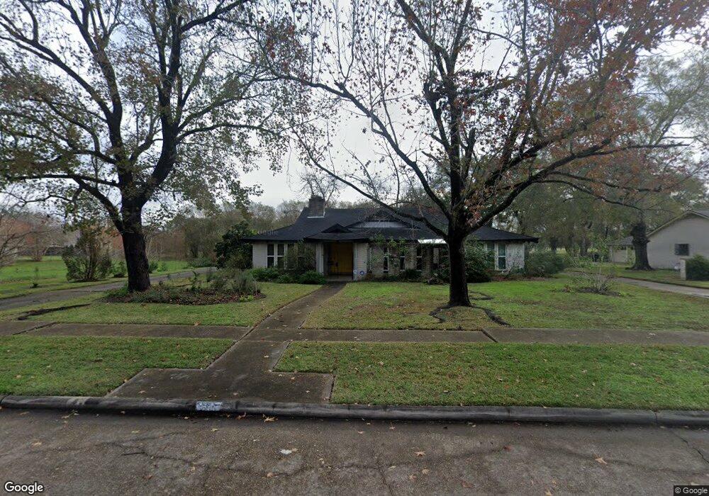
6105 Burning Tree Dr Houston, TX 77036
Sharpstown NeighborhoodEstimated Value: $347,000 - $382,000
4
Beds
3
Baths
2,809
Sq Ft
$130/Sq Ft
Est. Value
About This Home
This home is located at 6105 Burning Tree Dr, Houston, TX 77036 and is currently estimated at $363,773, approximately $129 per square foot. 6105 Burning Tree Dr is a home located in Harris County with nearby schools including Neff Elementary School, Sugar Grove Academy, and Sharpstown High School.
Ownership History
Date
Name
Owned For
Owner Type
Purchase Details
Closed on
Jan 27, 2003
Sold by
Dawes Marianne
Bought by
Dawes Marianne
Current Estimated Value
Purchase Details
Closed on
Aug 27, 2001
Sold by
Mongold Geraldine Alice and Segroves Thomas D
Bought by
Gavris Stavros
Purchase Details
Closed on
Sep 1, 1996
Sold by
Bell James Marshall and Bell Sherry Lynn
Bought by
Segroves Thomas D and Mongold Geraldine Alice
Home Financials for this Owner
Home Financials are based on the most recent Mortgage that was taken out on this home.
Original Mortgage
$113,220
Interest Rate
7.91%
Mortgage Type
VA
Create a Home Valuation Report for This Property
The Home Valuation Report is an in-depth analysis detailing your home's value as well as a comparison with similar homes in the area
Home Values in the Area
Average Home Value in this Area
Purchase History
| Date | Buyer | Sale Price | Title Company |
|---|---|---|---|
| Dawes Marianne | -- | -- | |
| Gavris Stavros | -- | First American Title | |
| Segroves Thomas D | -- | Stewart Title Company |
Source: Public Records
Mortgage History
| Date | Status | Borrower | Loan Amount |
|---|---|---|---|
| Previous Owner | Segroves Thomas D | $113,220 |
Source: Public Records
Tax History Compared to Growth
Tax History
| Year | Tax Paid | Tax Assessment Tax Assessment Total Assessment is a certain percentage of the fair market value that is determined by local assessors to be the total taxable value of land and additions on the property. | Land | Improvement |
|---|---|---|---|---|
| 2025 | $4,640 | $349,994 | $100,400 | $249,594 |
| 2024 | $4,640 | $351,067 | $100,400 | $250,667 |
| 2023 | $4,640 | $351,067 | $100,400 | $250,667 |
| 2022 | $7,028 | $342,447 | $100,400 | $242,047 |
| 2021 | $7,472 | $320,592 | $100,400 | $220,192 |
| 2020 | $7,618 | $304,541 | $100,400 | $204,141 |
| 2019 | $7,950 | $304,541 | $100,400 | $204,141 |
| 2018 | $4,971 | $286,873 | $100,400 | $186,473 |
| 2017 | $7,483 | $286,873 | $100,400 | $186,473 |
| 2016 | $7,483 | $286,873 | $100,400 | $186,473 |
| 2015 | $4,878 | $285,453 | $100,400 | $185,053 |
| 2014 | $4,878 | $244,667 | $100,400 | $144,267 |
Source: Public Records
Map
Nearby Homes
- 8579 Sands Point Dr Unit 102
- 6411 Redding Rd
- 8555 Sands Point Dr Unit 90
- 8543 Sands Point Dr
- 8435 Sands Point Dr
- 8411 Sands Point Dr Unit 18
- 8359 Sands Point Dr Unit 218
- 8275 Sands Point Dr Unit 176
- 8267 Sands Point Dr Unit 172
- 8257 Sands Point Dr Unit 167
- 8231 Sands Point Dr Unit 154
- 6602 Harbor Town Dr Unit 1207
- 6602 Harbor Town Dr Unit 1202
- 6500 Harbor Town Dr Unit 3208
- 6500 Harbor Town Dr Unit 2808
- 6500 Harbor Town Dr Unit 3204
- 6500 Harbor Town Dr Unit 3408
- 6500 Harbor Town Dr Unit 2902
- 8153 Sands Point Dr Unit 115
- 8223 Golf Green Cir
- 6109 Burning Tree Dr
- 6101 Burning Tree Dr
- 6005 Burning Tree Dr
- 6111 Burning Tree Dr
- 6106 Burning Tree Dr
- 6102 Burning Tree Dr
- 6110 Burning Tree Dr
- 6010 Burning Tree Dr
- 8599 Sands Point Dr Unit 112
- 6202 Burning Tree Dr
- 8597 Sands Point Dr Unit 111
- 8591 Sands Point Dr Unit 108
- 6203 Burning Tree Dr
- 8595 Sands Point Dr Unit 110
- 8589 Sands Point Dr Unit 107
- 6006 Burning Tree Dr
- 8587 Sands Point Dr Unit 106
- 8593 Sands Point Dr Unit 109
- 8585 Sands Point Dr Unit 105
- 6206 Burning Tree Dr