6105 Monarch Rd Longmont, CO 80503
Estimated Value: $3,809,000 - $5,117,402
5
Beds
7
Baths
10,670
Sq Ft
$418/Sq Ft
Est. Value
About This Home
This home is located at 6105 Monarch Rd, Longmont, CO 80503 and is currently estimated at $4,463,201, approximately $418 per square foot. 6105 Monarch Rd is a home located in Boulder County with nearby schools including Blue Mountain Elementary School, Altona Middle School, and Silver Creek High School.
Ownership History
Date
Name
Owned For
Owner Type
Purchase Details
Closed on
May 18, 2007
Sold by
Gilliland Michael Charles
Bought by
Cook Elizabeth Carroll
Current Estimated Value
Purchase Details
Closed on
Mar 2, 1988
Bought by
Cook Elizabeth Carroll
Purchase Details
Closed on
Nov 10, 1987
Bought by
Cook Elizabeth Carroll
Purchase Details
Closed on
Nov 12, 1986
Bought by
Cook Elizabeth Carroll
Purchase Details
Closed on
May 24, 1984
Bought by
Cook Elizabeth Carroll
Create a Home Valuation Report for This Property
The Home Valuation Report is an in-depth analysis detailing your home's value as well as a comparison with similar homes in the area
Home Values in the Area
Average Home Value in this Area
Purchase History
| Date | Buyer | Sale Price | Title Company |
|---|---|---|---|
| Cook Elizabeth Carroll | -- | None Available | |
| Cook Elizabeth Carroll | $130,000 | -- | |
| Cook Elizabeth Carroll | -- | -- | |
| Cook Elizabeth Carroll | -- | -- | |
| Cook Elizabeth Carroll | -- | -- |
Source: Public Records
Tax History Compared to Growth
Tax History
| Year | Tax Paid | Tax Assessment Tax Assessment Total Assessment is a certain percentage of the fair market value that is determined by local assessors to be the total taxable value of land and additions on the property. | Land | Improvement |
|---|---|---|---|---|
| 2025 | $37,398 | $319,618 | $491 | $319,127 |
| 2024 | $37,398 | $319,618 | $491 | $319,127 |
| 2023 | $36,912 | $367,214 | $6,125 | $364,774 |
| 2022 | $23,508 | $224,030 | $5,755 | $218,275 |
| 2021 | $23,245 | $231,824 | $6,322 | $225,502 |
| 2020 | $29,013 | $290,525 | $5,829 | $284,696 |
| 2019 | $28,563 | $290,525 | $5,829 | $284,696 |
| 2018 | $34,759 | $356,087 | $6,003 | $350,084 |
| 2017 | $34,297 | $389,976 | $6,003 | $383,973 |
| 2016 | $34,797 | $354,536 | $5,684 | $348,852 |
| 2015 | $33,182 | $340,026 | $6,264 | $333,762 |
| 2014 | $31,250 | $340,026 | $6,264 | $333,762 |
Source: Public Records
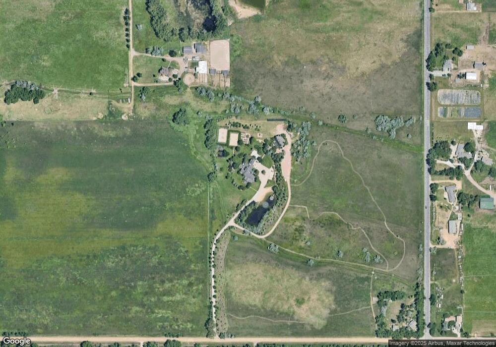
Map
Nearby Homes
- 5939 Niwot Rd
- 6789 Niwot Rd
- 5952 Oxford Rd
- 7484 N 49th St
- 7464 Whirlaway Ln
- 5196 Oxford Rd
- 3625 Nimbus Rd
- 5531 High Country Ct
- 6957 Peppertree Dr
- 5459 Indian Summer Ct
- 6798 Snead Ct
- 6809 Harvest Rd
- 7466 Park Lane Rd
- 7240 Glacier View Rd
- 4448 Nicklaus Ct
- 8418 Stirrup Ln
- 6972 Roaring Fork Trail
- 5302 Pinehurst Dr
- 5120 Williams Fork Trail Unit 213
- 5122 Williams Fork Trail Unit 108