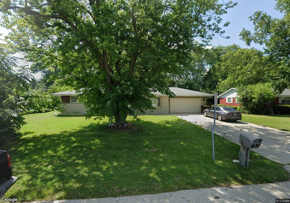
6105 W Brown Deer Rd Milwaukee, WI 53223
Estimated Value: $285,058 - $316,000
--
Bed
--
Bath
1,307
Sq Ft
$231/Sq Ft
Est. Value
About This Home
This home is located at 6105 W Brown Deer Rd, Milwaukee, WI 53223 and is currently estimated at $302,265, approximately $231 per square foot. 6105 W Brown Deer Rd is a home located in Milwaukee County with nearby schools including Brown Deer Elementary School, Brown Deer Middle/High School, and Institute of Technology and Academics.
Ownership History
Date
Name
Owned For
Owner Type
Purchase Details
Closed on
Nov 21, 2014
Sold by
Rigoni Anthony F and Debord Mary Kay
Bought by
Willingham Joseph and Willingham Leola
Current Estimated Value
Home Financials for this Owner
Home Financials are based on the most recent Mortgage that was taken out on this home.
Original Mortgage
$116,500
Outstanding Balance
$88,946
Interest Rate
3.91%
Mortgage Type
New Conventional
Estimated Equity
$213,319
Create a Home Valuation Report for This Property
The Home Valuation Report is an in-depth analysis detailing your home's value as well as a comparison with similar homes in the area
Home Values in the Area
Average Home Value in this Area
Purchase History
| Date | Buyer | Sale Price | Title Company |
|---|---|---|---|
| Willingham Joseph | $123,000 | None Available |
Source: Public Records
Mortgage History
| Date | Status | Borrower | Loan Amount |
|---|---|---|---|
| Open | Willingham Joseph | $116,500 |
Source: Public Records
Tax History Compared to Growth
Tax History
| Year | Tax Paid | Tax Assessment Tax Assessment Total Assessment is a certain percentage of the fair market value that is determined by local assessors to be the total taxable value of land and additions on the property. | Land | Improvement |
|---|---|---|---|---|
| 2024 | $4,374 | $227,100 | $39,500 | $187,600 |
| 2023 | $4,374 | -- | -- | -- |
| 2022 | $4,374 | $203,000 | $39,500 | $163,500 |
| 2021 | $4,162 | $175,000 | $39,500 | $135,500 |
| 2020 | $4,084 | $158,200 | $39,500 | $118,700 |
| 2019 | $3,903 | $132,500 | $39,500 | $93,000 |
| 2018 | $4,455 | $132,500 | $39,500 | $93,000 |
| 2017 | $3,690 | $132,500 | $39,500 | $93,000 |
| 2016 | $3,784 | $132,500 | $39,500 | $93,000 |
| 2015 | $3,875 | $132,500 | $39,500 | $93,000 |
| 2014 | $4,202 | $144,000 | $47,500 | $96,500 |
| 2013 | $4,307 | $144,000 | $47,500 | $96,500 |
Source: Public Records
Map
Nearby Homes
- 8681 N 60th St
- 5901 W Brown Deer Rd Unit 117
- 5650 W Wahner Ave Unit 206
- 8574 N 58th St
- 5665 W Range Ave
- 5836 W Green Brook Dr
- 8498 N 68th St
- 6900 W Beatrice Ct
- 8707 N 52nd St
- 9150 N 60th St
- 6901 W Greenbrook Ct
- 9026 N Park Plaza Ct Unit 9026
- 5400 W Dean Rd
- 6206 W Fairlane Ave
- 8274 N 55th St
- 8325 N 53rd St
- 8254 N 55th St
- 9014 N 70th St Unit 6
- 9034 N 70th St Unit 2
- 8657 N 72nd St
- 6153 W Brown Deer Rd
- 8700 N 62nd St
- 8749 N 60th St
- 8692 N 62nd St
- 8697 N 63rd St
- 8731 N 60th St
- 6201 W Brown Deer Rd
- 8719 N 60th St
- 8693 N 63rd St
- 8684 N 62nd St
- 6249 W Brown Deer Rd
- 8687 N 62nd St
- 8689 N 63rd St
- 8705 N 60th St
- 8678 N 62nd St
- 6297 W Brown Deer Rd
- 8673 N 62nd St
- 8685 N 63rd St
- 6345 W Brown Deer Rd
- 5959 W Wahner Ave