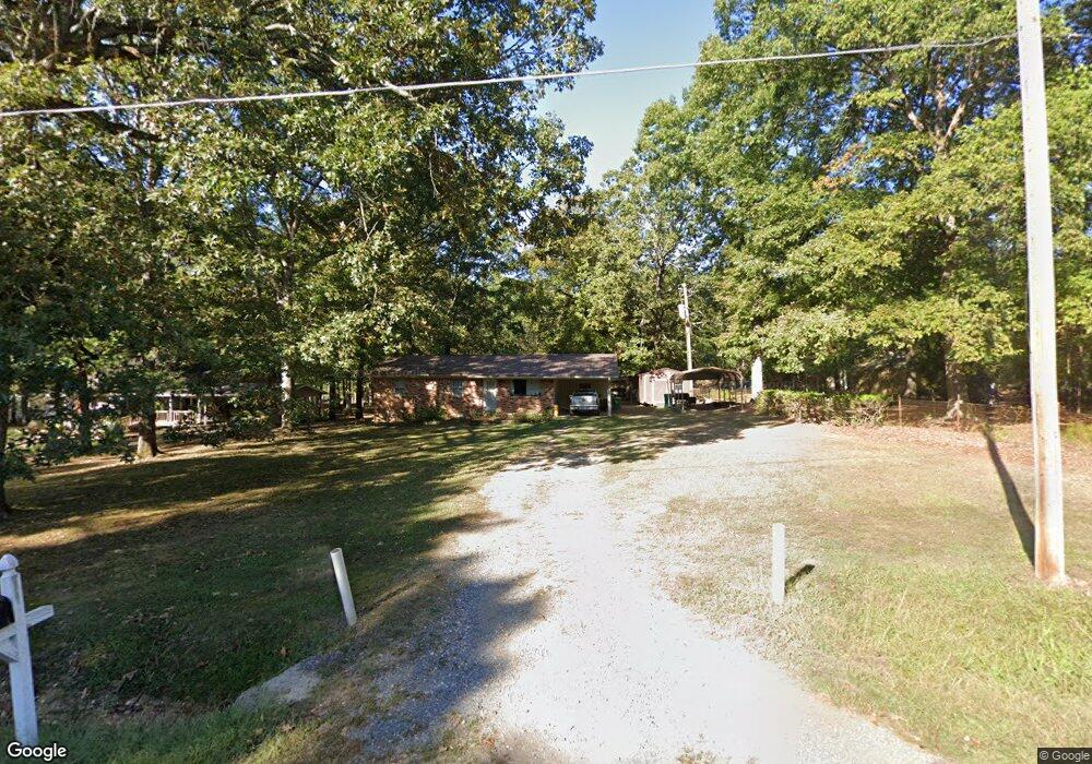
6106 Dent Rd Little Rock, AR 72210
Western Little Rock NeighborhoodEstimated Value: $128,754 - $255,000
Studio
3
Baths
1,160
Sq Ft
$154/Sq Ft
Est. Value
About This Home
This home is located at 6106 Dent Rd, Little Rock, AR 72210 and is currently estimated at $178,939, approximately $154 per square foot. 6106 Dent Rd is a home located in Pulaski County with nearby schools including Lawson Elementary School, Joe T. Robinson Middle School, and Joe T. Robinson High School.
Ownership History
Date
Name
Owned For
Owner Type
Purchase Details
Closed on
Jul 23, 2008
Sold by
Reddick Elmer Eugene
Bought by
Reddick Wilburn Eugene and Reddick Donnie Marie
Current Estimated Value
Purchase Details
Closed on
Oct 12, 2004
Sold by
Threlkeld Mattie Ruth
Bought by
Richardson Thomas J and Richardson Barbara J
Purchase Details
Closed on
Oct 10, 2004
Sold by
Threlkeld Mattie Ruth
Bought by
Richardson Thomas J and Richardson Barbara J
Create a Home Valuation Report for This Property
The Home Valuation Report is an in-depth analysis detailing your home's value as well as a comparison with similar homes in the area
Home Values in the Area
Average Home Value in this Area
Purchase History
| Date | Buyer | Sale Price | Title Company |
|---|---|---|---|
| Reddick Wilburn Eugene | -- | None Available | |
| Richardson Thomas J | -- | None Available | |
| Richardson Thomas J | -- | None Available |
Source: Public Records
Tax History
| Year | Tax Paid | Tax Assessment Tax Assessment Total Assessment is a certain percentage of the fair market value that is determined by local assessors to be the total taxable value of land and additions on the property. | Land | Improvement |
|---|---|---|---|---|
| 2025 | $590 | $21,508 | $2,000 | $19,508 |
| 2024 | $590 | $21,508 | $2,000 | $19,508 |
| 2023 | $590 | $21,508 | $2,000 | $19,508 |
| 2022 | $662 | $21,508 | $2,000 | $19,508 |
| 2021 | $649 | $17,760 | $2,500 | $15,260 |
| 2020 | $274 | $17,760 | $2,500 | $15,260 |
| 2019 | $274 | $17,760 | $2,500 | $15,260 |
| 2018 | $299 | $17,760 | $2,500 | $15,260 |
| 2017 | $299 | $17,760 | $2,500 | $15,260 |
| 2016 | $590 | $18,740 | $3,500 | $15,240 |
| 2015 | $590 | $11,610 | $3,500 | $8,110 |
| 2014 | $590 | $11,610 | $3,500 | $8,110 |
Source: Public Records
Map
Nearby Homes
- 6101 Sullivan Rd
- 0 Charlyne Ave Unit 26006888
- 0 Charlyne Ave Unit 26006882
- 000
- 00 Raines Sullivan
- 6600 Shaner Cir
- 7015 Lucea Rd
- 18100 Raines Rd
- 15011 Angus Ct
- 18805 Lochridge Dr
- 15109 Angus Ct
- 33 Plantation Acres Dr
- 16025 Burleigh Ct
- 3508 Jack Mann Rd
- 9096 Stone Canyon Dr
- Lot 7 Oversprings Dr
- 4824 Yvonne St
- 3209 Jack Mann Rd
- 0 Crystal Valley Rd Unit 21019328
- 14524 Lawson Rd
- 6112 Dent Rd
- 6024 Dent Rd
- 17618 Elvin Rd
- 6021 Dent Rd
- 17500 Elvin Rd
- 17300 Elvin Rd
- 17601 Elvin Rd
- 17720 Elvin Rd
- 6009 Dent Rd
- 17517 Elvin Rd
- 6016 Sullivan Rd
- 17607 La Darr Rd
- 0 Elvin Rd Unit 20038135
- 01 Sullivan Rd
- 00 Sullivan Rd
- 17607 Elvin Rd
- 6006 Sullivan Rd
- 17505 La Darr Rd
- 17724 Elvin Rd
- 17409 Elvin Rd
Your Personal Tour Guide
Ask me questions while you tour the home.