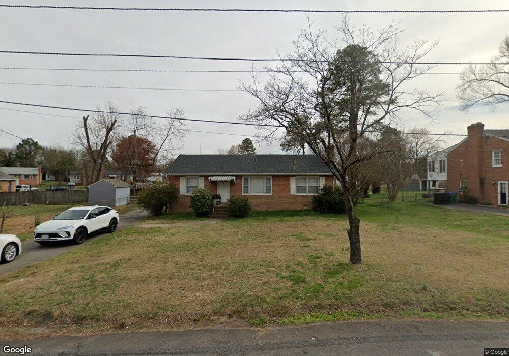
6107 Winford Ln Richmond, VA 23225
Cedarhurst NeighborhoodEstimated Value: $287,618 - $329,000
--
Bed
2
Baths
1,270
Sq Ft
$245/Sq Ft
Est. Value
About This Home
This home is located at 6107 Winford Ln, Richmond, VA 23225 and is currently estimated at $311,655, approximately $245 per square foot. 6107 Winford Ln is a home located in Richmond City with nearby schools including Southampton Elementary School, Lucille M. Brown Middle, and Huguenot High School.
Ownership History
Date
Name
Owned For
Owner Type
Purchase Details
Closed on
Feb 10, 2021
Sold by
The Will Of Charles Hudson
Bought by
6107 Winford Lane Land Trust
Current Estimated Value
Home Financials for this Owner
Home Financials are based on the most recent Mortgage that was taken out on this home.
Original Mortgage
$75,000
Outstanding Balance
$66,963
Interest Rate
2.6%
Mortgage Type
Purchase Money Mortgage
Estimated Equity
$244,692
Create a Home Valuation Report for This Property
The Home Valuation Report is an in-depth analysis detailing your home's value as well as a comparison with similar homes in the area
Home Values in the Area
Average Home Value in this Area
Purchase History
| Date | Buyer | Sale Price | Title Company |
|---|---|---|---|
| 6107 Winford Lane Land Trust | $71,100 | Homeland Title Stlmnt Agency |
Source: Public Records
Mortgage History
| Date | Status | Borrower | Loan Amount |
|---|---|---|---|
| Open | 6107 Winford Lane Land Trust | $75,000 |
Source: Public Records
Tax History Compared to Growth
Tax History
| Year | Tax Paid | Tax Assessment Tax Assessment Total Assessment is a certain percentage of the fair market value that is determined by local assessors to be the total taxable value of land and additions on the property. | Land | Improvement |
|---|---|---|---|---|
| 2025 | $2,748 | $229,000 | $63,000 | $166,000 |
| 2024 | $2,592 | $216,000 | $50,000 | $166,000 |
| 2023 | $2,460 | $205,000 | $50,000 | $155,000 |
| 2022 | $2,184 | $182,000 | $45,000 | $137,000 |
| 2021 | $1,776 | $150,000 | $35,000 | $115,000 |
| 2020 | $1,776 | $148,000 | $35,000 | $113,000 |
| 2019 | $2,586 | $137,000 | $35,000 | $102,000 |
| 2018 | $1,500 | $125,000 | $35,000 | $90,000 |
| 2017 | $1,440 | $120,000 | $35,000 | $85,000 |
| 2016 | $1,440 | $120,000 | $35,000 | $85,000 |
| 2015 | $2,434 | $119,000 | $35,000 | $84,000 |
| 2014 | $2,434 | $130,000 | $35,000 | $95,000 |
Source: Public Records
Map
Nearby Homes
- 1112 Blandy Ave
- 5955 Wainwright Dr
- 5612 Southern Pine Dr
- 6119 Primrose Place
- 6117 Primrose Place
- 1025 Forest View School Dr
- 5504 Riverside Heights Way
- 1937 Lansing Ave
- 5600 Riverside Heights Way
- 2021 Cedarhurst Dr
- 2024 Cedarhurst Dr
- 1704 German School Rd
- 816 Faye St
- 5636 Forest Hill Ave
- 6713 N Grand Brook Cir
- 6739 S Grand Brook Cir
- 1722 Leicester Rd
- 1101 Grand Brook Dr
- 5204 Forest Hill Ave
- 6813 Grand Brook Ct
- 6113 Winford Ln
- 1306 Huntland Rd
- 1220 Newell Rd
- 1304 Huntland Rd
- 1214 Newell Rd
- 6119 Winford Ln
- 6108 Winford Ln
- 6100 Winford Ln
- 1208 Newell Rd
- 6118 Winford Ln
- 6125 Winford Ln
- 6100 Jahnke Rd
- 6124 Winford Ln
- 1301 Huntland Rd
- 1217 Newell Rd
- 1324 Huntland Rd
- 1307 Huntland Rd
- 1225 Newell Rd
- 1200 Newell Rd
- 1233 Newell Rd