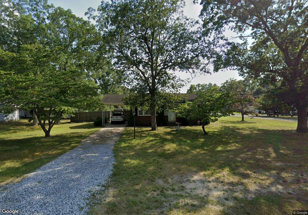
6108 11th St Mays Landing, NJ 08330
Estimated Value: $271,000 - $310,000
--
Bed
--
Bath
996
Sq Ft
$287/Sq Ft
Est. Value
About This Home
This home is located at 6108 11th St, Mays Landing, NJ 08330 and is currently estimated at $285,363, approximately $286 per square foot. 6108 11th St is a home located in Atlantic County with nearby schools including Joseph Shaner School, George L. Hess Educational Complex, and William Davies Middle School.
Ownership History
Date
Name
Owned For
Owner Type
Purchase Details
Closed on
May 4, 2006
Sold by
Nicholson Roger
Bought by
Roberta Moncrief
Current Estimated Value
Home Financials for this Owner
Home Financials are based on the most recent Mortgage that was taken out on this home.
Original Mortgage
$172,000
Outstanding Balance
$98,728
Interest Rate
6.34%
Mortgage Type
Purchase Money Mortgage
Estimated Equity
$186,635
Purchase Details
Closed on
Apr 12, 2006
Sold by
Nicholson Roger
Bought by
Roberta Moncrief
Home Financials for this Owner
Home Financials are based on the most recent Mortgage that was taken out on this home.
Original Mortgage
$172,000
Outstanding Balance
$98,728
Interest Rate
6.34%
Mortgage Type
Purchase Money Mortgage
Estimated Equity
$186,635
Purchase Details
Closed on
Aug 13, 2002
Sold by
Wigglesworth Nora L
Bought by
Nicholson Roger E
Home Financials for this Owner
Home Financials are based on the most recent Mortgage that was taken out on this home.
Original Mortgage
$107,350
Interest Rate
6.61%
Create a Home Valuation Report for This Property
The Home Valuation Report is an in-depth analysis detailing your home's value as well as a comparison with similar homes in the area
Home Values in the Area
Average Home Value in this Area
Purchase History
| Date | Buyer | Sale Price | Title Company |
|---|---|---|---|
| Roberta Moncrief | -- | -- | |
| Roberta Moncrief | $215,000 | -- | |
| Nicholson Roger E | $113,000 | Fidelity National Title |
Source: Public Records
Mortgage History
| Date | Status | Borrower | Loan Amount |
|---|---|---|---|
| Open | Roberta Moncrief | $172,000 | |
| Previous Owner | Nicholson Roger E | $107,350 |
Source: Public Records
Tax History Compared to Growth
Tax History
| Year | Tax Paid | Tax Assessment Tax Assessment Total Assessment is a certain percentage of the fair market value that is determined by local assessors to be the total taxable value of land and additions on the property. | Land | Improvement |
|---|---|---|---|---|
| 2025 | $4,793 | $139,700 | $45,200 | $94,500 |
| 2024 | $4,793 | $139,700 | $45,200 | $94,500 |
| 2023 | $4,507 | $139,700 | $45,200 | $94,500 |
| 2022 | $4,507 | $139,700 | $45,200 | $94,500 |
| 2021 | $4,497 | $139,700 | $45,200 | $94,500 |
| 2020 | $4,497 | $139,700 | $45,200 | $94,500 |
| 2019 | $4,508 | $139,700 | $45,200 | $94,500 |
| 2018 | $4,350 | $139,700 | $45,200 | $94,500 |
| 2017 | $4,282 | $139,700 | $45,200 | $94,500 |
| 2016 | $4,162 | $139,700 | $45,200 | $94,500 |
| 2015 | $4,021 | $139,700 | $45,200 | $94,500 |
| 2014 | $4,077 | $155,200 | $53,900 | $101,300 |
Source: Public Records
Map
Nearby Homes
- 1st First Ave
- 0 Cape May Ave
- Lot:11.02-12.02 Estelle Ave
- B:534 L:11.01 Estelle Ave
- B:534 L:12.02 Estelle Ave
- B:534 L:11.02 Estelle Ave
- Bl 531 Lot 8&9 Adams Ave
- 526 Bainbridge Ave
- 42 Ernst Ct
- 565 Park Rd
- 22 Ernst Ct
- 535 Park Rd
- 0 3rd St
- 204 Route 50
- Rt 50 and Old Mays Landing Rd
- 5745 2nd St
- 850 Morningside Dr
- 18 Lewis Dr
- 94 Merlino Ln
- 80 Mill St
- 948 Calhoun Ave
- 6104 11th St
- 246 11th St
- 949 Decatur Ave
- 6109 11th St
- 932 Calhoun Ave
- 6105 11th St
- 949 Calhoun Ave
- 933 Decatur Ave
- 933 Calhoun Ave
- 1116 Calhoun Ave
- 0 Decatur Ave Unit 1005915687
- 0 Decatur Ave Unit 459655
- 0 Decatur Ave Unit 7121300
- 0 Decatur Ave Unit 1001975360
- 1101 Calhoun Ave
- 964 Bainbridge Ave
- 964 Decatur Ave
- 916 Calhoun Ave
- 948 Decatur Ave