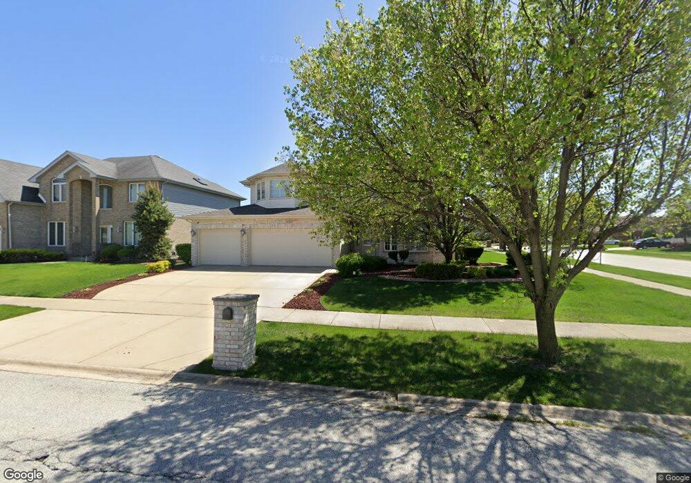
6109 Newbury Ln Matteson, IL 60443
West Matteson NeighborhoodEstimated Value: $442,000 - $554,000
4
Beds
3
Baths
3,140
Sq Ft
$152/Sq Ft
Est. Value
About This Home
This home is located at 6109 Newbury Ln, Matteson, IL 60443 and is currently estimated at $478,848, approximately $152 per square foot. 6109 Newbury Ln is a home located in Cook County with nearby schools including Colin Powell Middle School.
Ownership History
Date
Name
Owned For
Owner Type
Purchase Details
Closed on
Oct 11, 2005
Sold by
State Bank Of Countryside
Bought by
Cooper Malika
Current Estimated Value
Home Financials for this Owner
Home Financials are based on the most recent Mortgage that was taken out on this home.
Original Mortgage
$326,800
Outstanding Balance
$189,917
Interest Rate
7.15%
Mortgage Type
Unknown
Estimated Equity
$288,932
Create a Home Valuation Report for This Property
The Home Valuation Report is an in-depth analysis detailing your home's value as well as a comparison with similar homes in the area
Home Values in the Area
Average Home Value in this Area
Purchase History
| Date | Buyer | Sale Price | Title Company |
|---|---|---|---|
| Cooper Malika | $408,500 | Enterprise Land Title Ltd |
Source: Public Records
Mortgage History
| Date | Status | Borrower | Loan Amount |
|---|---|---|---|
| Open | Cooper Malika | $326,800 |
Source: Public Records
Tax History Compared to Growth
Tax History
| Year | Tax Paid | Tax Assessment Tax Assessment Total Assessment is a certain percentage of the fair market value that is determined by local assessors to be the total taxable value of land and additions on the property. | Land | Improvement |
|---|---|---|---|---|
| 2024 | $16,036 | $42,000 | $6,212 | $35,788 |
| 2023 | $12,932 | $42,000 | $6,212 | $35,788 |
| 2022 | $12,932 | $27,575 | $5,365 | $22,210 |
| 2021 | $13,102 | $27,574 | $5,364 | $22,210 |
| 2020 | $12,780 | $27,574 | $5,364 | $22,210 |
| 2019 | $13,430 | $28,009 | $4,799 | $23,210 |
| 2018 | $13,231 | $28,009 | $4,799 | $23,210 |
| 2017 | $12,897 | $28,009 | $4,799 | $23,210 |
| 2016 | $13,157 | $27,922 | $4,235 | $23,687 |
| 2015 | $12,855 | $27,922 | $4,235 | $23,687 |
| 2014 | $12,533 | $27,922 | $4,235 | $23,687 |
| 2013 | $12,887 | $30,642 | $4,235 | $26,407 |
Source: Public Records
Map
Nearby Homes
- 1008 Willow Rd
- 1000 Warwick Dr
- 931 Destiny Dr
- 6216 Pond View Dr
- 921 Fieldside Dr Unit 1231
- 970 Regent Dr
- 1030 Regent Dr
- 6200 Marsh Ln
- 985 Regent Dr
- 997 Regent Dr
- 1005 Regent Dr
- 733 Old Meadow Rd
- 6125 Sunflower Dr
- 21222 Whitney Ave
- 21210 Shannon Dr
- 21143 Gray Hawk Dr Unit 2554
- 818 Princeton Ave
- 6260 Sunflower Dr
- 6037 Spring Ln
- 948 Dartmouth Ave
- 6105 Newbury Ln
- 925 Berkshire Dr
- 6113 Newbury Ln
- 6101 Newbury Ln
- 924 Willow Rd
- 1001 Berkshire Dr
- 6110 Newbury Ln
- 924 Berkshire Dr
- 6106 Newbury Ln
- 1000 Willow Rd Unit 1255
- 916 Berkshire Dr
- 6102 Newbury Ln
- 1000 Berkshire Dr
- 1005 Berkshire Dr
- 913 Berkshire Dr
- 1004 Willow Rd
- 6121 Newbury Ln
- 1004 Berkshire Dr
- 927 Donnington Dr
- 912 Berkshire Dr