611 24th St Otsego, MI 49078
Estimated Value: $201,000 - $420,000
--
Bed
3
Baths
1,722
Sq Ft
$164/Sq Ft
Est. Value
About This Home
This home is located at 611 24th St, Otsego, MI 49078 and is currently estimated at $281,667, approximately $163 per square foot. 611 24th St is a home located in Allegan County with nearby schools including Otsego High School.
Ownership History
Date
Name
Owned For
Owner Type
Purchase Details
Closed on
May 6, 2014
Sold by
Moll Richard L and Moll Mary A
Bought by
Moll Revocable Trust
Current Estimated Value
Purchase Details
Closed on
Mar 14, 2003
Sold by
Lamb Dale A and Lamb Janet M
Bought by
Lamb Dale A and Lamb Janet M
Purchase Details
Closed on
Jun 14, 1999
Sold by
Lamb David A and Lamb Cynthia A
Bought by
Moll Richard L and Moll Mary A
Create a Home Valuation Report for This Property
The Home Valuation Report is an in-depth analysis detailing your home's value as well as a comparison with similar homes in the area
Home Values in the Area
Average Home Value in this Area
Purchase History
| Date | Buyer | Sale Price | Title Company |
|---|---|---|---|
| Moll Revocable Trust | -- | None Available | |
| Lamb Dale A | -- | -- | |
| Moll Richard L | $35,000 | -- | |
| Lyons Jeffery | $35,000 | -- |
Source: Public Records
Tax History Compared to Growth
Tax History
| Year | Tax Paid | Tax Assessment Tax Assessment Total Assessment is a certain percentage of the fair market value that is determined by local assessors to be the total taxable value of land and additions on the property. | Land | Improvement |
|---|---|---|---|---|
| 2025 | $2,741 | $147,600 | $33,100 | $114,500 |
| 2024 | $2,313 | $127,300 | $28,100 | $99,200 |
| 2023 | $2,355 | $109,600 | $27,500 | $82,100 |
| 2022 | $2,313 | $100,800 | $25,300 | $75,500 |
| 2021 | $2,186 | $98,900 | $26,300 | $72,600 |
| 2020 | $2,157 | $96,000 | $27,200 | $68,800 |
| 2019 | $2,087 | $83,000 | $21,100 | $61,900 |
| 2018 | $2,042 | $82,500 | $20,000 | $62,500 |
| 2017 | $0 | $76,300 | $11,900 | $64,400 |
| 2016 | $0 | $66,500 | $11,900 | $54,600 |
| 2015 | -- | $66,500 | $11,900 | $54,600 |
| 2014 | $2,503 | $75,500 | $11,400 | $64,100 |
| 2013 | $2,503 | $61,800 | $14,100 | $47,700 |
Source: Public Records
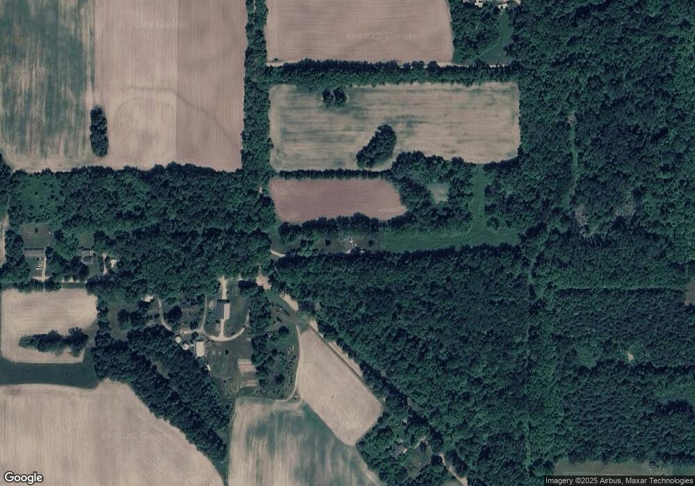
Map
Nearby Homes
- 2331 105th Ave
- 743 25th St
- 2435 108th Ave
- 722 River Rd
- 2108 Fox Mountain Dr
- 902 Double Eagle Dr
- 908 Double Eagle Dr
- 589 Lincoln Rd
- 552 19th St
- 484 28th St
- 1028 26th St
- 2044 110th Ave
- 602 Lincoln Rd
- 2116 Westfield Ln
- 2222 101st Ave
- 716 30th St
- 849 18th St
- 624 Nicholson St
- 1202 Lincoln Rd
- 0 Briarwood St Unit 25002251