Estimated Value: $187,988 - $205,000
3
Beds
2
Baths
1,304
Sq Ft
$151/Sq Ft
Est. Value
About This Home
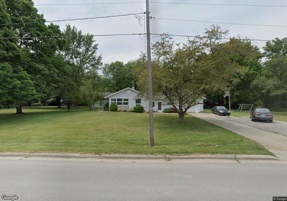
This home is located at 611 Adrian St, Delta, OH 43515 and is currently estimated at $196,497, approximately $150 per square foot. 611 Adrian St is a home located in Fulton County with nearby schools including Delta Elementary School, Pike-Delta-York Middle School, and Pike-Delta-York High School.
Ownership History
Date
Name
Owned For
Owner Type
Purchase Details
Closed on
Feb 3, 2007
Sold by
Ruple Janet K and Kuntz Rodney W
Bought by
Lamb Abbey C and Lamb Ryan E
Current Estimated Value
Purchase Details
Closed on
Jan 1, 1990
Bought by
Ruple David J and Ruple Janet K
Create a Home Valuation Report for This Property
The Home Valuation Report is an in-depth analysis detailing your home's value as well as a comparison with similar homes in the area
Home Values in the Area
Average Home Value in this Area
Purchase History
| Date | Buyer | Sale Price | Title Company |
|---|---|---|---|
| Lamb Abbey C | $120,000 | Attorney | |
| Ruple David J | -- | -- |
Source: Public Records
Tax History
| Year | Tax Paid | Tax Assessment Tax Assessment Total Assessment is a certain percentage of the fair market value that is determined by local assessors to be the total taxable value of land and additions on the property. | Land | Improvement |
|---|---|---|---|---|
| 2024 | $2,473 | $53,520 | $13,620 | $39,900 |
| 2023 | $2,272 | $53,520 | $13,620 | $39,900 |
| 2022 | $2,437 | $43,790 | $11,340 | $32,450 |
| 2021 | $2,517 | $43,790 | $11,340 | $32,450 |
| 2020 | $2,506 | $43,790 | $11,340 | $32,450 |
| 2019 | $2,151 | $38,430 | $11,340 | $27,090 |
| 2018 | $2,024 | $38,430 | $11,340 | $27,090 |
| 2017 | $2,014 | $38,430 | $11,340 | $27,090 |
| 2016 | $1,977 | $33,920 | $11,340 | $22,580 |
| 2015 | $1,891 | $33,920 | $11,340 | $22,580 |
| 2014 | $1,938 | $33,920 | $11,340 | $22,580 |
| 2013 | $1,896 | $33,470 | $9,070 | $24,400 |
Source: Public Records
Map
Nearby Homes
- 302 Adrian St
- 308 Monroe St
- 207 Wood St
- 8069 Fulton County 7-2
- 305 Mckinley St
- 8069 County Road 7
- 518 Providence St
- 929 Linwood Ave
- 2049 Pear Tree Ln
- 318 Hidden Ridge Dr
- 2061 Redbud Ln
- 315 Cherrytree Ln
- 2158 Redbud Ln
- 320 Crabtree Ln
- 9136 County Road Ef
- 9294 County Road L
- 7373 County Road 12
- 11470 County Rd E
- 3088 County Road H
- 3121 County Road Ef
Your Personal Tour Guide
Ask me questions while you tour the home.