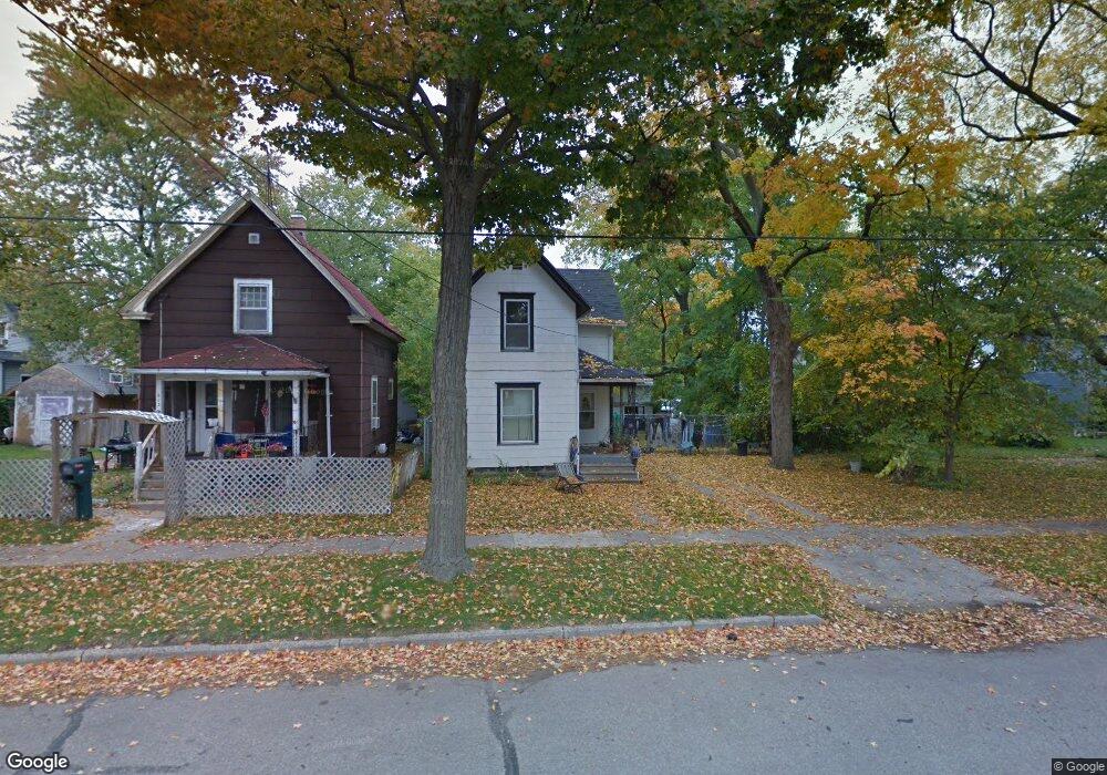
611 Backus St Jackson, MI 49202
Bennett NeighborhoodEstimated Value: $100,000 - $121,000
3
Beds
1
Bath
1,182
Sq Ft
$90/Sq Ft
Est. Value
About This Home
This home is located at 611 Backus St, Jackson, MI 49202 and is currently estimated at $106,343, approximately $89 per square foot. 611 Backus St is a home located in Jackson County with nearby schools including Hunt Elementary School, Middle School at Parkside, and Jackson High School.
Ownership History
Date
Name
Owned For
Owner Type
Purchase Details
Closed on
Jun 22, 2012
Sold by
Arnold Gene B and Arnold Tamela J
Bought by
Arnold Gene B
Current Estimated Value
Purchase Details
Closed on
Dec 13, 2002
Sold by
Arnold Gene B and Arnold Tamela J
Bought by
Arnold Gene B and Arnold Tamela J
Home Financials for this Owner
Home Financials are based on the most recent Mortgage that was taken out on this home.
Original Mortgage
$70,000
Interest Rate
6.3%
Mortgage Type
Purchase Money Mortgage
Create a Home Valuation Report for This Property
The Home Valuation Report is an in-depth analysis detailing your home's value as well as a comparison with similar homes in the area
Home Values in the Area
Average Home Value in this Area
Purchase History
| Date | Buyer | Sale Price | Title Company |
|---|---|---|---|
| Arnold Gene B | -- | None Available | |
| Arnold Gene B | -- | At |
Source: Public Records
Mortgage History
| Date | Status | Borrower | Loan Amount |
|---|---|---|---|
| Closed | Arnold Gene B | $70,000 |
Source: Public Records
Tax History
| Year | Tax Paid | Tax Assessment Tax Assessment Total Assessment is a certain percentage of the fair market value that is determined by local assessors to be the total taxable value of land and additions on the property. | Land | Improvement |
|---|---|---|---|---|
| 2025 | $1,300 | $40,600 | $0 | $0 |
| 2024 | $11 | $38,100 | $0 | $0 |
| 2023 | $1,079 | $33,800 | $0 | $0 |
| 2022 | $1,188 | $29,400 | $0 | $0 |
| 2021 | $1,176 | $26,500 | $0 | $0 |
| 2020 | $1,161 | $25,600 | $0 | $0 |
| 2019 | $1,130 | $24,400 | $0 | $0 |
| 2018 | $1,078 | $19,050 | $0 | $0 |
| 2017 | $988 | $17,950 | $0 | $0 |
| 2016 | $852 | $19,800 | $19,800 | $0 |
| 2015 | $929 | $18,450 | $18,450 | $0 |
| 2014 | $929 | $16,650 | $16,650 | $0 |
| 2013 | -- | $16,650 | $16,650 | $0 |
Source: Public Records
Map
Nearby Homes
- 609 Webb St
- 611 Oakhill Ave
- 542 A St
- 503 W Trail St
- 713 Webb St
- 313 Taylor St
- 836 Lincoln St
- 831 N West Ave
- 718 Center St
- 330 N West Ave
- 319 Homecrest Rd
- 324 Clinton St
- 311 Hibbard Ave
- 0 Clinton St Unit 24055405
- 1006 Wildwood Ave
- 205 N West Ave
- 1105 Clinton Rd
- 750 W Michigan Ave
- 206 N Grinnell St
- 715 W Michigan Ave Unit 508
Your Personal Tour Guide
Ask me questions while you tour the home.