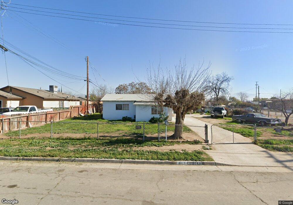
611 Barlow St Bakersfield, CA 93306
West Pioneer Dr NeighborhoodEstimated Value: $227,000 - $268,000
3
Beds
2
Baths
757
Sq Ft
$322/Sq Ft
Est. Value
About This Home
This home is located at 611 Barlow St, Bakersfield, CA 93306 and is currently estimated at $243,896, approximately $322 per square foot. 611 Barlow St is a home located in Kern County with nearby schools including Ramon Garza Elementary School, Sierra Middle School, and East Bakersfield High School.
Ownership History
Date
Name
Owned For
Owner Type
Purchase Details
Closed on
Aug 5, 2022
Sold by
Margarita Caquias
Bought by
Caquias Paula and Espinoza Juan Cruz
Current Estimated Value
Purchase Details
Closed on
Mar 2, 1995
Sold by
Carpenter Frances S
Bought by
Caquias Ismael and Caquias Margarita
Home Financials for this Owner
Home Financials are based on the most recent Mortgage that was taken out on this home.
Original Mortgage
$53,972
Interest Rate
8.51%
Mortgage Type
FHA
Create a Home Valuation Report for This Property
The Home Valuation Report is an in-depth analysis detailing your home's value as well as a comparison with similar homes in the area
Home Values in the Area
Average Home Value in this Area
Purchase History
| Date | Buyer | Sale Price | Title Company |
|---|---|---|---|
| Caquias Paula | -- | -- | |
| Caquias Ismael | $54,000 | First American Title Ins Co |
Source: Public Records
Mortgage History
| Date | Status | Borrower | Loan Amount |
|---|---|---|---|
| Previous Owner | Caquias Ismael | $53,972 |
Source: Public Records
Tax History
| Year | Tax Paid | Tax Assessment Tax Assessment Total Assessment is a certain percentage of the fair market value that is determined by local assessors to be the total taxable value of land and additions on the property. | Land | Improvement |
|---|---|---|---|---|
| 2025 | $2,232 | $90,669 | $33,577 | $57,092 |
| 2024 | $2,232 | $88,892 | $32,919 | $55,973 |
| 2023 | $4,033 | $250,000 | $60,000 | $190,000 |
| 2022 | $2,121 | $85,441 | $31,641 | $53,800 |
| 2021 | $2,011 | $83,767 | $31,021 | $52,746 |
| 2020 | $2,011 | $82,909 | $30,703 | $52,206 |
| 2019 | $1,885 | $82,909 | $30,703 | $52,206 |
| 2018 | $1,850 | $79,691 | $29,511 | $50,180 |
| 2017 | $1,818 | $78,130 | $28,933 | $49,197 |
| 2016 | $1,512 | $76,599 | $28,366 | $48,233 |
| 2015 | $1,380 | $63,000 | $16,000 | $47,000 |
| 2014 | $1,329 | $60,000 | $15,000 | $45,000 |
Source: Public Records
Map
Nearby Homes
- 2740 Center St
- 909 Pentz St
- 2728 Kentucky St
- 2801 Lake St
- 2608 Lake St
- 2717 Monterey St
- 2915 Edison Hwy
- 2414 Steele Ave
- 2509 Monterey St
- 2641 Niles St
- 2526 Monterey St
- 2524 Monterey St
- 2601 Lucky St
- 2930 Potomac Ave
- 2223 Steele Ave
- 2322 Kentucky St
- 2512 Niles St
- 2400 Lucky St
- 3100 Lexington Ave
- 3101 Pioneer Dr
- 2706 Prospect St
- 2701 Trust Ave
- 2708 Prospect St
- 2705 Trust Ave
- 2701 Prospect St
- 2707 Trust Ave
- 616 Barlow St
- 2710 Prospect St
- 2703 Prospect St
- 2709 Trust Ave
- 600 Barlow St
- 2712 Prospect St
- 2711 Trust Ave
- 2723 Prospect St
- 2627 Trust Ave
- 2713 Trust Ave
- 2724 Prospect St
- 2724 Prospect St Unit D
- 2700 Trust Ave
- 2702 Trust Ave
Your Personal Tour Guide
Ask me questions while you tour the home.