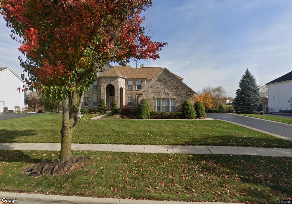
611 Brookside Ave Algonquin, IL 60102
Far West Algonquin NeighborhoodEstimated Value: $567,747 - $668,000
4
Beds
5
Baths
3,541
Sq Ft
$177/Sq Ft
Est. Value
About This Home
This home is located at 611 Brookside Ave, Algonquin, IL 60102 and is currently estimated at $626,687, approximately $176 per square foot. 611 Brookside Ave is a home located in McHenry County with nearby schools including Westfield Community School, Lincoln Prairie Elementary School, and Harry D Jacobs High School.
Ownership History
Date
Name
Owned For
Owner Type
Purchase Details
Closed on
May 6, 2005
Sold by
Purcell Russell J and Purcell Judith G
Bought by
Purcell Russell J and Purcell Judith G
Current Estimated Value
Purchase Details
Closed on
Oct 20, 2000
Sold by
Pulte Home Corp
Bought by
Purcell Russell J and Purcell Judith G
Home Financials for this Owner
Home Financials are based on the most recent Mortgage that was taken out on this home.
Original Mortgage
$170,000
Outstanding Balance
$61,953
Interest Rate
7.91%
Estimated Equity
$564,734
Create a Home Valuation Report for This Property
The Home Valuation Report is an in-depth analysis detailing your home's value as well as a comparison with similar homes in the area
Home Values in the Area
Average Home Value in this Area
Purchase History
| Date | Buyer | Sale Price | Title Company |
|---|---|---|---|
| Purcell Russell J | -- | None Available | |
| Purcell Russell J | $442,978 | First American |
Source: Public Records
Mortgage History
| Date | Status | Borrower | Loan Amount |
|---|---|---|---|
| Open | Purcell Russell J | $170,000 |
Source: Public Records
Tax History
| Year | Tax Paid | Tax Assessment Tax Assessment Total Assessment is a certain percentage of the fair market value that is determined by local assessors to be the total taxable value of land and additions on the property. | Land | Improvement |
|---|---|---|---|---|
| 2024 | -- | $174,814 | $29,744 | $145,070 |
| 2023 | -- | $156,349 | $26,602 | $129,747 |
| 2022 | $0 | $154,617 | $26,214 | $128,403 |
| 2021 | $0 | $144,044 | $24,421 | $119,623 |
| 2020 | $0 | $138,944 | $23,556 | $115,388 |
| 2019 | $0 | $132,986 | $22,546 | $110,440 |
| 2018 | $0 | $151,716 | $20,828 | $130,888 |
| 2017 | $0 | $142,926 | $19,621 | $123,305 |
| 2016 | $0 | $134,052 | $18,403 | $115,649 |
| 2013 | -- | $127,096 | $17,167 | $109,929 |
Source: Public Records
Map
Nearby Homes
- 601 Woods Creek Ln
- 16 Springbrook Ln
- 2660 Harnish Dr
- 3610 Lakeview Dr
- 3260 Nottingham Dr
- 4241 Wanderlust Dr
- 940 Treeline Dr
- 531 Alpine Dr
- 895 Eineke Blvd
- 3650 Wintergreen Terrace
- 4 Greenbrier Ct
- 432 Thunder Ridge
- 2930 Harnish Dr
- 2956 Harnish Dr
- 2380 Dawson Ln Unit 165
- 1157 Sawmill Ln
- 2612 Loren Ln Unit 293
- 305 Harvest Gate
- 1171 Kingsmill Dr
- 212 Rhinebeck Way
- 621 Brookside Ave
- 601 Brookside Ave
- 610 Brookside Ave
- 631 Brookside Ave
- 620 Brookside Ave
- 600 Brookside Ave
- 630 Brookside Ave
- 591 Brookside Ave
- 641 Brookside Ave
- 621 Saratoga Cir
- 611 Saratoga Cir
- 631 Saratoga Cir
- 640 Brookside Ave
- 581 Brookside Ave
- 641 Saratoga Cir
- 601 Saratoga Cir
- 651 Brookside Ave
- 651 Saratoga Cir
- 650 Brookside Ave
- 580 Brookside Ave
Your Personal Tour Guide
Ask me questions while you tour the home.