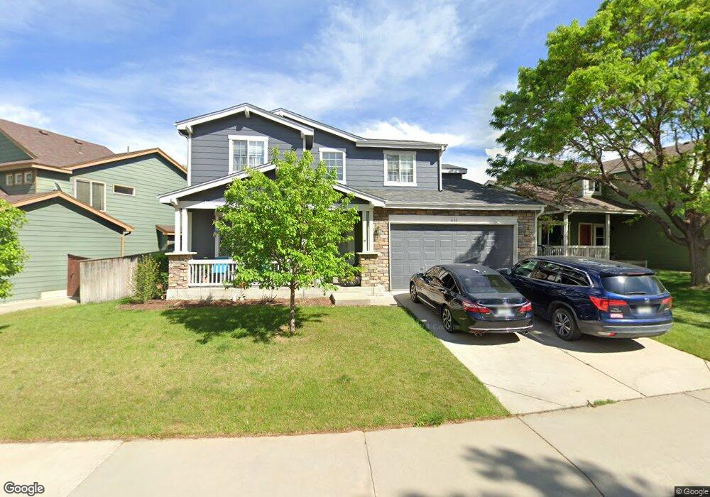
611 Clarendon Dr Longmont, CO 80504
East Side NeighborhoodEstimated Value: $633,038 - $707,000
6
Beds
4
Baths
3,299
Sq Ft
$205/Sq Ft
Est. Value
About This Home
This home is located at 611 Clarendon Dr, Longmont, CO 80504 and is currently estimated at $677,760, approximately $205 per square foot. 611 Clarendon Dr is a home located in Boulder County with nearby schools including Alpine Elementary School, Skyline High School, and Longmont Christian School.
Ownership History
Date
Name
Owned For
Owner Type
Purchase Details
Closed on
Mar 15, 2002
Sold by
Shaw David A and Shaw Christine C
Bought by
Wilsey Martin J and Wilsey Barbara A
Current Estimated Value
Home Financials for this Owner
Home Financials are based on the most recent Mortgage that was taken out on this home.
Original Mortgage
$259,165
Outstanding Balance
$107,879
Interest Rate
7.01%
Estimated Equity
$569,881
Purchase Details
Closed on
Apr 4, 2001
Sold by
Shaw David A
Bought by
Shaw David A and Shaw Christine C
Home Financials for this Owner
Home Financials are based on the most recent Mortgage that was taken out on this home.
Original Mortgage
$56,000
Interest Rate
6.93%
Purchase Details
Closed on
Feb 12, 1999
Sold by
Centex Homes
Bought by
Shaw David A
Home Financials for this Owner
Home Financials are based on the most recent Mortgage that was taken out on this home.
Original Mortgage
$185,100
Interest Rate
6.78%
Create a Home Valuation Report for This Property
The Home Valuation Report is an in-depth analysis detailing your home's value as well as a comparison with similar homes in the area
Home Values in the Area
Average Home Value in this Area
Purchase History
| Date | Buyer | Sale Price | Title Company |
|---|---|---|---|
| Wilsey Martin J | $304,900 | Land Title Guarantee Company | |
| Shaw David A | -- | -- | |
| Shaw David A | $205,697 | North American Title |
Source: Public Records
Mortgage History
| Date | Status | Borrower | Loan Amount |
|---|---|---|---|
| Open | Wilsey Martin J | $259,165 | |
| Previous Owner | Shaw David A | $56,000 | |
| Previous Owner | Shaw David A | $185,100 |
Source: Public Records
Tax History Compared to Growth
Tax History
| Year | Tax Paid | Tax Assessment Tax Assessment Total Assessment is a certain percentage of the fair market value that is determined by local assessors to be the total taxable value of land and additions on the property. | Land | Improvement |
|---|---|---|---|---|
| 2025 | $3,239 | $40,219 | $7,294 | $32,925 |
| 2024 | $3,239 | $40,219 | $7,294 | $32,925 |
| 2023 | $3,195 | $40,562 | $8,067 | $36,180 |
| 2022 | $2,644 | $33,673 | $6,130 | $27,543 |
| 2021 | $2,679 | $34,641 | $6,306 | $28,335 |
| 2020 | $2,358 | $31,425 | $5,792 | $25,633 |
| 2019 | $2,321 | $31,425 | $5,792 | $25,633 |
| 2018 | $2,028 | $28,555 | $5,832 | $22,723 |
| 2017 | $2,675 | $31,570 | $6,448 | $25,122 |
| 2016 | $2,488 | $26,030 | $7,244 | $18,786 |
| 2015 | $2,371 | $21,476 | $4,856 | $16,620 |
| 2014 | $2,006 | $21,476 | $4,856 | $16,620 |
Source: Public Records
Map
Nearby Homes
- 605 Saint Andrews Dr
- 1750 Preston Dr
- 1705 Preston Dr
- 653 Glenarbor Cir
- 508 Ashford Dr
- 665 Glenarbor Cir
- 2010 Glenarbor Ct
- 1761 Sunlight Dr
- 1703 Whitehall Dr Unit G
- 1703 Whitehall Dr Unit 3C
- 1703 Whitehall Dr Unit 10B
- 2100 Boise Ct
- 1534 Mount Evans Dr
- 1840 Red Cloud Rd
- 1830 Red Cloud Rd
- 2127 Astoria Ln
- 1455 Hilltop Dr
- 1711 Antero Dr
- 2144 Santa fe Dr
- 2295 French Cir
- 607 Clarendon Dr
- 615 Clarendon Dr
- 619 Clarendon Dr
- 603 Clarendon Dr
- 641 Penhurst Cir
- 606 Clarendon Dr
- 622 Clarendon Dr
- 610 Clarendon Dr
- 604 Saint Andrews Dr
- 602 Clarendon Dr
- 623 Clarendon Dr
- 614 Clarendon Dr
- 618 Clarendon Dr
- 645 Penhurst Cir
- 608 Saint Andrews Dr
- 552 Saint Andrews Dr
- 626 Clarendon Dr
- 601 Saint Andrews Dr
- 630 Clarendon Dr
- 612 Saint Andrews Dr