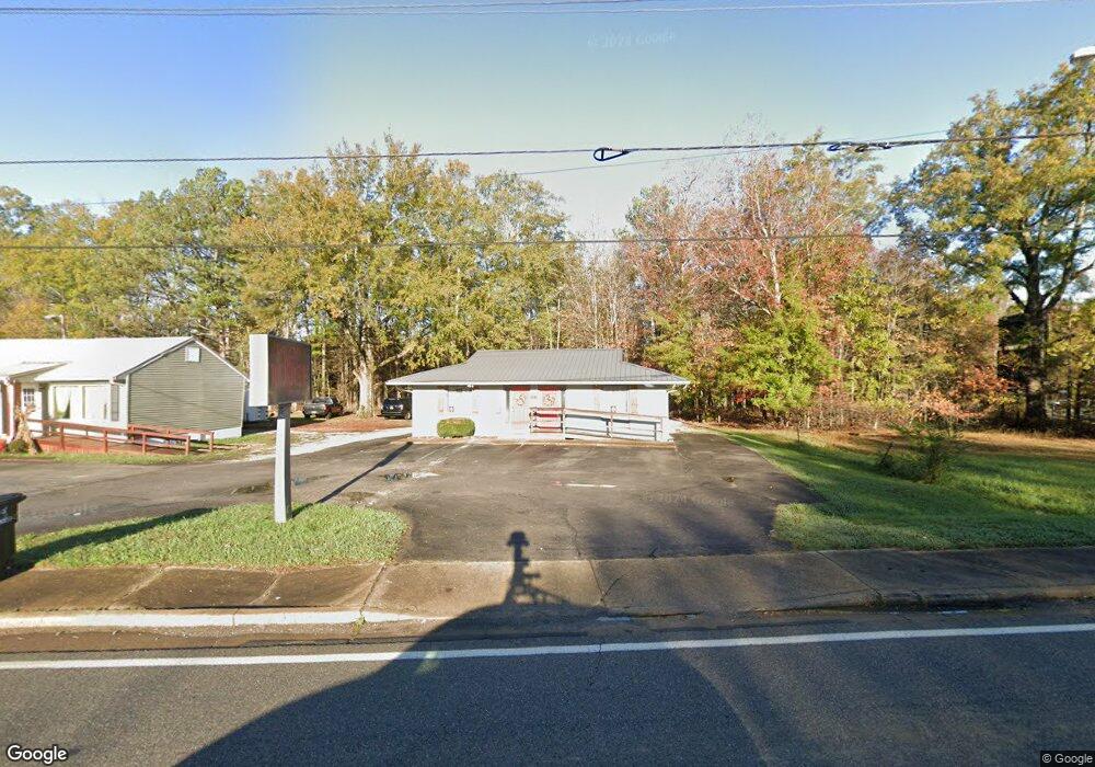
611 E Carroll St Tullahoma, TN 37388
Estimated Value: $188,033
Studio
1
Bath
1,120
Sq Ft
$168/Sq Ft
Est. Value
About This Home
This home is located at 611 E Carroll St, Tullahoma, TN 37388 and is currently estimated at $188,033, approximately $167 per square foot. 611 E Carroll St is a home located in Coffee County with nearby schools including Tullahoma High School, Tullahoma Christian Academy, and Highland Rim Christian Academy.
Ownership History
Date
Name
Owned For
Owner Type
Purchase Details
Closed on
Nov 16, 2016
Sold by
Crownover James Donald
Bought by
Mickle Edward and Mickle Victoria
Current Estimated Value
Home Financials for this Owner
Home Financials are based on the most recent Mortgage that was taken out on this home.
Original Mortgage
$68,000
Outstanding Balance
$54,472
Interest Rate
3.52%
Mortgage Type
Commercial
Estimated Equity
$133,561
Purchase Details
Closed on
Sep 14, 2006
Bought by
Crownover James Donald
Create a Home Valuation Report for This Property
The Home Valuation Report is an in-depth analysis detailing your home's value as well as a comparison with similar homes in the area
Purchase History
| Date | Buyer | Sale Price | Title Company |
|---|---|---|---|
| Mickle Edward | $85,000 | -- | |
| Crownover James Donald | -- | -- |
Source: Public Records
Mortgage History
| Date | Status | Borrower | Loan Amount |
|---|---|---|---|
| Open | Mickle Edward | $68,000 |
Source: Public Records
Tax History
| Year | Tax Paid | Tax Assessment Tax Assessment Total Assessment is a certain percentage of the fair market value that is determined by local assessors to be the total taxable value of land and additions on the property. | Land | Improvement |
|---|---|---|---|---|
| 2025 | $1,622 | $41,520 | $14,560 | $26,960 |
| 2024 | $1,622 | $41,520 | $14,560 | $26,960 |
| 2023 | $1,622 | $41,520 | $0 | $0 |
| 2022 | $1,665 | $41,520 | $14,560 | $26,960 |
| 2021 | $1,786 | $35,640 | $12,760 | $22,880 |
| 2020 | $1,786 | $35,640 | $12,760 | $22,880 |
| 2019 | $1,786 | $35,640 | $12,760 | $22,880 |
| 2018 | $1,786 | $35,640 | $12,760 | $22,880 |
| 2017 | $1,827 | $33,400 | $12,000 | $21,400 |
| 2016 | $1,827 | $33,400 | $12,000 | $21,400 |
| 2015 | $1,827 | $33,400 | $12,000 | $21,400 |
| 2014 | $1,827 | $33,391 | $0 | $0 |
Source: Public Records
Map
Nearby Homes
- 604 E Decherd St
- 604 E Warren St
- 312 Union St
- 502 E Monroe St
- 308 Union St
- 312 Gentry St
- 305 S Polk St
- 804 E Grundy St
- 412 E Grundy St
- 1101 E Lauderdale St
- 606 Rickenbacker Dr
- 604 E Moore St
- 710 SW Atlantic St
- 1200 Harton Blvd
- 302 N Polk St
- 300 Yeager St
- 805 E Grizzard St
- 406 N College St
- 215 N Washington St
- 0 Jackson St S Unit RTC3127915
- 607 E Carroll St
- 607 E Carroll Commercial Bldg
- 0 E Carroll St
- 604 E Carroll St
- 600 E Carroll St
- 603 General St
- 609 Division St
- 516 E Carroll St
- 620 E Decherd St
- 611 Division St
- 512 E Carroll St
- 700 E Decherd St
- 702 E Decherd St
- 706 E Decherd St
- 600 E Decherd St
- 515 General St
- 602 E Decherd St
- 513 General St
- 510 E Carroll St
- 507 E Carroll St
Your Personal Tour Guide
Ask me questions while you tour the home.