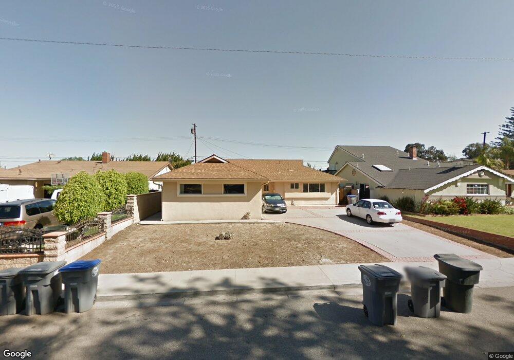
611 E Guava St Oxnard, CA 93033
Cal-Gisler NeighborhoodEstimated Value: $721,000 - $860,000
4
Beds
3
Baths
1,384
Sq Ft
$562/Sq Ft
Est. Value
About This Home
This home is located at 611 E Guava St, Oxnard, CA 93033 and is currently estimated at $777,697, approximately $561 per square foot. 611 E Guava St is a home located in Ventura County with nearby schools including Elm Street Elementary School, R.J. Frank Academy of Marine Science & Engineering, and Santa Clara High School.
Ownership History
Date
Name
Owned For
Owner Type
Purchase Details
Closed on
Aug 31, 2000
Sold by
Va
Bought by
Ledesma Gloria M
Current Estimated Value
Home Financials for this Owner
Home Financials are based on the most recent Mortgage that was taken out on this home.
Original Mortgage
$20,000
Interest Rate
7.98%
Create a Home Valuation Report for This Property
The Home Valuation Report is an in-depth analysis detailing your home's value as well as a comparison with similar homes in the area
Home Values in the Area
Average Home Value in this Area
Purchase History
| Date | Buyer | Sale Price | Title Company |
|---|---|---|---|
| Ledesma Gloria M | -- | First American Title Ins Co |
Source: Public Records
Mortgage History
| Date | Status | Borrower | Loan Amount |
|---|---|---|---|
| Closed | Ledesma Gloria M | $20,000 |
Source: Public Records
Tax History
| Year | Tax Paid | Tax Assessment Tax Assessment Total Assessment is a certain percentage of the fair market value that is determined by local assessors to be the total taxable value of land and additions on the property. | Land | Improvement |
|---|---|---|---|---|
| 2025 | $1,957 | $165,213 | $24,210 | $141,003 |
| 2024 | $1,957 | $161,974 | $23,735 | $138,239 |
| 2023 | $1,886 | $158,799 | $23,270 | $135,529 |
| 2022 | $1,828 | $155,686 | $22,814 | $132,872 |
| 2021 | $1,812 | $152,634 | $22,367 | $130,267 |
| 2020 | $1,844 | $151,071 | $22,139 | $128,932 |
| 2019 | $1,791 | $148,109 | $21,705 | $126,404 |
| 2018 | $1,765 | $145,206 | $21,280 | $123,926 |
| 2017 | $1,675 | $142,360 | $20,863 | $121,497 |
| 2016 | $1,616 | $139,569 | $20,454 | $119,115 |
| 2015 | $1,632 | $137,475 | $20,148 | $117,327 |
| 2014 | $1,613 | $134,784 | $19,754 | $115,030 |
Source: Public Records
Map
Nearby Homes
- 225 W Iris St
- 3130 Paula St
- 3151 Fournier St
- 1239 S C St
- 2151 E Wooley Rd
- 1127 S C St
- 2024 S J St
- 1928 San Benito St
- 865 S B St Unit Q1
- 819 S B St Unit 34
- 633 Meta St
- 860 Morro Way
- 3631 La Costa Place
- 360 Ibsen Place Unit 129
- 3638 S B St
- 1030 Ilena St
- 140 Gaviota Place Unit 157
- 4160 Petit Dr Unit 39
- 320 Columbia Place Unit 46
- 280 Columbia Place Unit 48
Your Personal Tour Guide
Ask me questions while you tour the home.