611 Feuerstein Rd Belding, MI 48809
Estimated Value: $272,909 - $477,000
5
Beds
1
Bath
2,334
Sq Ft
$149/Sq Ft
Est. Value
About This Home
This home is located at 611 Feuerstein Rd, Belding, MI 48809 and is currently estimated at $348,477, approximately $149 per square foot. 611 Feuerstein Rd is a home located in Ionia County with nearby schools including Woodview Elementary School, Ellis Elementary School, and Belding Middle School.
Ownership History
Date
Name
Owned For
Owner Type
Purchase Details
Closed on
Feb 25, 2014
Sold by
Albert Martin L and Albert Amy J
Bought by
Hulliberger Brett J and Hulliberger Elizabeth J
Current Estimated Value
Home Financials for this Owner
Home Financials are based on the most recent Mortgage that was taken out on this home.
Original Mortgage
$125,400
Outstanding Balance
$95,444
Interest Rate
4.45%
Mortgage Type
New Conventional
Estimated Equity
$253,033
Purchase Details
Closed on
Aug 14, 2003
Sold by
Perry Robert M and Perry Tina M
Bought by
Albert Martin L and Albert Amy J
Home Financials for this Owner
Home Financials are based on the most recent Mortgage that was taken out on this home.
Original Mortgage
$140,100
Interest Rate
6.18%
Mortgage Type
Purchase Money Mortgage
Create a Home Valuation Report for This Property
The Home Valuation Report is an in-depth analysis detailing your home's value as well as a comparison with similar homes in the area
Purchase History
| Date | Buyer | Sale Price | Title Company |
|---|---|---|---|
| Hulliberger Brett J | $132,000 | None Available | |
| Albert Martin L | $147,500 | Metropolitan Title Company |
Source: Public Records
Mortgage History
| Date | Status | Borrower | Loan Amount |
|---|---|---|---|
| Open | Hulliberger Brett J | $125,400 | |
| Previous Owner | Albert Martin L | $140,100 |
Source: Public Records
Tax History
| Year | Tax Paid | Tax Assessment Tax Assessment Total Assessment is a certain percentage of the fair market value that is determined by local assessors to be the total taxable value of land and additions on the property. | Land | Improvement |
|---|---|---|---|---|
| 2025 | $2,185 | $122,600 | $21,900 | $100,700 |
| 2024 | $9 | $122,600 | $21,900 | $100,700 |
| 2023 | $805 | $97,000 | $18,100 | $78,900 |
| 2022 | $767 | $97,000 | $18,100 | $78,900 |
| 2021 | $1,921 | $89,200 | $15,800 | $73,400 |
| 2020 | $736 | $89,200 | $15,800 | $73,400 |
| 2019 | $685 | $85,700 | $15,000 | $70,700 |
| 2018 | $1,864 | $73,000 | $13,800 | $59,200 |
| 2017 | $691 | $73,000 | $13,800 | $59,200 |
| 2016 | $685 | $63,600 | $12,100 | $51,500 |
| 2015 | -- | $63,600 | $12,100 | $51,500 |
| 2014 | -- | $53,200 | $12,100 | $41,100 |
Source: Public Records
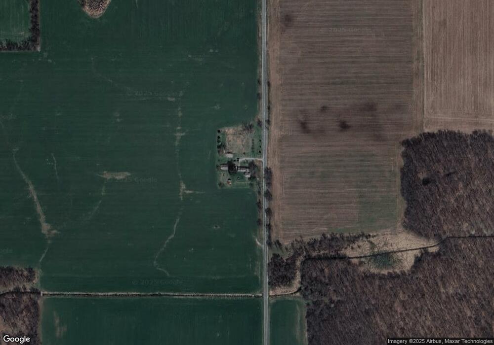
Map
Nearby Homes
- 107 Hawley Hwy
- 2020 Fallasburg Park Dr NE Unit 1
- 1954 Fallasburg Park Dr NE
- 1954 Fallasburg Park Dr NE Unit 4
- 14111 Thompson Dr NE
- 13461 Burroughs St NE
- 7430 Ingalls Rd
- 13164 Beckwith Dr NE
- 13940 Rolling Creek Dr
- 13875 Rolling Creek Dr
- VL Burroughs St NE
- 3101 Lincoln Lake Ave NE
- 12845 Triple Oak Unit 14
- 5210 Bluewater Hwy
- 12740 Triple Oak Dr NE
- 150 Main St
- 73 Mill St
- 1040 N Washington Rd
- 1040 N Washington St
- 6220 W Riverside Dr
- 960 Feuerstein Rd
- 9420 Richmond Rd
- 9550 Richmond Rd
- 9502 Richmond Rd
- 71 Feuerstein Rd
- 9643 Richmond Rd
- 8847 Richmond Rd
- 9730 Richmond Rd
- 0 Sparks Rd Unit 65013042366
- 0 Sparks Rd Unit M13042366
- 0 Sparks Rd Unit 65015049433
- 0 Sparks Rd Unit 15049433
- 0 Sparks Rd Unit LOT A
- 10250 Sparks Rd
- 0 Sparks Rd Unit APP 1 3375834
- 0 Sparks Rd Unit Parce 3245075
- 0 Sparks Rd Unit Parce
- 0 Richmond Rd Unit 1
- 10330 Richmond Rd Unit B
- 9500 Richmond Rd
Your Personal Tour Guide
Ask me questions while you tour the home.