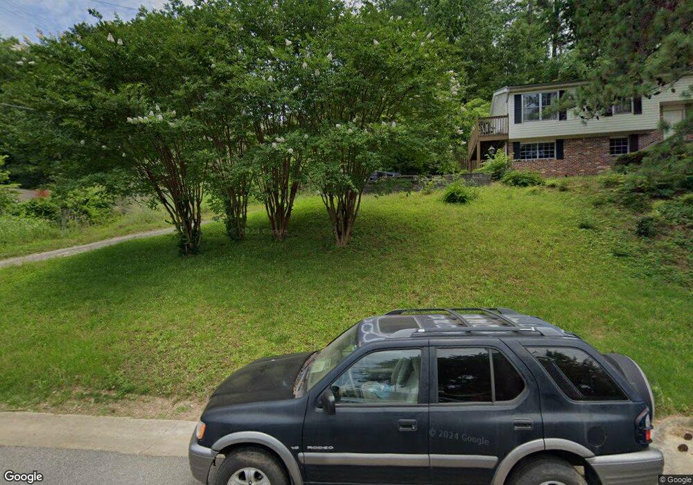
611 Forrest Dr Birmingham, AL 35209
Estimated Value: $614,535 - $669,000
3
Beds
2
Baths
1,778
Sq Ft
$366/Sq Ft
Est. Value
About This Home
This home is located at 611 Forrest Dr, Birmingham, AL 35209 and is currently estimated at $650,884, approximately $366 per square foot. 611 Forrest Dr is a home located in Jefferson County with nearby schools including Edgewood Elementary School, Homewood Middle School, and Homewood High School.
Ownership History
Date
Name
Owned For
Owner Type
Purchase Details
Closed on
Jun 17, 2016
Sold by
Love Geoffrey
Bought by
Simpson David B and Simpson Genta
Current Estimated Value
Home Financials for this Owner
Home Financials are based on the most recent Mortgage that was taken out on this home.
Original Mortgage
$300,912
Outstanding Balance
$239,571
Interest Rate
3.58%
Mortgage Type
New Conventional
Estimated Equity
$411,313
Purchase Details
Closed on
Nov 6, 2013
Sold by
Love David Wayne
Bought by
Love Love Geoffrey Geoffrey and Love Almond Glenna
Create a Home Valuation Report for This Property
The Home Valuation Report is an in-depth analysis detailing your home's value as well as a comparison with similar homes in the area
Home Values in the Area
Average Home Value in this Area
Purchase History
| Date | Buyer | Sale Price | Title Company |
|---|---|---|---|
| Simpson David B | $250,761 | -- | |
| Simpson David B | $376,141 | -- | |
| Love Love Geoffrey Geoffrey | -- | -- |
Source: Public Records
Mortgage History
| Date | Status | Borrower | Loan Amount |
|---|---|---|---|
| Open | Simpson David B | $300,912 |
Source: Public Records
Tax History Compared to Growth
Tax History
| Year | Tax Paid | Tax Assessment Tax Assessment Total Assessment is a certain percentage of the fair market value that is determined by local assessors to be the total taxable value of land and additions on the property. | Land | Improvement |
|---|---|---|---|---|
| 2024 | $3,858 | $52,380 | -- | -- |
| 2022 | $3,825 | $51,930 | $33,500 | $18,430 |
| 2021 | $3,477 | $47,300 | $33,500 | $13,800 |
| 2020 | $3,361 | $45,760 | $33,500 | $12,260 |
| 2019 | $3,279 | $44,660 | $0 | $0 |
| 2018 | $3,050 | $41,620 | $0 | $0 |
| 2017 | $2,778 | $37,980 | $0 | $0 |
| 2016 | $4,760 | $63,460 | $0 | $0 |
| 2015 | $4,760 | $63,460 | $0 | $0 |
| 2014 | $1,822 | $54,500 | $0 | $0 |
| 2013 | $1,822 | $54,500 | $0 | $0 |
Source: Public Records
Map
Nearby Homes
- 802 Wingate Cir
- 413 Berry Ave
- 411 Edgeland Place
- 417 Berry Ave
- 312 Westover Dr
- 517 Oxmoor Rd
- 136 Dixon Ave
- 200 Mecca Ave
- 213 Edgeview Ave Unit 10A
- 860 Beacon Pkwy E Unit 860
- 100 Acton Ave
- 211 Saint Charles St
- 334 Kenilworth Dr
- 1309 Roseland Dr
- 820 Saulter Rd
- 511 Kenilworth Dr
- 613 Greenhill Dr
- 831 Columbiana Rd
- 825 Sylvia Dr
- 401 Woodvale Ln
- 613 Forrest Dr
- 609 Forest Dr
- 609 Forrest Dr
- 200 Morris Blvd
- 202 Morris Blvd
- 607 Forest Dr
- 607 Forrest Dr
- 210 Morris Blvd
- 304 Lathrop Ave
- 214 Morris Blvd
- 306 Lathrop Ave
- 120 Morris Blvd
- 612 Forest Dr
- 614 Forrest Dr
- 616 Forrest Dr
- 308 Lathrop Ave
- 610 Forrest Dr
- 610 Forest Dr
- 605 Forrest Dr
- 118 Morris Blvd