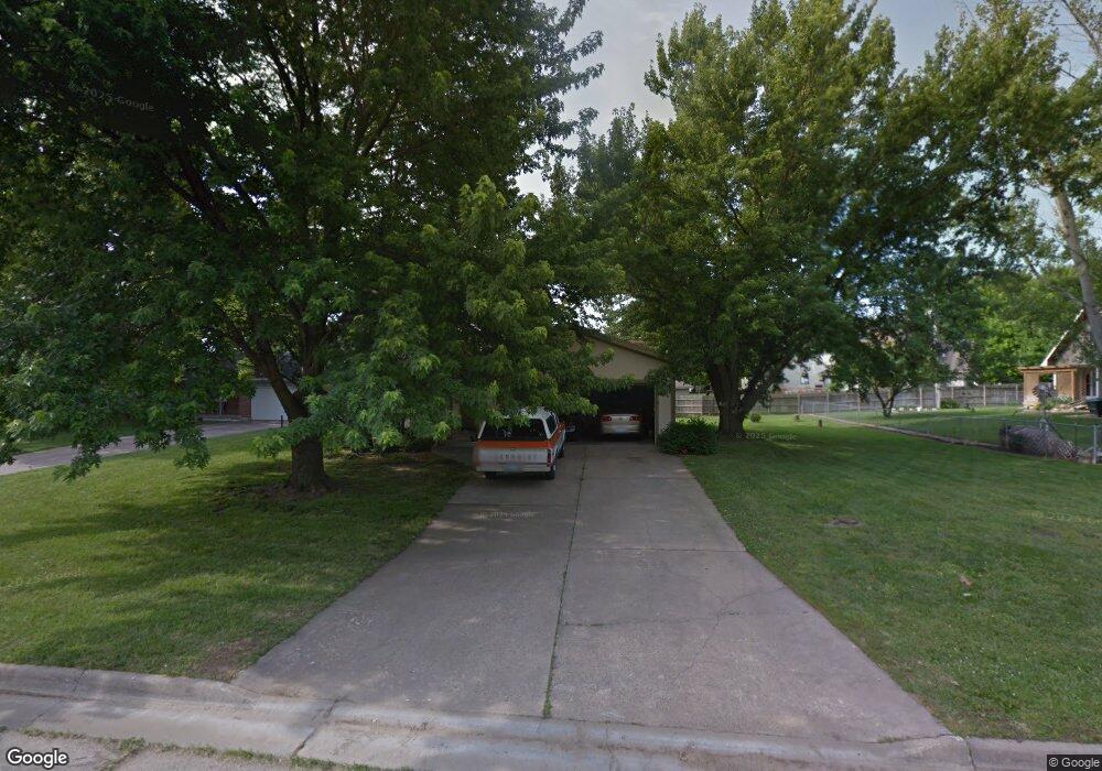
611 Griswold Ct Rossville, KS 66533
Estimated Value: $192,311 - $213,000
3
Beds
2
Baths
1,334
Sq Ft
$149/Sq Ft
Est. Value
About This Home
This home is located at 611 Griswold Ct, Rossville, KS 66533 and is currently estimated at $199,078, approximately $149 per square foot. 611 Griswold Ct is a home located in Shawnee County with nearby schools including Rossville Elementary School and Rossville Junior/Senior High School.
Ownership History
Date
Name
Owned For
Owner Type
Purchase Details
Closed on
Dec 20, 2021
Sold by
Gentry James L and Gentry Shari
Bought by
Brown Todd P and Brown Kelly A
Current Estimated Value
Home Financials for this Owner
Home Financials are based on the most recent Mortgage that was taken out on this home.
Original Mortgage
$116,000
Outstanding Balance
$106,661
Interest Rate
3.09%
Mortgage Type
Future Advance Clause Open End Mortgage
Estimated Equity
$92,417
Create a Home Valuation Report for This Property
The Home Valuation Report is an in-depth analysis detailing your home's value as well as a comparison with similar homes in the area
Home Values in the Area
Average Home Value in this Area
Purchase History
| Date | Buyer | Sale Price | Title Company |
|---|---|---|---|
| Brown Todd P | -- | Heartland Title Services Inc |
Source: Public Records
Mortgage History
| Date | Status | Borrower | Loan Amount |
|---|---|---|---|
| Open | Brown Todd P | $116,000 |
Source: Public Records
Tax History Compared to Growth
Tax History
| Year | Tax Paid | Tax Assessment Tax Assessment Total Assessment is a certain percentage of the fair market value that is determined by local assessors to be the total taxable value of land and additions on the property. | Land | Improvement |
|---|---|---|---|---|
| 2025 | $3,113 | $21,410 | -- | -- |
| 2023 | $3,113 | $20,083 | $0 | $0 |
| 2022 | $2,809 | $18,093 | $0 | $0 |
| 2021 | $2,556 | $16,154 | $0 | $0 |
| 2020 | $2,227 | $15,384 | $0 | $0 |
| 2019 | $2,196 | $14,792 | $0 | $0 |
| 2018 | $2,059 | $14,223 | $0 | $0 |
| 2017 | $2,068 | $13,944 | $0 | $0 |
| 2014 | $1,859 | $13,738 | $0 | $0 |
Source: Public Records
Map
Nearby Homes
- 354 Anderson St
- 611 Pearl St
- 321 W Perry St
- 117 N Main St
- 16037 U S 24
- 0000 NW Bailey Rd
- XXX NW Douglas Rd
- Lot 2 NW Douglas Rd
- Lot 1 NW Douglas Rd
- 00000 NW 86th St
- 308 Beaubein St
- 215 & 219 Main St
- 302 Sunset Ln
- Lot 2, Blk B SW 17th St
- Lot 3, Blk A SW Urish Rd
- 0000 NW 86th St
- 0000 NW 86th St Unit Lot 2
- 0000 NW 86th St Unit Lot 4
- 0000 NW 86th St Unit Lot 1
- 0000 NW 86th St Unit Lot 3
- 617 Griswold Ct
- 603 Griswold Ct
- 612 Griswold St
- 620 Griswold St
- 621 Griswold Ct
- 610 Griswold Ct
- 606 Griswold Ct
- XXXX Griswold St
- 622 Griswold Ct
- 614 Griswold Ct
- 602 Griswold Ct
- 618 Griswold Ct
- 615 Griswold St
- 619 Griswold St
- 628 Griswold St
- 629 Griswold St
- 609B Griswold St
- 623 Griswold St
- 619 Griswold St
- 609 Griswold St Unit A