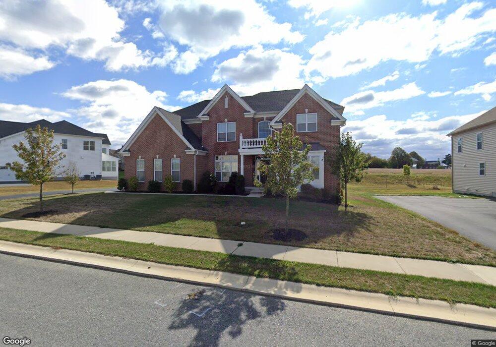
611 Highpointe Dr New Castle, DE 19720
Saint Georges NeighborhoodEstimated Value: $849,274 - $1,021,000
4
Beds
5
Baths
4,982
Sq Ft
$188/Sq Ft
Est. Value
About This Home
This home is located at 611 Highpointe Dr, New Castle, DE 19720 and is currently estimated at $937,425, approximately $188 per square foot. 611 Highpointe Dr is a home with nearby schools including Southern Elementary School, Gunning Bedford Middle School, and Aquinas Academy.
Ownership History
Date
Name
Owned For
Owner Type
Purchase Details
Closed on
Oct 18, 2016
Sold by
Toll De Lp
Bought by
Nicholson Moses R and Moses Thabital
Current Estimated Value
Home Financials for this Owner
Home Financials are based on the most recent Mortgage that was taken out on this home.
Original Mortgage
$117,000
Outstanding Balance
$94,182
Interest Rate
3.42%
Mortgage Type
Credit Line Revolving
Estimated Equity
$843,243
Create a Home Valuation Report for This Property
The Home Valuation Report is an in-depth analysis detailing your home's value as well as a comparison with similar homes in the area
Home Values in the Area
Average Home Value in this Area
Purchase History
| Date | Buyer | Sale Price | Title Company |
|---|---|---|---|
| Nicholson Moses R | -- | None Available |
Source: Public Records
Mortgage History
| Date | Status | Borrower | Loan Amount |
|---|---|---|---|
| Open | Nicholson Moses R | $117,000 | |
| Open | Nicholson Moses R | $409,500 |
Source: Public Records
Tax History Compared to Growth
Tax History
| Year | Tax Paid | Tax Assessment Tax Assessment Total Assessment is a certain percentage of the fair market value that is determined by local assessors to be the total taxable value of land and additions on the property. | Land | Improvement |
|---|---|---|---|---|
| 2024 | $6,622 | $190,400 | $13,600 | $176,800 |
| 2023 | $6,052 | $190,400 | $13,600 | $176,800 |
| 2022 | $6,303 | $190,400 | $13,600 | $176,800 |
| 2021 | $6,300 | $190,400 | $13,600 | $176,800 |
| 2020 | $6,340 | $190,400 | $13,600 | $176,800 |
| 2019 | $6,753 | $190,400 | $13,600 | $176,800 |
| 2018 | $6,238 | $190,400 | $13,600 | $176,800 |
| 2017 | $5,844 | $190,400 | $13,600 | $176,800 |
| 2016 | $185 | $7,100 | $7,100 | $0 |
| 2015 | -- | $7,100 | $7,100 | $0 |
| 2014 | $185 | $7,100 | $7,100 | $0 |
Source: Public Records
Map
Nearby Homes
- 1119 Casey Dr
- 1049 Matthew Way
- 1225 Caitlin Way
- 31 Crestpoint Dr
- 6 Delaware St
- 2159 Mccoy Rd
- 1902 Mccoy Rd
- 402 Derrytown Dr
- 4010 Kirkwood Saint Georges Rd
- 102 Parker Dr
- 35 N Dragon Dr
- 300 Fenn Ct
- 348 Starboard Dr
- 319 Pheasant Dr
- 8 Tamar Ct
- 210 Olivia Way
- 121 Willow Oak Blvd
- 325 Howell School Rd
- 1011 Stuyvesant St
- 616 Clifton Dr
- 613 Highpointe Dr
- 500 Clubhouse Ct
- 612 Highpointe Dr
- 615 Highpointe Dr
- 502 Clubhouse Ct
- 401 Kathryn Ct
- 614 Highpointe Dr
- 504 Clubhouse Ct
- 403 Kathryn Ct
- 400 Kathryn Ct
- 405 Kathryn Ct
- 402 Kathryn Ct
- 619 Highpointe Dr
- 604 Highpointe Dr
- 618 Highpointe Dr
- 404 Kathryn Ct
- 40 S Dupont Hwy
- 407 Kathryn Ct
- 621 Highpointe Dr
- 406 Kathryn Ct