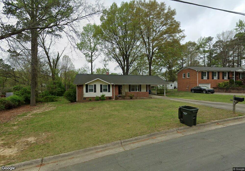
611 Mimosa St Durham, NC 27703
East Durham NeighborhoodEstimated Value: $237,000 - $272,000
3
Beds
2
Baths
1,093
Sq Ft
$233/Sq Ft
Est. Value
About This Home
This home is located at 611 Mimosa St, Durham, NC 27703 and is currently estimated at $254,214, approximately $232 per square foot. 611 Mimosa St is a home located in Durham County with nearby schools including Y E Smith Elementary, W.G. Pearson Elementary School, and Brogden Middle.
Ownership History
Date
Name
Owned For
Owner Type
Purchase Details
Closed on
Jun 15, 2009
Sold by
U S Bank National Association
Bought by
Johnson Charles E and Wall Johnson Benita
Current Estimated Value
Purchase Details
Closed on
Jan 6, 2009
Sold by
Watkins Annette C
Bought by
U S Bank National Association
Purchase Details
Closed on
May 5, 2000
Sold by
Watkins Jeffrey
Bought by
Watkins Annette C
Home Financials for this Owner
Home Financials are based on the most recent Mortgage that was taken out on this home.
Original Mortgage
$64,400
Interest Rate
12.24%
Create a Home Valuation Report for This Property
The Home Valuation Report is an in-depth analysis detailing your home's value as well as a comparison with similar homes in the area
Home Values in the Area
Average Home Value in this Area
Purchase History
| Date | Buyer | Sale Price | Title Company |
|---|---|---|---|
| Johnson Charles E | $50,000 | None Available | |
| U S Bank National Association | $47,200 | None Available | |
| Watkins Annette C | -- | -- |
Source: Public Records
Mortgage History
| Date | Status | Borrower | Loan Amount |
|---|---|---|---|
| Previous Owner | Watkins Annette C | $64,400 |
Source: Public Records
Tax History
| Year | Tax Paid | Tax Assessment Tax Assessment Total Assessment is a certain percentage of the fair market value that is determined by local assessors to be the total taxable value of land and additions on the property. | Land | Improvement |
|---|---|---|---|---|
| 2025 | $2,664 | $268,722 | $105,750 | $162,972 |
| 2024 | $1,863 | $133,542 | $21,150 | $112,392 |
| 2023 | $1,749 | $133,542 | $21,150 | $112,392 |
| 2022 | $1,709 | $133,542 | $21,150 | $112,392 |
| 2021 | $1,705 | $133,842 | $21,450 | $112,392 |
| 2020 | $1,665 | $133,842 | $21,450 | $112,392 |
| 2019 | $1,665 | $133,842 | $21,450 | $112,392 |
| 2018 | $1,382 | $101,858 | $24,797 | $77,061 |
| 2017 | $1,372 | $101,858 | $24,797 | $77,061 |
| 2016 | $1,325 | $101,858 | $24,797 | $77,061 |
| 2015 | $1,575 | $113,794 | $28,500 | $85,294 |
| 2014 | $1,575 | $113,794 | $28,500 | $85,294 |
Source: Public Records
Map
Nearby Homes
- 1147 Delano St
- 1116 Delano St
- 681 Muldee St
- 1609 Juniper St
- 1606C Juniper St
- 1606 Juniper St
- 1606D Juniper St
- 1605 Kilmer Terrace
- 1139 N Miami Blvd
- 1505 Juniper St
- 1124 E Geer St
- 1501 Fairfax Rd
- 525 N Hoover Rd
- 1410 Braxton St
- 1525 N Miami Blvd
- 1004 Park Ave
- 212 Southerland St
- 2015 Cheek Rd
- 1601 Lathrop St
- 1113 N Driver St
Your Personal Tour Guide
Ask me questions while you tour the home.