Estimated Value: $154,000 - $161,048
2
Beds
1
Bath
1,200
Sq Ft
$132/Sq Ft
Est. Value
About This Home
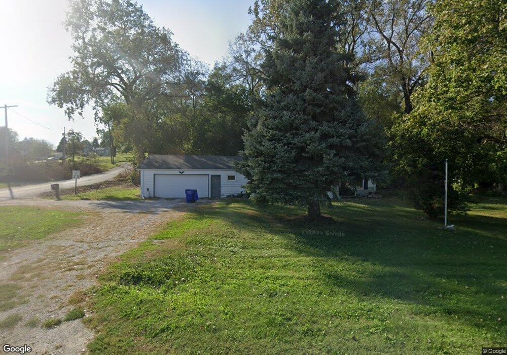
This home is located at 611 N 2nd Ave, Logan, IA 51546 and is currently estimated at $158,512, approximately $132 per square foot. 611 N 2nd Ave is a home located in Harrison County with nearby schools including Logan-Magnolia Elementary School and Logan-Magnolia Junior/Senior High School.
Ownership History
Date
Name
Owned For
Owner Type
Purchase Details
Closed on
Oct 21, 2010
Sold by
Gochenour Daniel F
Bought by
Clark Delores L
Current Estimated Value
Home Financials for this Owner
Home Financials are based on the most recent Mortgage that was taken out on this home.
Original Mortgage
$90,000
Outstanding Balance
$59,269
Interest Rate
4.31%
Mortgage Type
New Conventional
Estimated Equity
$99,243
Create a Home Valuation Report for This Property
The Home Valuation Report is an in-depth analysis detailing your home's value as well as a comparison with similar homes in the area
Purchase History
| Date | Buyer | Sale Price | Title Company |
|---|---|---|---|
| Clark Delores L | $82,500 | None Available |
Source: Public Records
Mortgage History
| Date | Status | Borrower | Loan Amount |
|---|---|---|---|
| Open | Clark Delores L | $90,000 |
Source: Public Records
Tax History
| Year | Tax Paid | Tax Assessment Tax Assessment Total Assessment is a certain percentage of the fair market value that is determined by local assessors to be the total taxable value of land and additions on the property. | Land | Improvement |
|---|---|---|---|---|
| 2025 | $1,899 | $138,170 | $22,460 | $115,710 |
| 2024 | $1,894 | $126,490 | $22,460 | $104,030 |
| 2023 | $1,822 | $126,490 | $22,460 | $104,030 |
| 2022 | $1,659 | $97,166 | $22,461 | $74,705 |
| 2021 | $1,659 | $97,166 | $22,461 | $74,705 |
| 2020 | $1,499 | $91,058 | $22,461 | $68,597 |
| 2019 | $1,462 | $91,058 | $22,461 | $68,597 |
| 2018 | $1,428 | $84,801 | $0 | $0 |
| 2017 | $1,428 | $84,801 | $0 | $0 |
| 2016 | $1,496 | $84,801 | $0 | $0 |
| 2015 | $1,496 | $76,397 | $0 | $0 |
| 2014 | $1,280 | $76,397 | $0 | $0 |
Source: Public Records
Map
Nearby Homes
- 217 N 2nd Ave
- 120 W 6th St
- 1010 Skyline Dr
- 114 E 10th St
- Lot 18 Mulligan Trail
- 2144 Norton Ave
- LOT 27 Mulligan Trail
- LOT 26 Lmvcc Estates
- 2464 Mulligan Trail
- LOT 20 Lmvcc Estates
- LOT 17 Lmvcc Estates
- LOT 15 Mulligan Trail
- 2853 Preston Place
- TBD Preston Place 3 Parcels
- TBD Preston Place 2 Parcels
- LOTS 5 & 6 Fieldcrest Dr
- LOT D Fieldcrest Dr
- LOT 9 & 10 Fieldcrest Dr
- LOT E & K Fieldcrest Dr
- LOT C Fieldcrest Dr
Your Personal Tour Guide
Ask me questions while you tour the home.