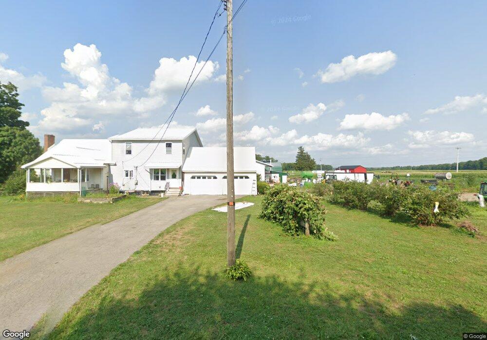
611 N Summit Rd Jamestown, PA 16134
Estimated Value: $84,581 - $258,000
--
Bed
--
Bath
1,216
Sq Ft
$145/Sq Ft
Est. Value
About This Home
This home is located at 611 N Summit Rd, Jamestown, PA 16134 and is currently estimated at $176,395, approximately $145 per square foot. 611 N Summit Rd is a home located in Mercer County with nearby schools including Jamestown Area Elementary School and Jamestown Area Junior/Senior High School.
Ownership History
Date
Name
Owned For
Owner Type
Purchase Details
Closed on
Jul 25, 2005
Sold by
Higham Robert M and Higham Karen M
Bought by
Shrock John D
Current Estimated Value
Home Financials for this Owner
Home Financials are based on the most recent Mortgage that was taken out on this home.
Original Mortgage
$82,800
Interest Rate
5.59%
Mortgage Type
New Conventional
Create a Home Valuation Report for This Property
The Home Valuation Report is an in-depth analysis detailing your home's value as well as a comparison with similar homes in the area
Home Values in the Area
Average Home Value in this Area
Purchase History
| Date | Buyer | Sale Price | Title Company |
|---|---|---|---|
| Shrock John D | $92,000 | None Available |
Source: Public Records
Mortgage History
| Date | Status | Borrower | Loan Amount |
|---|---|---|---|
| Closed | Shrock John D | $82,800 |
Source: Public Records
Tax History Compared to Growth
Tax History
| Year | Tax Paid | Tax Assessment Tax Assessment Total Assessment is a certain percentage of the fair market value that is determined by local assessors to be the total taxable value of land and additions on the property. | Land | Improvement |
|---|---|---|---|---|
| 2025 | $2,134 | $22,350 | $3,150 | $19,200 |
| 2024 | $2,134 | $22,350 | $3,150 | $19,200 |
| 2023 | $2,097 | $22,350 | $3,150 | $19,200 |
| 2022 | $2,091 | $22,350 | $3,150 | $19,200 |
| 2021 | $2,102 | $22,350 | $3,150 | $19,200 |
| 2020 | $2,068 | $22,350 | $3,150 | $19,200 |
| 2019 | $1,732 | $19,100 | $3,150 | $15,950 |
| 2018 | $1,528 | $17,100 | $3,150 | $13,950 |
| 2017 | $1,531 | $17,100 | $3,150 | $13,950 |
| 2016 | -- | $17,100 | $3,150 | $13,950 |
| 2015 | -- | $17,100 | $3,150 | $13,950 |
| 2014 | -- | $17,100 | $3,150 | $13,950 |
Source: Public Records
Map
Nearby Homes
- 270 W Marley Rd
- 0 Kinsman Rd
- 9591 Kinsman Pymatuning Rd
- 2629 River Dr
- 8797 Delin Thomas Rd
- 3467 Douthett Dr
- 6563 County Line Rd
- 2860 N 2nd St
- 00 Rd
- 2975 N 1st St
- 3717 Douthett Dr
- 0 US Hwy 322 Unit 1732289
- Lot 19 Aspen Way
- 201 Douthett Dr
- 310 Depot St
- 171 N Maysville Rd
- 982-983 Peach Dr
- 3277 E Lake Rd
- 404 Scipio St
- 2740 Maple Ln
- 573 Kinsman Rd
- 622 N Summit Rd
- 552 Kinsman Rd
- 603 Kinsman Rd
- 607 Kinsman Rd
- 651 N Summit Rd
- 567 N Summit Rd
- 566 N Summit Rd
- 659 N Summit Rd
- 122 Smith Rd
- 510 Kinsman Rd
- 665 N Summit Rd
- 500 Kinsman Rd
- 491 Kinsman Rd
- 557 N Summit Rd
- 674 N Summit Rd
- 155 Smith Rd
- 155 Smith Rd
- 546 N Summit Rd
- 415 Dowling Rd