611 Sangreal Ct Unit 611 Mantua, NJ 08051
Mantua Township NeighborhoodEstimated Value: $297,000 - $349,000
--
Bed
--
Bath
1,680
Sq Ft
$195/Sq Ft
Est. Value
About This Home
This home is located at 611 Sangreal Ct Unit 611, Mantua, NJ 08051 and is currently estimated at $327,449, approximately $194 per square foot. 611 Sangreal Ct Unit 611 is a home located in Gloucester County with nearby schools including J. Mason Tomlin Elementary School, Centre City School, and Clearview Regional Middle School.
Ownership History
Date
Name
Owned For
Owner Type
Purchase Details
Closed on
Mar 6, 2023
Sold by
Kaelin-Watts Catherine
Bought by
Kaelin-Watts Catherine
Current Estimated Value
Purchase Details
Closed on
Sep 14, 2007
Sold by
Febres Samuel A and Horn Febres Nicole
Bought by
Watts William A and Kaelin Watts Catherine
Home Financials for this Owner
Home Financials are based on the most recent Mortgage that was taken out on this home.
Original Mortgage
$100,000
Interest Rate
6.63%
Mortgage Type
Purchase Money Mortgage
Purchase Details
Closed on
Aug 28, 1998
Sold by
Nvr Homes Inc
Bought by
Horn Nicole
Home Financials for this Owner
Home Financials are based on the most recent Mortgage that was taken out on this home.
Original Mortgage
$117,000
Interest Rate
6.9%
Mortgage Type
FHA
Create a Home Valuation Report for This Property
The Home Valuation Report is an in-depth analysis detailing your home's value as well as a comparison with similar homes in the area
Home Values in the Area
Average Home Value in this Area
Purchase History
| Date | Buyer | Sale Price | Title Company |
|---|---|---|---|
| Kaelin-Watts Catherine | -- | -- | |
| Kaelin-Watts Catherine | -- | None Listed On Document | |
| Watts William A | $218,000 | Commonwealth Land Title Insu | |
| Horn Nicole | $120,290 | Title America Agency Corp |
Source: Public Records
Mortgage History
| Date | Status | Borrower | Loan Amount |
|---|---|---|---|
| Previous Owner | Watts William A | $100,000 | |
| Previous Owner | Horn Nicole | $117,000 |
Source: Public Records
Tax History Compared to Growth
Tax History
| Year | Tax Paid | Tax Assessment Tax Assessment Total Assessment is a certain percentage of the fair market value that is determined by local assessors to be the total taxable value of land and additions on the property. | Land | Improvement |
|---|---|---|---|---|
| 2025 | $6,649 | $258,200 | $50,000 | $208,200 |
| 2024 | $6,579 | $258,200 | $50,000 | $208,200 |
| 2023 | $6,579 | $258,200 | $50,000 | $208,200 |
| 2022 | $6,800 | $194,400 | $40,000 | $154,400 |
| 2021 | $6,360 | $194,400 | $40,000 | $154,400 |
| 2020 | $6,796 | $194,400 | $40,000 | $154,400 |
| 2019 | $6,682 | $194,400 | $40,000 | $154,400 |
| 2018 | $6,586 | $194,400 | $40,000 | $154,400 |
| 2017 | $6,487 | $194,400 | $40,000 | $154,400 |
| 2016 | $6,413 | $194,400 | $40,000 | $154,400 |
| 2015 | $6,256 | $194,400 | $40,000 | $154,400 |
| 2014 | $6,046 | $194,400 | $40,000 | $154,400 |
Source: Public Records
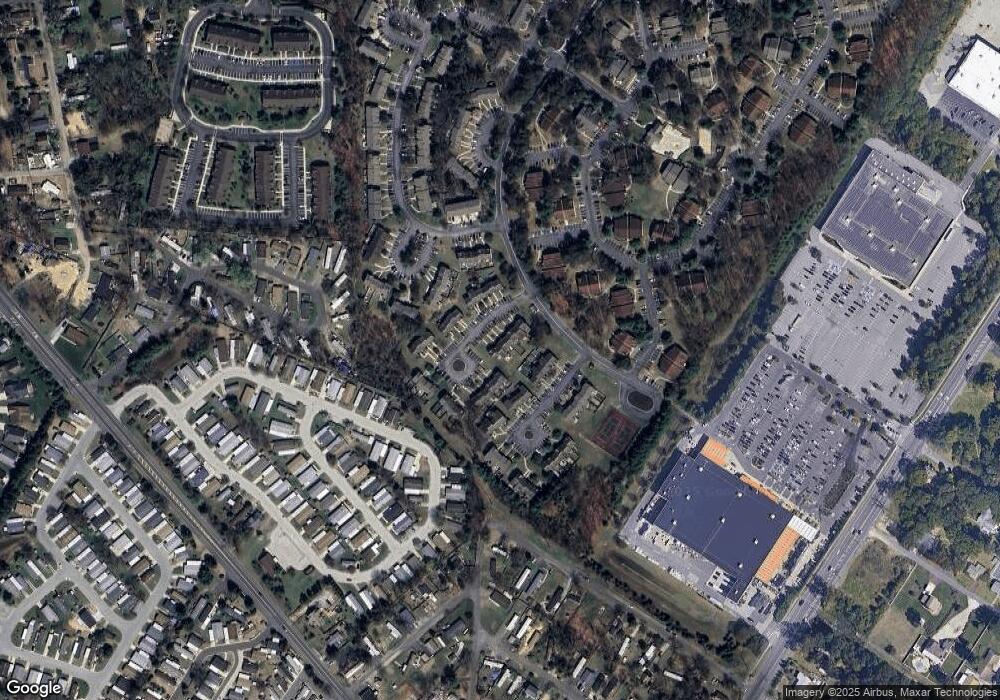
Map
Nearby Homes
- 1433 Tristram Cir
- 1363 Tristram Cir Unit 1363
- 204 W Landing Rd
- 325 Bridgeton Pike
- 19 Marathon Dr
- 485 Harrison Ave
- 36 Bluebird Rd
- 1147 Tristram Cir Unit 1147
- 131 Firth Dr
- 1145 Tristram Cir
- 205 Redbud Ln Unit 205
- 1215 Tristram Cir
- 119 Monroe Ave
- 1134 Tristram Cir Unit 4
- 433 Berkley Rd
- 155 Whippoorwill Way
- 1121 Tristram Cir Unit 1
- 177 W Elm Ave
- 590 Bridgeton Pike
- 75 Hickory Ave
- 609 Sangreal Ct Unit 609
- 613 Sangreal Ct Unit 613
- 607 Sangreal Ct Unit 607
- 605 Sangreal Ct Unit 605
- 615 Sangreal Ct Unit 615
- 603 Sangreal Ct Unit 603
- 617 Sangreal Ct
- 601 Sangreal Ct Unit 601
- 619 Sangreal Ct Unit 619
- 621 Sangreal Ct Unit 621
- 704 Quest Ct Unit 704
- 706 Quest Ct Unit 706
- 712 Quest Ct Unit 712
- 708 Quest Ct Unit 708
- 710 Quest Ct
- 702 Quest Ct Unit 702
- 612 Sangreal Ct Unit 612
- 700 Quest Ct Unit 700
- 614 Sangreal Ct Unit 614
- 623 Sangreal Ct Unit 623