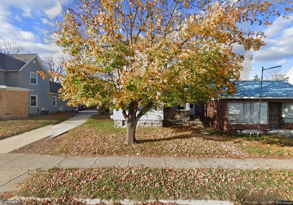
611 W Main St Lowell, MI 49331
Estimated Value: $263,000 - $314,000
4
Beds
2
Baths
1,852
Sq Ft
$153/Sq Ft
Est. Value
About This Home
This home is located at 611 W Main St, Lowell, MI 49331 and is currently estimated at $284,212, approximately $153 per square foot. 611 W Main St is a home with nearby schools including Bushnell Elementary School, Cherry Creek Elementary School, and Lowell Middle School.
Ownership History
Date
Name
Owned For
Owner Type
Purchase Details
Closed on
May 21, 2003
Sold by
Childress Mildred T
Bought by
Atloft Jeffrey L and Atloft Elizabeth A
Current Estimated Value
Home Financials for this Owner
Home Financials are based on the most recent Mortgage that was taken out on this home.
Original Mortgage
$70,000
Outstanding Balance
$30,246
Interest Rate
5.71%
Mortgage Type
Commercial
Estimated Equity
$253,966
Purchase Details
Closed on
May 11, 1999
Bought by
Tickfer Elizabeth and Altoft Jeffrey L
Purchase Details
Closed on
Jul 1, 1983
Bought by
Altoft Tickfer and Altoft Jeffrey L
Create a Home Valuation Report for This Property
The Home Valuation Report is an in-depth analysis detailing your home's value as well as a comparison with similar homes in the area
Home Values in the Area
Average Home Value in this Area
Purchase History
| Date | Buyer | Sale Price | Title Company |
|---|---|---|---|
| Atloft Jeffrey L | $27,000 | Michigan Title Company | |
| Tickfer Elizabeth | $95,000 | -- | |
| Altoft Tickfer | $39,000 | -- |
Source: Public Records
Mortgage History
| Date | Status | Borrower | Loan Amount |
|---|---|---|---|
| Open | Atloft Jeffrey L | $70,000 |
Source: Public Records
Tax History Compared to Growth
Tax History
| Year | Tax Paid | Tax Assessment Tax Assessment Total Assessment is a certain percentage of the fair market value that is determined by local assessors to be the total taxable value of land and additions on the property. | Land | Improvement |
|---|---|---|---|---|
| 2025 | $3,326 | $136,200 | $0 | $0 |
| 2024 | $3,326 | $131,000 | $0 | $0 |
| 2023 | $3,176 | $122,000 | $0 | $0 |
| 2022 | $3,704 | $93,600 | $0 | $0 |
| 2021 | $3,604 | $83,300 | $0 | $0 |
| 2020 | $2,901 | $75,100 | $0 | $0 |
| 2019 | $3,514 | $71,900 | $0 | $0 |
| 2018 | $3,728 | $79,900 | $0 | $0 |
| 2017 | $3,637 | $75,100 | $0 | $0 |
| 2016 | $3,542 | $77,600 | $0 | $0 |
| 2015 | -- | $77,600 | $0 | $0 |
| 2013 | -- | $73,700 | $0 | $0 |
Source: Public Records
Map
Nearby Homes
- 521 Spring St
- 216 W Main St Unit 6
- 510 N Hudson St SE
- 780 Bowes Rd
- 913 Clark St Unit 7
- 220 King St Unit 10
- 220 King St Unit 6
- 725 N Lafayette St SE
- 414 N Jefferson St
- 610 Birchwood Ct SE
- 1550 Carol Lynne Dr
- 325 S Division St
- 13100 Grand River Dr SE
- 913 N Monroe St
- 1800 W Main St Unit 102
- 926 N Washington St
- 1060 N Washington St
- 1212 Highland Hill Unit 30
- 1080 N Washington St SE
- Cedarwood Plan at Flat River Estates
- 617 W Main St
- 601 W Main St
- 623 W Main St
- 124 Amity St
- 124 Amity St
- 503 & 513 W Main St
- 120 Smith St
- 10715 Fulton St E
- 11899 Fulton St E Unit 441
- 14273 Fulton St E
- 516 W Main St
- 114 Smith St
- 521 Chatham St
- 517 Chatham St
- 204 Lincoln Lake
- 204 Brook St
- 221 Amity St
- 524 Ottawa St
- 204 Lincoln Lake
- 212 Lincoln Lake