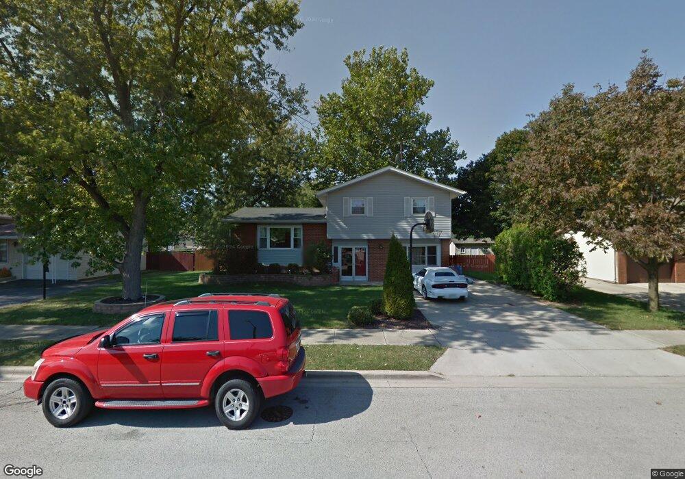
611 Westnedge Rd Joliet, IL 60435
Southwest Joliet NeighborhoodEstimated Value: $268,385 - $313,000
3
Beds
2
Baths
1,992
Sq Ft
$147/Sq Ft
Est. Value
About This Home
This home is located at 611 Westnedge Rd, Joliet, IL 60435 and is currently estimated at $292,096, approximately $146 per square foot. 611 Westnedge Rd is a home located in Will County with nearby schools including Thomas Jefferson Elementary School, Hufford Junior High School, and Joliet West High School.
Ownership History
Date
Name
Owned For
Owner Type
Purchase Details
Closed on
Feb 17, 2004
Sold by
Mccanna William J and Mccanna Kathleen M
Bought by
Tellez Jose and Tellez Aracelli
Current Estimated Value
Home Financials for this Owner
Home Financials are based on the most recent Mortgage that was taken out on this home.
Original Mortgage
$149,651
Outstanding Balance
$70,819
Interest Rate
5.96%
Mortgage Type
FHA
Estimated Equity
$221,277
Create a Home Valuation Report for This Property
The Home Valuation Report is an in-depth analysis detailing your home's value as well as a comparison with similar homes in the area
Home Values in the Area
Average Home Value in this Area
Purchase History
| Date | Buyer | Sale Price | Title Company |
|---|---|---|---|
| Tellez Jose | $152,000 | First American Title |
Source: Public Records
Mortgage History
| Date | Status | Borrower | Loan Amount |
|---|---|---|---|
| Open | Tellez Jose | $149,651 |
Source: Public Records
Tax History Compared to Growth
Tax History
| Year | Tax Paid | Tax Assessment Tax Assessment Total Assessment is a certain percentage of the fair market value that is determined by local assessors to be the total taxable value of land and additions on the property. | Land | Improvement |
|---|---|---|---|---|
| 2024 | $6,184 | $81,830 | $19,122 | $62,708 |
| 2023 | $6,184 | $72,706 | $16,990 | $55,716 |
| 2022 | $5,520 | $65,768 | $15,369 | $50,399 |
| 2021 | $5,209 | $61,425 | $14,354 | $47,071 |
| 2020 | $4,914 | $58,334 | $13,632 | $44,702 |
| 2019 | $4,633 | $54,214 | $12,669 | $41,545 |
| 2018 | $4,394 | $50,096 | $11,707 | $38,389 |
| 2017 | $4,085 | $45,546 | $10,644 | $34,902 |
| 2016 | $3,860 | $41,913 | $9,758 | $32,155 |
| 2015 | $3,664 | $39,300 | $9,150 | $30,150 |
| 2014 | $3,664 | $39,100 | $9,100 | $30,000 |
| 2013 | $3,664 | $41,167 | $10,120 | $31,047 |
Source: Public Records
Map
Nearby Homes
- 609 Bethel Dr
- 2319 Taylor St
- 620 Tana Ln
- 803 Magnolia Dr
- 805 Cypress Ln
- 2222 Taylor St
- 2211 Black Rd
- 2225 W Acres Rd
- 712 Homestead Place
- 2116 Black Rd
- 406 Madison St
- 2602 Glenwood Ave
- 509 Apollo Dr
- 2604 Caddy Ln
- 601 Fairlane Dr
- 910 Sudbury Dr
- 2604 Fairway Dr
- 2602 Fairway Dr
- 2858 Arden Place
- 378 Brink Dr
- 609 Westnedge Rd
- 615 Westnedge Rd
- 607 Westnedge Rd
- 606 Westnedge Rd
- 610 Westnedge Rd
- 620 Kungs Way
- 604 Westnedge Rd
- 624 Kungs Way
- 612 Westnedge Rd
- 605 Westnedge Rd
- 614 Westnedge Rd
- 602 Westnedge Rd
- 608 Kungs Way
- 2318 Avalon Ave
- 2317 Avalon Ave
- 603 Westnedge Rd
- 632 Kungs Way
- 619 Westnedge Rd
- 2320 Mason Ave
- 604 Kungs Way