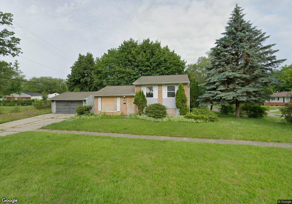
6111 Fleming Rd Flint, MI 48504
Brownell NeighborhoodEstimated Value: $64,000 - $118,000
3
Beds
2
Baths
1,990
Sq Ft
$46/Sq Ft
Est. Value
About This Home
This home is located at 6111 Fleming Rd, Flint, MI 48504 and is currently estimated at $90,573, approximately $45 per square foot. 6111 Fleming Rd is a home located in Genesee County with nearby schools including Brownell STEM Academy, The New Standard Academy, and Eagle's Nest Academy.
Ownership History
Date
Name
Owned For
Owner Type
Purchase Details
Closed on
Mar 13, 2023
Sold by
Mcewpn Tracy
Bought by
Wiley Ronald D
Current Estimated Value
Purchase Details
Closed on
Jan 19, 2022
Sold by
Carolyn Nicholson
Bought by
Nicholson Carolyn and Mcewen Tracy
Purchase Details
Closed on
Mar 23, 2009
Sold by
Foster Park Llc
Bought by
Nicholson Jimmy L and Nicholson Carolyn J
Purchase Details
Closed on
Jul 30, 2008
Sold by
Williams John
Bought by
The Bank Of New York Trust Co Na and Jpmorgan Chase Bank Na
Create a Home Valuation Report for This Property
The Home Valuation Report is an in-depth analysis detailing your home's value as well as a comparison with similar homes in the area
Home Values in the Area
Average Home Value in this Area
Purchase History
| Date | Buyer | Sale Price | Title Company |
|---|---|---|---|
| Wiley Ronald D | -- | None Listed On Document | |
| Nicholson Carolyn | -- | None Listed On Document | |
| Nicholson Jimmy L | $8,000 | Sargents Title Company | |
| The Bank Of New York Trust Co Na | $52,441 | None Available |
Source: Public Records
Tax History
| Year | Tax Paid | Tax Assessment Tax Assessment Total Assessment is a certain percentage of the fair market value that is determined by local assessors to be the total taxable value of land and additions on the property. | Land | Improvement |
|---|---|---|---|---|
| 2025 | $1,480 | $21,100 | $0 | $0 |
| 2024 | $1,363 | $17,000 | $0 | $0 |
| 2023 | $1,147 | $15,000 | $0 | $0 |
| 2022 | $0 | $13,100 | $0 | $0 |
| 2021 | $1,164 | $12,500 | $0 | $0 |
| 2020 | $1,068 | $14,300 | $0 | $0 |
| 2019 | $1,041 | $13,200 | $0 | $0 |
| 2018 | $1,038 | $11,700 | $0 | $0 |
| 2017 | $1,048 | $0 | $0 | $0 |
| 2016 | $1,134 | $0 | $0 | $0 |
| 2015 | -- | $0 | $0 | $0 |
| 2014 | -- | $0 | $0 | $0 |
| 2012 | -- | $18,900 | $0 | $0 |
Source: Public Records
Map
Nearby Homes
- 1511 W Home Ave
- 1709 W Home Ave
- 1216 Barbara Dr
- 5620 Marlowe Dr
- 1816 Russet Place
- 5905 Cloverlawn Dr
- 6310 Valorie Ln
- 1720 Marlowe Dr
- 6414 Valorie Ln
- 5413 Fleming Rd
- 5705 Winthrop Blvd
- 2106 Janice Dr
- 5502 Susan St
- 6902 Sally Ct
- 5610 Baldwin Blvd
- 6609 Cranwood Dr
- 1015 W Carpenter Rd
- 5106 Cloverlawn Dr
- 618 W Austin Ave
- 610 W Austin Ave
- 1605 Barbara Dr
- 1609 Barbara Dr
- 6101 Fleming Rd
- 1606 Barbara Dr
- 1602 Barbara Dr
- 1519 Barbara Dr
- 1606 W Home Ave
- 1526 W Home Ave
- 1613 Barbara Dr
- 6206 Belltree Ln
- 1520 W Home Ave
- 1610 W Home Ave
- 1617 Barbara Dr
- 1513 Barbara Dr
- 1610 Barbara Dr
- 1614 W Home Ave
- 1516 W Home Ave
- 6210 Belltree Ln
- 1522 Barbara Dr
- 6214 Belltree Ln
Your Personal Tour Guide
Ask me questions while you tour the home.