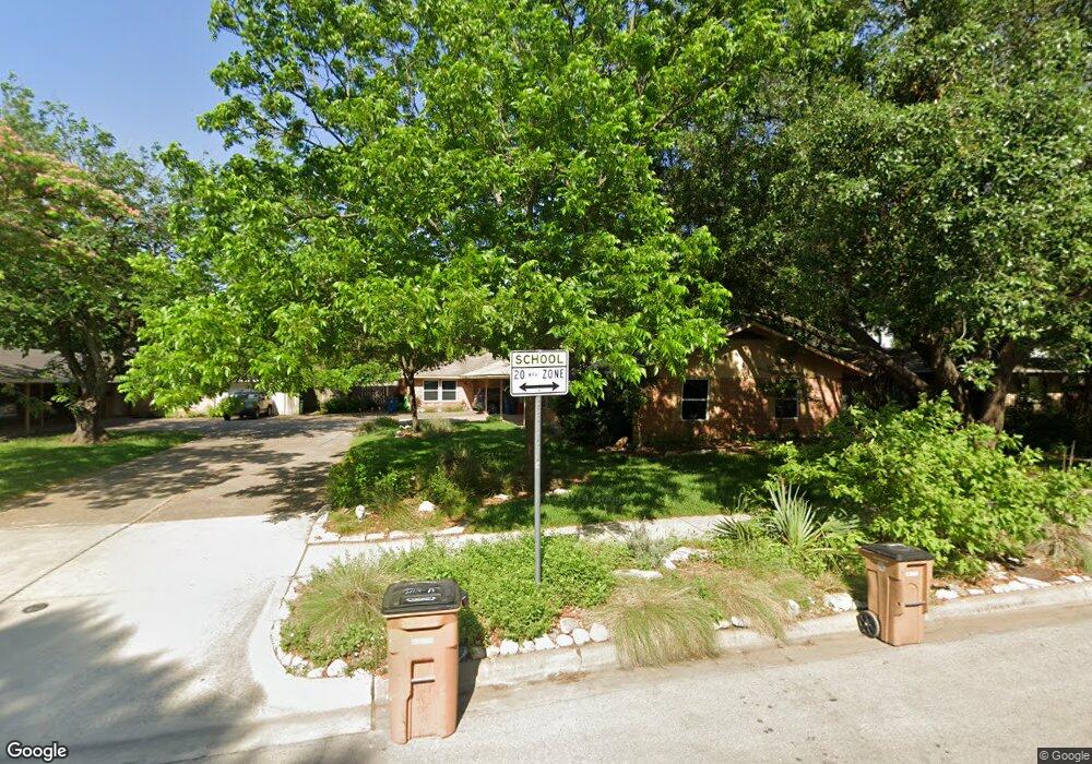
6112 Bullard Dr Unit b Austin, TX 78757
Allandale NeighborhoodEstimated Value: $753,000 - $959,000
2
Beds
2
Baths
1,100
Sq Ft
$775/Sq Ft
Est. Value
About This Home
This home is located at 6112 Bullard Dr Unit b, Austin, TX 78757 and is currently estimated at $852,734, approximately $775 per square foot. 6112 Bullard Dr Unit b is a home located in Travis County with nearby schools including Gullett Elementary School, Lamar Middle School, and McCallum High School.
Ownership History
Date
Name
Owned For
Owner Type
Purchase Details
Closed on
Oct 10, 2019
Sold by
Edwards Marsha Ann
Bought by
Edwards Marsha Ann
Current Estimated Value
Purchase Details
Closed on
Apr 28, 2000
Sold by
Trawick Lore L
Bought by
Edwards Charles Mack and Edwards Marsha Ann
Home Financials for this Owner
Home Financials are based on the most recent Mortgage that was taken out on this home.
Original Mortgage
$87,750
Outstanding Balance
$30,468
Interest Rate
8.21%
Mortgage Type
Seller Take Back
Estimated Equity
$822,266
Create a Home Valuation Report for This Property
The Home Valuation Report is an in-depth analysis detailing your home's value as well as a comparison with similar homes in the area
Home Values in the Area
Average Home Value in this Area
Purchase History
| Date | Buyer | Sale Price | Title Company |
|---|---|---|---|
| Edwards Marsha Ann | -- | None Available | |
| Edwards Charles Mack | -- | Texas Professional Title Inc |
Source: Public Records
Mortgage History
| Date | Status | Borrower | Loan Amount |
|---|---|---|---|
| Open | Edwards Charles Mack | $87,750 | |
| Closed | Edwards Charles Mack | $98,888 |
Source: Public Records
Tax History Compared to Growth
Tax History
| Year | Tax Paid | Tax Assessment Tax Assessment Total Assessment is a certain percentage of the fair market value that is determined by local assessors to be the total taxable value of land and additions on the property. | Land | Improvement |
|---|---|---|---|---|
| 2025 | $8,032 | $735,609 | $563,984 | $171,625 |
| 2023 | $7,417 | $722,754 | $0 | $0 |
| 2022 | $13,113 | $663,995 | $0 | $0 |
| 2021 | $12,694 | $583,179 | $350,000 | $233,179 |
| 2020 | $11,832 | $551,641 | $350,000 | $201,641 |
| 2018 | $10,044 | $453,659 | $385,000 | $80,440 |
| 2017 | $5,423 | $243,166 | $184,800 | $99,809 |
| 2016 | $4,930 | $221,060 | $168,300 | $55,718 |
| 2015 | $2,180 | $200,964 | $151,800 | $49,164 |
| 2014 | $2,180 | $200,964 | $151,800 | $49,164 |
Source: Public Records
Map
Nearby Homes
- 3012 Hunt Trail
- 6006 Cary Dr
- 5904 Shoal Creek Blvd
- 6410 Wilbur Dr
- 6408 Nasco Dr
- 6501 E Hill Dr Unit 201
- 6501 E Hill Dr
- 5903 Overlook Dr
- 5702 Fairlane Dr
- 6701 Lexington Rd
- 3431 N Hills Dr Unit 102
- 3431 N Hills Dr Unit 119
- 5807 Woodview Ave
- 6631 Valleyside Rd
- 5723 Highland Hills Dr
- 6444 Burnet Rd Unit 204
- 6444 Burnet Rd Unit 305
- 3500 Northland Dr
- 2711 Pegram Ave
- 5902 Tumbling Cir
- 6112 Bullard Dr
- 6112 Bullard Dr
- 6114 Bullard Dr
- 6110 Bullard Dr
- 6110 Bullard Dr Unit B
- 6110 Bullard Dr Unit A
- 6111 Janey Dr
- 6113 Janey Dr
- 6116 Bullard Dr Unit A
- 6116 Bullard Dr Unit B
- 6116 Bullard Dr
- 6116 Bullard Dr Unit 1
- 6109 Janey Dr
- 6108 Bullard Dr Unit B
- 6108 Bullard Dr Unit A
- 6108 Bullard Dr
- 6200 Shoal Creek Dr W Unit A
- 6200 Shoal Creek Dr W
- 6200 Shoal Creek Dr W Unit B
- 6115 Janey Dr