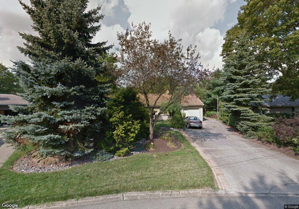
6112 Circle Dr Youngstown, OH 44514
Estimated Value: $232,000 - $245,000
3
Beds
1
Bath
1,428
Sq Ft
$168/Sq Ft
Est. Value
About This Home
This home is located at 6112 Circle Dr, Youngstown, OH 44514 and is currently estimated at $239,389, approximately $167 per square foot. 6112 Circle Dr is a home located in Mahoning County with nearby schools including Poland Union Elementary School, Poland Middle School, and Poland Seminary High School.
Ownership History
Date
Name
Owned For
Owner Type
Purchase Details
Closed on
Feb 26, 2004
Sold by
Bajerski David W and Bajerski Cheryl M
Bought by
Bajerski David
Current Estimated Value
Home Financials for this Owner
Home Financials are based on the most recent Mortgage that was taken out on this home.
Original Mortgage
$108,750
Outstanding Balance
$51,074
Interest Rate
5.74%
Mortgage Type
New Conventional
Estimated Equity
$188,315
Purchase Details
Closed on
Mar 18, 1986
Bought by
Bajerski David W
Create a Home Valuation Report for This Property
The Home Valuation Report is an in-depth analysis detailing your home's value as well as a comparison with similar homes in the area
Home Values in the Area
Average Home Value in this Area
Purchase History
| Date | Buyer | Sale Price | Title Company |
|---|---|---|---|
| Bajerski David | -- | Tower City Title Agency Llc | |
| Bajerski David W | $68,000 | -- |
Source: Public Records
Mortgage History
| Date | Status | Borrower | Loan Amount |
|---|---|---|---|
| Open | Bajerski David | $108,750 |
Source: Public Records
Tax History Compared to Growth
Tax History
| Year | Tax Paid | Tax Assessment Tax Assessment Total Assessment is a certain percentage of the fair market value that is determined by local assessors to be the total taxable value of land and additions on the property. | Land | Improvement |
|---|---|---|---|---|
| 2024 | $3,542 | $72,220 | $12,250 | $59,970 |
| 2023 | $3,460 | $72,220 | $12,250 | $59,970 |
| 2022 | $2,771 | $48,320 | $12,250 | $36,070 |
| 2021 | $2,643 | $48,320 | $12,250 | $36,070 |
| 2020 | $2,655 | $48,320 | $12,250 | $36,070 |
| 2019 | $2,386 | $40,430 | $12,250 | $28,180 |
| 2018 | $2,236 | $40,430 | $12,250 | $28,180 |
| 2017 | $2,233 | $40,430 | $12,250 | $28,180 |
| 2016 | $2,471 | $42,520 | $10,630 | $31,890 |
| 2015 | $2,418 | $42,520 | $10,630 | $31,890 |
| 2014 | $2,427 | $42,520 | $10,630 | $31,890 |
| 2013 | $2,396 | $42,520 | $10,630 | $31,890 |
Source: Public Records
Map
Nearby Homes
- 6074 Frontier Dr
- 2721 Algonquin Dr
- 2379 Clyde St
- 154 Rocky Ledge Dr
- 2856 Heatherbrae Dr
- 5838 Poland Struthers Rd
- 2295 Bel Aire Ln
- 2959 Algonquin Dr
- 2667 Center Rd
- 2985 Algonquin Dr
- 0 Clingan Rd Unit 4461196
- 2831 Center Rd
- 2307 Hamilton Ave
- 25 Lakeshore Dr
- 6137 Acatello Place
- 2411 Lyon Blvd
- 43 Venloe Dr
- 3151 Heatherbrae Dr
- 34 Venloe Dr
- 764 Poland Ave
- 6116 Circle Dr
- 6108 Circle Dr
- 6120 Circle Dr
- 6104 Circle Dr
- 6105 Circle Dr
- 6090 Diana Dr
- 6130 Circle Dr
- 6102 Diana Dr
- 6095 Frontier Dr
- 2602 Algonquin Dr
- 6118 Diana Dr
- 6088 Frontier Dr
- 6142 Circle Dr
- 6079 Frontier Dr
- 6161 Circle Dr
- 2606 Algonquin Dr
- 6146 Diana Dr
- 2619 Algonquin Dr
- 6162 Diana Dr
- 6179 Circle Dr