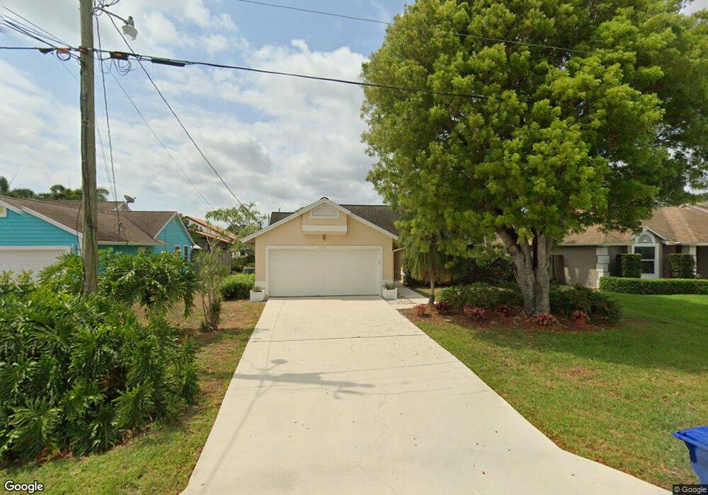
6112 Michael St Jupiter, FL 33458
North Palm Beach Heights NeighborhoodEstimated Value: $529,684 - $604,000
3
Beds
2
Baths
1,278
Sq Ft
$434/Sq Ft
Est. Value
About This Home
This home is located at 6112 Michael St, Jupiter, FL 33458 and is currently estimated at $554,171, approximately $433 per square foot. 6112 Michael St is a home located in Palm Beach County with nearby schools including Lighthouse Elementary School, William T. Dwyer High School, and Beacon Cove Intermediate School.
Ownership History
Date
Name
Owned For
Owner Type
Purchase Details
Closed on
Sep 30, 1993
Sold by
Neal Paul G and Neal Diana P
Bought by
Veal Adam C
Current Estimated Value
Home Financials for this Owner
Home Financials are based on the most recent Mortgage that was taken out on this home.
Original Mortgage
$89,200
Interest Rate
7.01%
Mortgage Type
Purchase Money Mortgage
Create a Home Valuation Report for This Property
The Home Valuation Report is an in-depth analysis detailing your home's value as well as a comparison with similar homes in the area
Home Values in the Area
Average Home Value in this Area
Purchase History
| Date | Buyer | Sale Price | Title Company |
|---|---|---|---|
| Veal Adam C | $97,000 | -- |
Source: Public Records
Mortgage History
| Date | Status | Borrower | Loan Amount |
|---|---|---|---|
| Closed | Veal Adam C | $89,200 |
Source: Public Records
Tax History
| Year | Tax Paid | Tax Assessment Tax Assessment Total Assessment is a certain percentage of the fair market value that is determined by local assessors to be the total taxable value of land and additions on the property. | Land | Improvement |
|---|---|---|---|---|
| 2025 | $2,163 | $147,724 | -- | -- |
| 2024 | $2,163 | $143,561 | -- | -- |
| 2023 | $2,111 | $139,380 | $0 | $0 |
| 2022 | $2,073 | $135,320 | $0 | $0 |
| 2021 | $2,032 | $131,379 | $0 | $0 |
| 2020 | $2,017 | $129,565 | $0 | $0 |
| 2019 | $1,980 | $126,652 | $0 | $0 |
| 2018 | $1,870 | $124,290 | $0 | $0 |
| 2017 | $1,850 | $121,734 | $0 | $0 |
| 2016 | $1,813 | $119,230 | $0 | $0 |
| 2015 | $1,872 | $118,401 | $0 | $0 |
| 2014 | $1,867 | $117,461 | $0 | $0 |
Source: Public Records
Map
Nearby Homes
- 234 San Remo Dr
- 6229 Lucerne St
- 6267 Garrett St
- 3518 Community Dr
- 164 Soriano Dr
- 6249 Foster St
- 6031 Robinson St
- 6261 Pompano St
- 3151 E Community Dr
- 4030 Community Dr
- 3057 E Community Dr
- 110 Florence Dr
- 6039 Adams St
- 136 Ashley Ct
- 124 Ashley Ct
- 6395 Barbara St
- 418 San Remo Dr
- 4118 Parkside Dr
- 6130 Francis St
- 4118 Greenway Dr
- 6092 Michael St
- 6120 Michael St
- 6113 Lucerne St
- 6121 Lucerne St
- 6084 Michael St
- 6132 Michael St
- 6085 Lucerne St
- 6129 Lucerne St
- 6111 Michael St
- 6091 Michael St
- 6121 Michael St
- 6076 Michael St
- 6140 Michael St
- 6085 Michael St
- 6131 Michael St
- 6077 Lucerne St
- 6137 Lucerne St
- 6068 Michael St
- 6062 Michael St
- 6144 Michael St
Your Personal Tour Guide
Ask me questions while you tour the home.