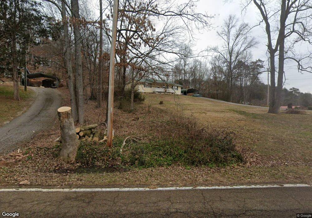
6113 Levi Rd Hixson, TN 37343
Falling Water NeighborhoodEstimated Value: $241,000 - $284,000
3
Beds
2
Baths
1,176
Sq Ft
$216/Sq Ft
Est. Value
About This Home
This home is located at 6113 Levi Rd, Hixson, TN 37343 and is currently estimated at $254,332, approximately $216 per square foot. 6113 Levi Rd is a home located in Hamilton County with nearby schools including Ganns Middle Valley Elementary School, Red Bank Middle School, and Red Bank High School.
Ownership History
Date
Name
Owned For
Owner Type
Purchase Details
Closed on
Apr 14, 2011
Sold by
Citimortgage Inc
Bought by
Young Linda F
Current Estimated Value
Purchase Details
Closed on
Mar 15, 2011
Sold by
Federal National Mortgage Association
Bought by
Citimortgage Inc
Purchase Details
Closed on
Jul 21, 2009
Sold by
Lusk Jessica H and Lusk Michael C
Bought by
Federal National Mortgage Association
Purchase Details
Closed on
Mar 22, 2007
Sold by
Lusk Michael C and Lusk Connie Quinn
Bought by
Lusk Michael C and Lusk Jessica H
Home Financials for this Owner
Home Financials are based on the most recent Mortgage that was taken out on this home.
Original Mortgage
$140,000
Interest Rate
6.22%
Mortgage Type
Purchase Money Mortgage
Purchase Details
Closed on
Aug 6, 2002
Sold by
Lusk Michael C
Bought by
Lusk Connie Quinn
Purchase Details
Closed on
May 18, 2001
Sold by
Lusk Darla M
Bought by
Lusk Michael C
Create a Home Valuation Report for This Property
The Home Valuation Report is an in-depth analysis detailing your home's value as well as a comparison with similar homes in the area
Home Values in the Area
Average Home Value in this Area
Purchase History
| Date | Buyer | Sale Price | Title Company |
|---|---|---|---|
| Young Linda F | $68,000 | None Available | |
| Citimortgage Inc | -- | None Available | |
| Federal National Mortgage Association | $123,168 | None Available | |
| Lusk Michael C | $140,000 | None Available | |
| Lusk Connie Quinn | -- | Pioneer Title Agency Inc | |
| Lusk Michael C | -- | -- |
Source: Public Records
Mortgage History
| Date | Status | Borrower | Loan Amount |
|---|---|---|---|
| Previous Owner | Lusk Michael C | $140,000 |
Source: Public Records
Tax History Compared to Growth
Tax History
| Year | Tax Paid | Tax Assessment Tax Assessment Total Assessment is a certain percentage of the fair market value that is determined by local assessors to be the total taxable value of land and additions on the property. | Land | Improvement |
|---|---|---|---|---|
| 2024 | $721 | $32,225 | $0 | $0 |
| 2023 | $730 | $32,225 | $0 | $0 |
| 2022 | $730 | $32,225 | $0 | $0 |
| 2021 | $730 | $32,225 | $0 | $0 |
| 2020 | $747 | $26,700 | $0 | $0 |
| 2019 | $747 | $26,700 | $0 | $0 |
| 2018 | $747 | $26,700 | $0 | $0 |
| 2017 | $747 | $26,700 | $0 | $0 |
| 2016 | $710 | $0 | $0 | $0 |
| 2015 | $710 | $25,350 | $0 | $0 |
| 2014 | $710 | $0 | $0 | $0 |
Source: Public Records
Map
Nearby Homes
- 792 Sawmill Trail
- 595 Deer Valley Dr
- 6016&6014 Browntown Rd
- 5940 Sunset Canyon Dr
- 598 Blue Canyon Ln
- 805 Pickett Gulf Rd
- 0 Dayton Blvd Unit RTC2802699
- 0 Dayton Blvd Unit 1508885
- 101 La Porte Dr
- 5839 Dayton Blvd
- 5977 Crestview Dr
- 100 Pine Cone Ln
- 733 Ray Ln
- 107 Pine Forest Ln
- 3 Abelia Ln
- 60166014 Browntown Rd
- 5877 Courtyard Cir
- 810 Younger Cir
- 311 Shady Crest Dr
- 5751 Old Dayton Pike